
Radar Satellites Reveal Hidden Winter Movements of Endangered Emperor Penguins
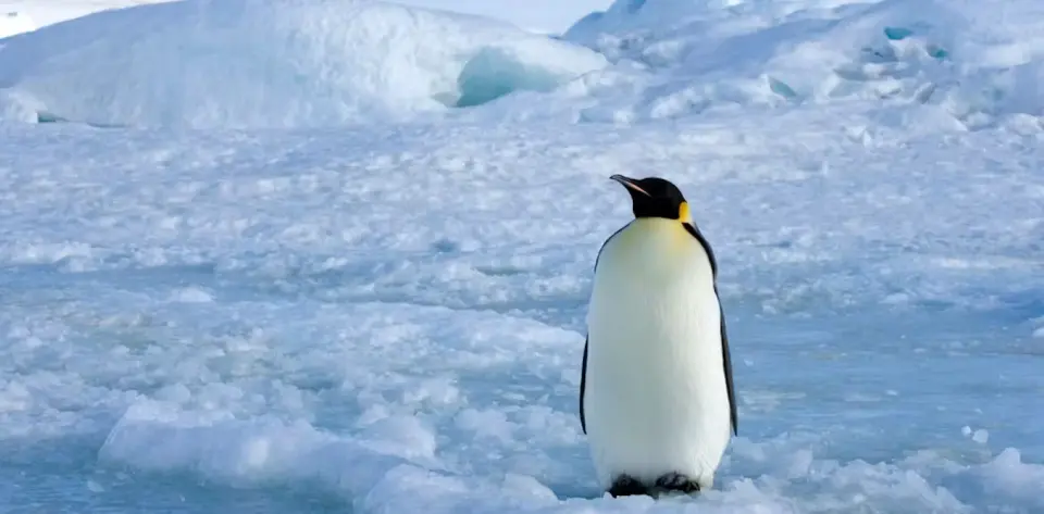
Researchers have successfully used synthetic aperture radar (SAR) from the European Space Agency’s Sentinel-1 satellite to track emperor penguin colonies during the dark Antarctic winter. This method bypasses the limitations of optical imaging, which requires sunlight. By analyzing microwave pulses, scientists identified bright, moving pixel clusters on stable sea ice that correspond to penguin colonies. This allows for year-round monitoring of breeding cycles, including egg-laying and chick-hatching phases, using freely available data from 2017 to 2024. The technique provides critical insights into species behavior during a period previously invisible to standard satellite imagery, aiding conservation efforts for this endangered species.
Key points
- Synthetic aperture radar (SAR) enables tracking of emperor penguin colonies in Antarctica during the winter months when optical satellite imagery is ineffective due to darkness.
- The research team utilized data from the European Space Agency’s Sentinel-1 satellite, which sends microwave pulses to detect surface properties regardless of cloud cover or sunlight.
- Bright, moving pixel clusters observed in SAR imagery were confirmed as penguin colonies by comparing winter radar data with optical images taken in September when sunlight returned.
- The study analyzed eight years of data (2017-2024) to track three of the largest colonies year-round, revealing movement patterns from early winter through the hatching of chicks in December and January.
- Colony movements were generally limited in winter but expanded in spring and summer; notably, the Atka Bay colony moved onto glacier ice in seven of the eight years studied, despite stable sea ice being their preferred habitat.
- Emperor penguins were recently classified as endangered by the International Union for Conservation of Nature due to declining sea ice, making continuous monitoring essential for understanding their response to environmental changes.
Background
Previous satellite monitoring of emperor penguins relied on optical imagery detecting dark guano stains on snow, which only works during summer months when sunlight is available. This new radar approach complements earlier findings that used Landsat-8 to identify Adélie penguin diets and locations, extending the capability to observe the full breeding cycle of emperor penguins. The development follows broader advancements in using radar technology for environmental monitoring, such as studies on volcanic activity in Nicaragua, but applies specifically to wildlife conservation in polar regions where traditional observation methods are hindered by seasonal darkness.
Why it matters
This advancement allows for continuous, year-round monitoring of a species classified as endangered due to sea ice decline. By observing colonies during the critical winter breeding phase, researchers can better understand how environmental changes impact penguin behavior and survival. The use of freely available satellite data democratizes access to this information, enabling broader scientific collaboration and more accurate population assessments without requiring costly field expeditions to remote Antarctic locations.
What to watch
Researchers plan to expand the use of SAR data to monitor more colonies and investigate the reasons behind specific movement patterns, such as the Atka Bay colony's shift to glacier ice. Continued analysis of the eight-year dataset will help determine how these behavioral changes correlate with broader trends in Antarctic sea ice stability and decline, providing crucial data for conservation strategies and climate impact assessments.
Want the full story? Read the original reporting
Read on The Conversation