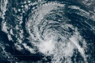
Dolly Forms in Atlantic, Forecast to Bring Heavy Rain to Caribbean
Tropical Storm Dolly has formed in the Atlantic and could bring heavy rain to parts of the Caribbean, with forecasters monitoring its track for potential impacts.

All articles tagged with #atlantic
Tropical Storm Dolly has formed in the Atlantic and could bring heavy rain to parts of the Caribbean, with forecasters monitoring its track for potential impacts.
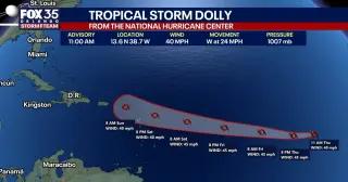
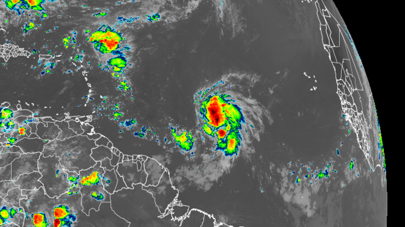
The National Hurricane Center confirms Tropical Storm Dolly formed in the far eastern Atlantic as the fourth named storm of the 2026 season, moving west at about 24 mph with 40 mph winds. It’s not expected to strengthen over the next 48 hours and could weaken to a tropical wave by the weekend. No immediate impacts to the U.S. or Florida are anticipated, though the track remains uncertain while Dolly remains far away.
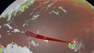
Tropical Storm Dolly has formed in the Atlantic but is expected to be short-lived, with forecasts signaling rapid weakening and minimal impact.
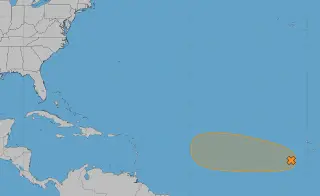
The National Hurricane Center is monitoring a single Atlantic system, Invest 96L, located southwest of the Cape Verde Islands, with a 60% chance to develop into a tropical depression or storm over the next 2–7 days as it moves westward, but conditions are expected to become less favorable by this weekend, reducing development chances. A second potential system near Bermuda has moved into waters not conducive to development with 0% chances. The 2026 season has been slow with three named storms (Arthur, Bertha, Cristobal); Dolly is next. NOAA’s updated forecast now calls for 7–13 named storms, 2–6 hurricanes, and possibly no major hurricanes, reflecting a below-average season with peak activity mid-August to mid-October.
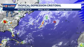
The National Hurricane Center downgraded Cristobal to a tropical depression about 610 miles west of the Azores, with maximum sustained winds around 35 mph and a northeast drift of roughly 16 mph; the system is expected to dissipate soon, and no coastal watches or warnings are in effect.
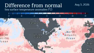
The 2026 Atlantic hurricane season has started unusually slowly, with NOAA forecasting 8–14 named storms, 3–6 hurricanes, and 1–3 major hurricanes, while CSU keeps its July forecast at nine named storms (four hurricanes, one major). So far two tropical storms—Arthur and Bertha—have formed in the Gulf. Forecasters expect the peak from mid-August to mid-October, but signals point to below-average activity due to a strengthening El Niño and cooler Atlantic waters that raise wind shear in the main development region. A few storms could still form, but this season is shaping up to be among the quietest in years; the Pacific is more active, and the lingering El Niño could influence 2027 as well.

A three-month expedition near Nantucket and Martha’s Vineyard drilled as deep as 1,300 feet below the Atlantic seafloor and recovered about 13,200 gallons of freshwater, confirming a large reservoir that stretches from offshore New Jersey to Maine and could theoretically supply New York City for around 800 years. While the freshwater appears present in several sediment types, accessing and safely using it would be technically complex, expensive, and potentially harmful to marine ecosystems, so researchers are still estimating the reservoir’s size, connections to onshore aquifers, and whether it’s being replenished.
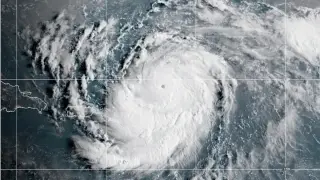
NOAA’s 2026 Atlantic hurricane outlook calls for a below-average season, with fewer named storms and hurricanes than the long-term average. Forecasters point to expected atmospheric and oceanic conditions—such as increased wind shear and climate variability patterns tied to ENSO—that typically suppress development in the Atlantic. Even in a quieter season, residents should not become complacent: stay informed through official updates, review preparedness and evacuation plans, and monitor any storms that do form.

In a fiery Senate appropriations hearing, FBI director Kash Patel denied allegations of excessive drinking and unexplained absences as “baseless,” calling the reports a “total farce” and announcing a $250 million defamation lawsuit against The Atlantic. Democrats argued the claims signal a dereliction of duty, while Patel challenged the questioning and even offered to take a sobriety test alongside Sen. Chris Van Hollen. The dispute also touched on a disputed bar-tab spending claim and prior coverage, including a ProPublica video of him with the USA hockey team, all underscoring ongoing contention around his conduct and leadership.

The French Navy’s nuclear-powered carrier strike group, centered on the aircraft carrier Charles de Gaulle, set sail from Toulon to participate in ORION 26, a joint high-intensity exercise in the Atlantic. While exact CSG composition wasn’t officially published, observers saw the Alsace (D652), Chevalier Paul (D621), Italian Andrea Doria (D553), and the BRF Jacques Chevallier (A725) departing, with a focus on air defense and a submarine likely to be part of the group. ORION 26 will span the coming weeks and involve 24 countries, testing France’s ability to conduct high‑intensity operations in a joint and combined environment, against a backdrop of European security tensions and France’s leadership of the coalition.
Tropical Storm Jerry has formed in the central Atlantic and is expected to strengthen into a Category 1 hurricane, potentially impacting the northern Leeward Islands, but is not expected to threaten the US mainland due to a cold front. The Atlantic hurricane season is winding down, but late-season storms and weather patterns like the Central American Gyre could still produce significant storms in October and November.
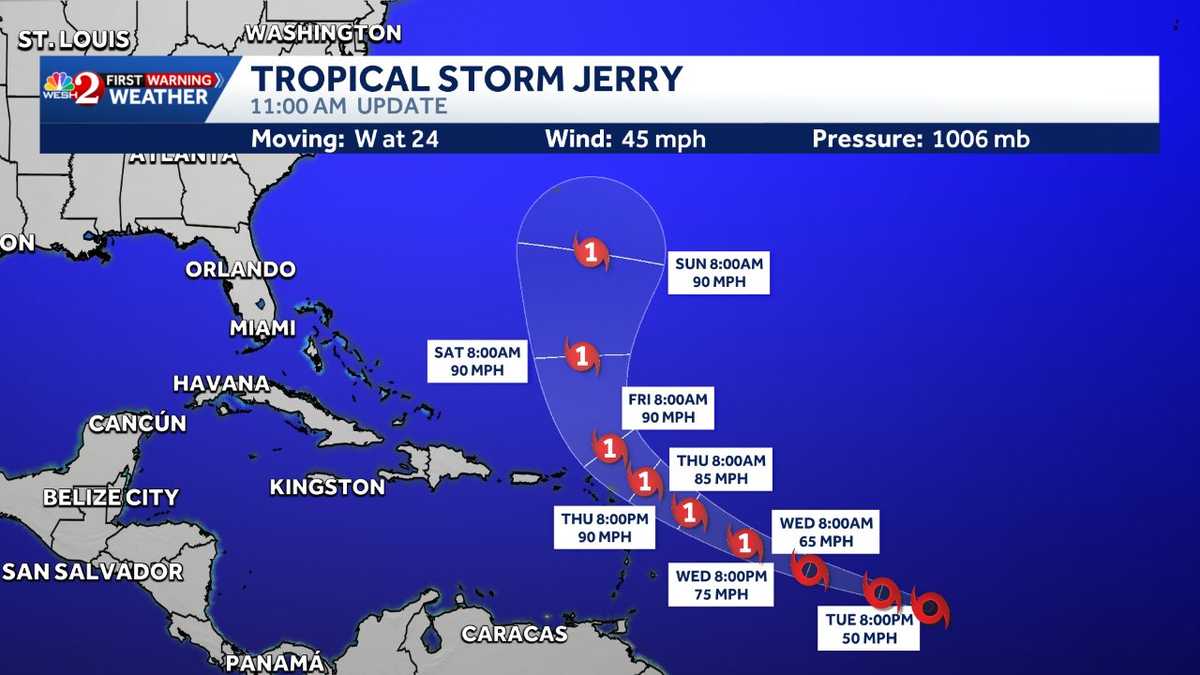
Tropical Storm Jerry has formed in the Atlantic and is expected to strengthen into a hurricane within a few days, with its core forecasted to approach the northern Leeward Islands; its impact on Florida or the U.S. remains uncertain, but it is generating dangerous swells and rip currents.
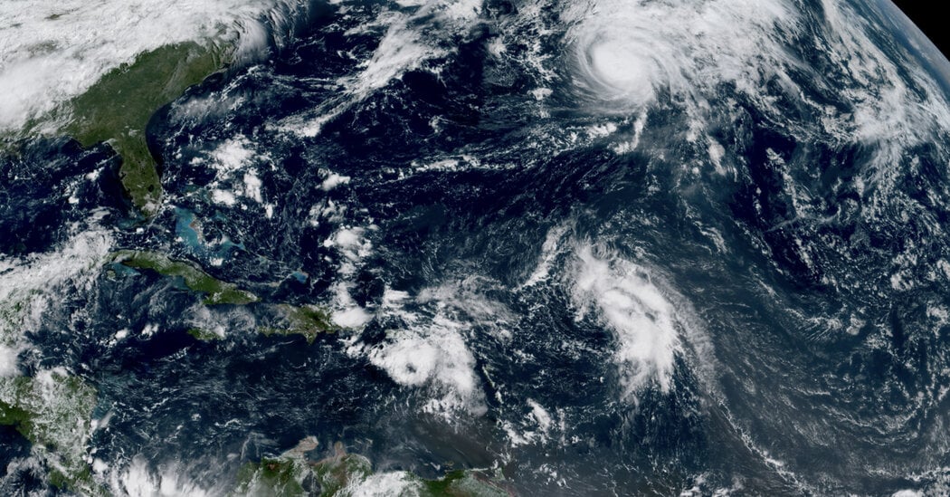
Tropical Storm Humberto has formed in the Atlantic, contributing to an active hurricane season that includes Hurricane Gabrielle and a potential new storm, making this one of the most active periods of the year with uncertain impacts.
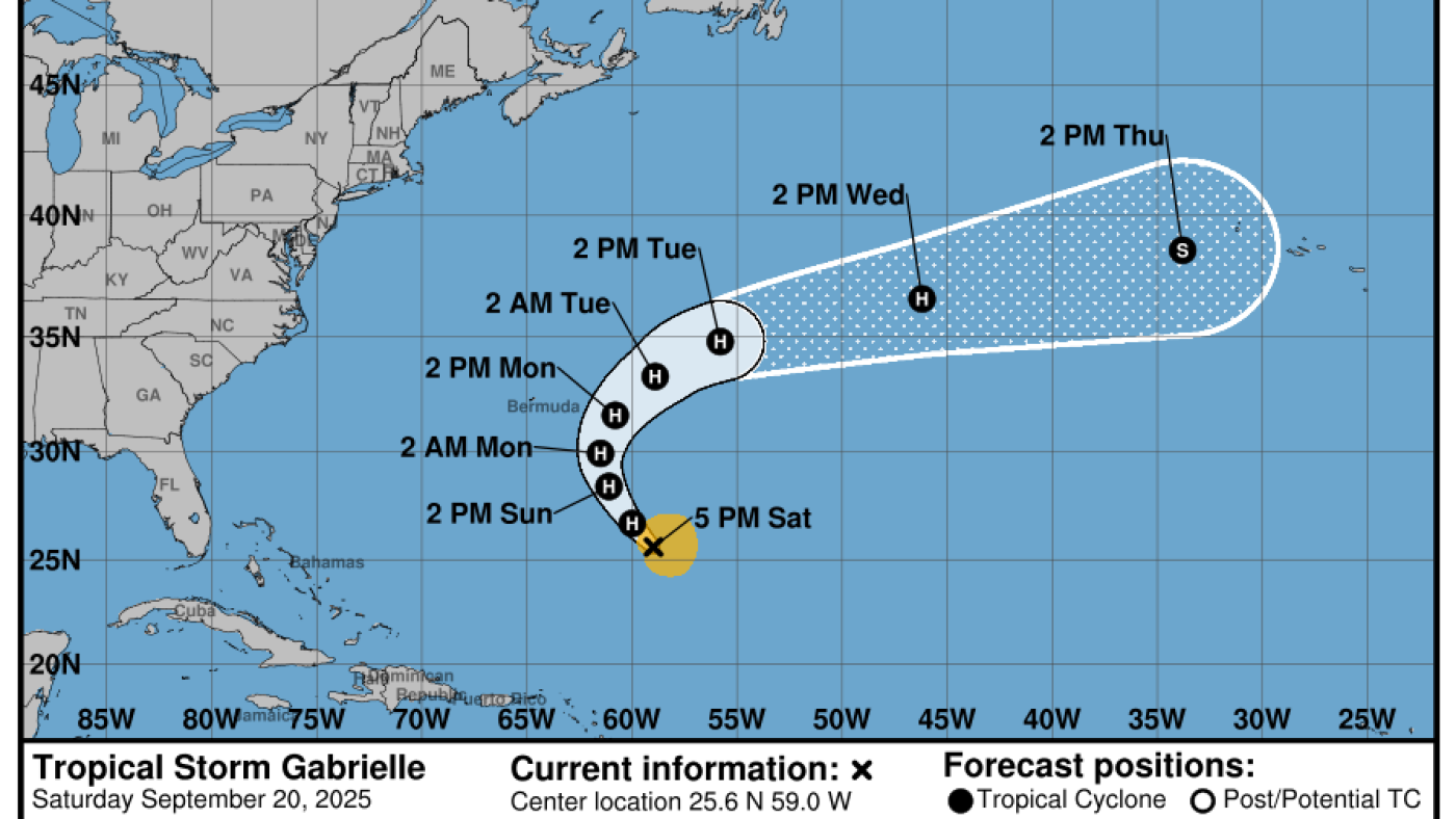
Tropical Storm Gabrielle is expected to become a Category 2 hurricane, passing east of Bermuda and missing the U.S. mainland, but potentially causing dangerous swells and rip currents in nearby regions, marking the second Atlantic hurricane of the season.
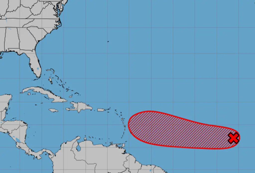
The National Hurricane Center is monitoring a developing system in the Atlantic, with a high chance of becoming a tropical depression or storm, potentially impacting the Caribbean and possibly threatening Florida, as it moves westward and could become Tropical Storm Gabrielle.