Mapping the Path of Totality: Solar Eclipse Maps Point the Way
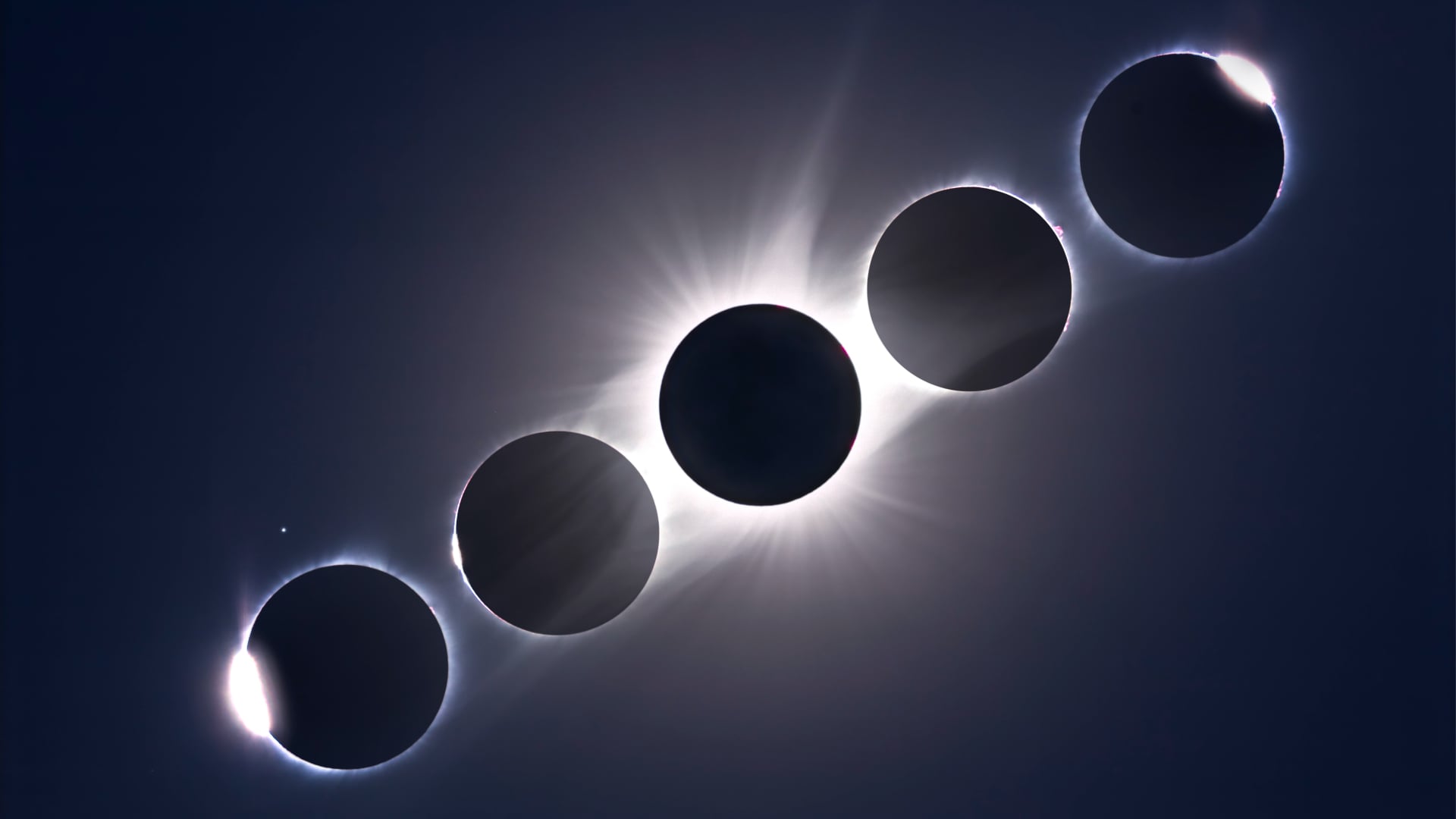
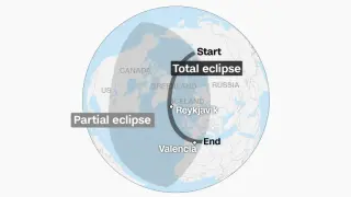
A CNN Science/Space article explains how eclipse cartographers map the path of totality for the August 12, 2026 solar eclipse. EclipseAtlas founder Michael Zeiler uses centuries of observations and high-precision modeling—including the saros cycle and Delta T corrections—to predict where the Moon’s shadow will fall, helping observers choose optimal viewing spots, sometimes at the edge of totality to catch phenomena like Baily’s Beads. Totality will be visible from Greenland, Iceland, northern Spain and northeastern Portugal, with partial views across Europe, Africa and North America; timings vary (Reykjavík ~1:48, León ~2:28). Maps and resources like Time and Date aid planning, and the piece notes that continued refinements in measurements keep eclipse predictions advancing toward kilometer-scale accuracy, with next total eclipses in 2027 and 2044 anticipated for observers.