Seismic Survey Maps a 2.4-Mile-Deep Rock Cap Beneath Yellowstone's Caldera
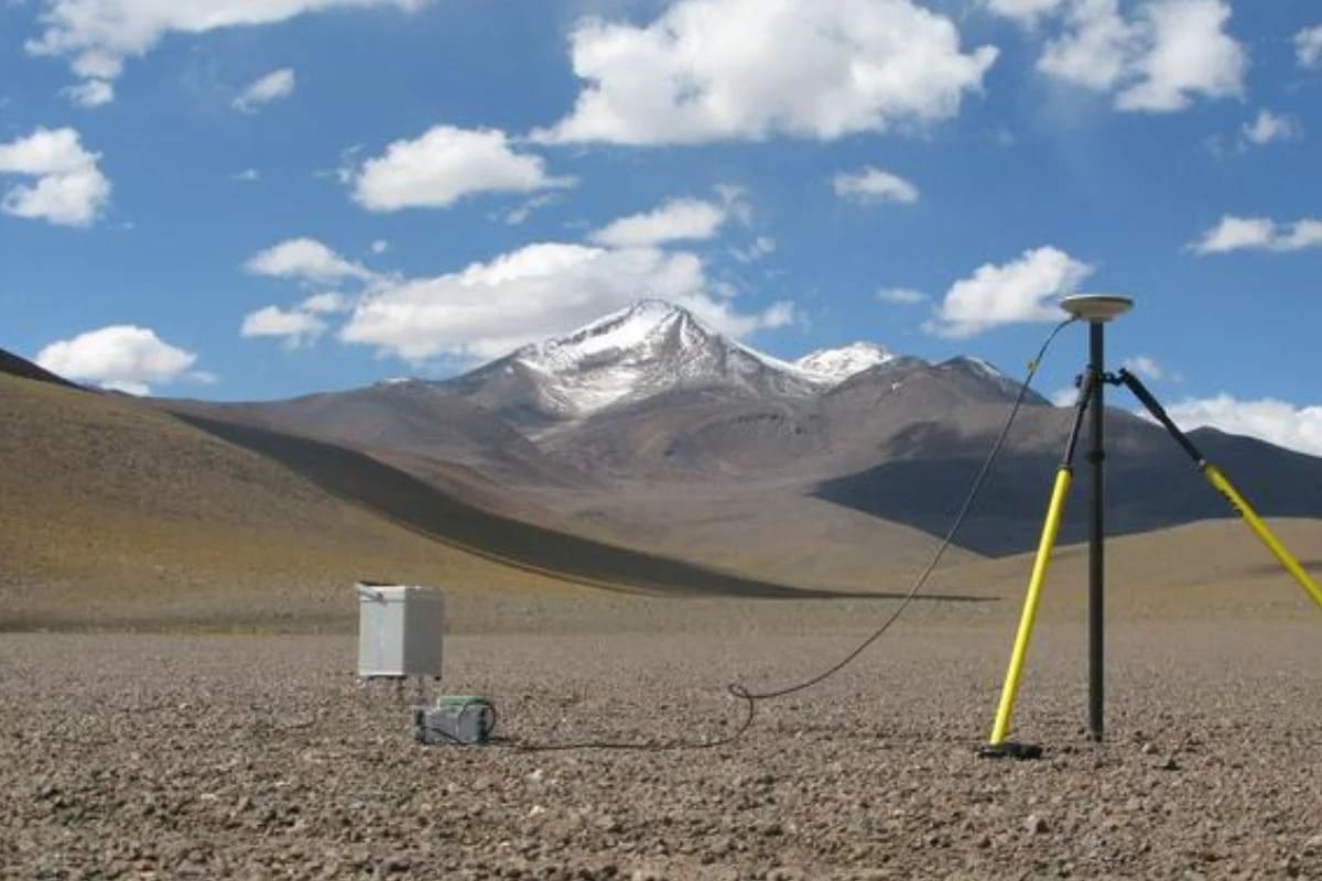
A team deployed 650 geophones and a 53,000‑pound vibroseis truck at 110 roadside stops to image Yellowstone’s crust, revealing a sharp, roughly 100‑meter‑thick boundary about 3.8 kilometers (2.4 miles) below the caldera that marks the top of the magma reservoir. The upper portion is about 86% solid rock with 14% pore space of melt and volatiles, suggesting the system is not an open magma tank and helping explain its long quiescence. This high‑definition boundary improves hazard modeling and ongoing monitoring, without indicating an imminent eruption.