
Volcanic Blanket in Chile Offers New Way to Measure Ancient Mountain Growth
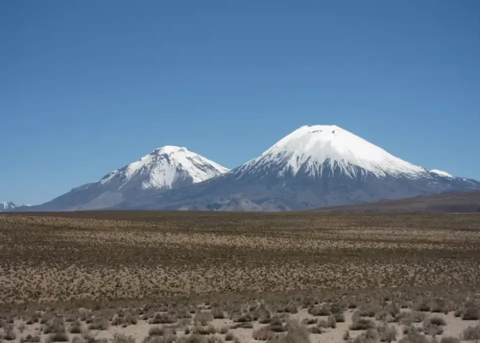
A massive volcanic eruption in northern Chile 22 million years ago buried an entire landscape, preserving a snapshot of the Andes' early formation. Researchers used the geometry of this deposit to calculate that the mountains were rising slowly, at a rate of less than 0.26 kilometers per million years, supporting the theory of gradual tectonic growth.
Key points
- The Cardones ignimbrite, a deposit over 1,260 cubic kilometers in volume, was emplaced 21.9 million years ago from the Lauca Caldera.
- The deposit's original surface slope was approximately 1.5 degrees, which acted as a geometric limit for the terrain it covered.
- Researchers modeled 560 synthetic landscapes to determine that the pre-eruption terrain consisted of gentle foothills rather than steep peaks.
- The study suggests the Andes in this region rose at a rate of roughly 2.6 centimeters per century, indicating a slow, steady tectonic history.
- This method provides an independent check on other geological dating techniques, such as thermochronometry, by analyzing physical topography rather than chemical clocks.
Background
The formation of the Andes has long been a subject of geological debate, with some models suggesting rapid uplift in the last 10 million years and others proposing a gradual rise over 50 million years. This study provides a new physical constraint on that history. Previous research, such as the 2017 analysis of the Cardones deposit's geometry, laid the groundwork for understanding its original shape, while broader tectonic reviews have highlighted the complexity of plateau growth in the Central Andes.
How outlets are covering it
The Brighter Side of News and Live Science emphasize the 'Pompeii-like' preservation of the landscape, highlighting the dramatic scale of the eruption. Space Daily offers a more technical perspective, stressing that the 0.26 km/Ma figure is an upper limit rather than a precise measurement, and notes that the method relies on specific assumptions about river erosion and aridity. UA.NEWS provides a concise summary, focusing on the consistency of these findings with the slow-growth hypothesis. While all outlets agree on the core data, Space Daily is more cautious about the direct comparison with other geological dating methods, noting that the timescales integrated by different techniques are fundamentally different.
Why it matters
This research introduces a novel method for reconstructing ancient landscapes that are no longer visible. By using the geometry of large volcanic deposits as a 'ceiling' for the terrain they buried, scientists can now place constraints on tectonic uplift rates in regions where direct observation is impossible. This could be applied to other volcanic areas worldwide to better understand how mountain ranges have evolved over millions of years.
What to watch
Researchers plan to apply this geometric modeling approach to other large ignimbrite deposits around the world. The goal is to reconstruct landscapes buried millions of years ago and refine our understanding of tectonic history in various mountain systems. Further studies may also investigate how climate and rock type influenced the erosion efficiency of the rivers that shaped the pre-eruption terrain.
- A giant Pompeii-scale eruption buried an ancient Andes landscape and preserved it for 22 million years The Brighter Side of News
- South American 'Pompeii': Volcanic eruption 22 million years ago preserved a snapshot of the Andes forming Live Science
- A volcanic sheet that buried a whole mountain landscape in northern Chile 21.9 million years ago has a top flat enough to put a ceiling on how fast rock in that part of the Andes was being pushed up before the eruption Space Daily
- Eruption 22 million years ago preserved traces of the Andes’ formation in Chile — Live Science UA.NEWS
- Devastating Volcanic Eruption Engulfed Part of Chile 21.9 Million Years Ago, Burying Evidence of Andes Uplift Discover Magazine
Want the full story? Read the original reporting
Read on The Brighter Side of News