
"NASA's Groundbreaking Image Reveals Pennsylvania's Air Pollution Crisis"
TL;DR
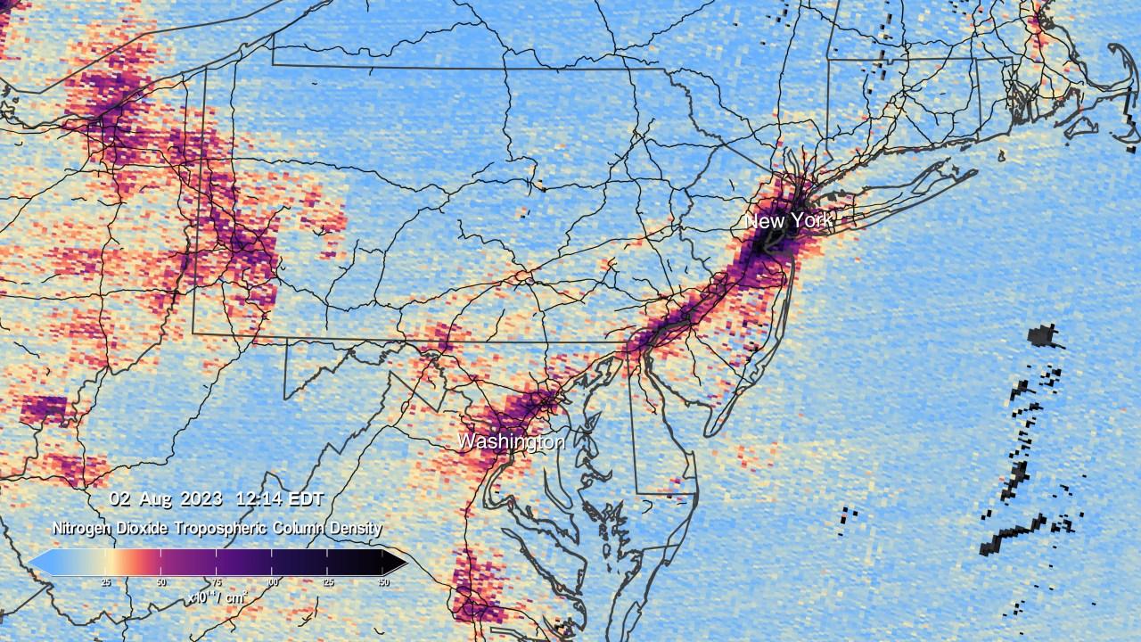
NASA has released the first image captured by the Tropospheric Emissions: Monitoring of Pollution satellite (TEMPO), which is designed to monitor pollution levels. The image shows nitrogen dioxide density, with higher concentrations in cities like Pittsburgh and Philadelphia. TEMPO measures sunlight reflected off Earth's surface and atmosphere to determine the concentrations of various gases, including nitrogen dioxide. It is expected to provide valuable data for studying air pollution in North America.
Topics:sciencescience-and-technology#air-pollution#nasa#pennsylvania#satellite#science-and-technology#tempo
Want the full story? Read the original reporting
Read on ABC27