
"Satellite Reveals Antarctic Ice Details"
TL;DR
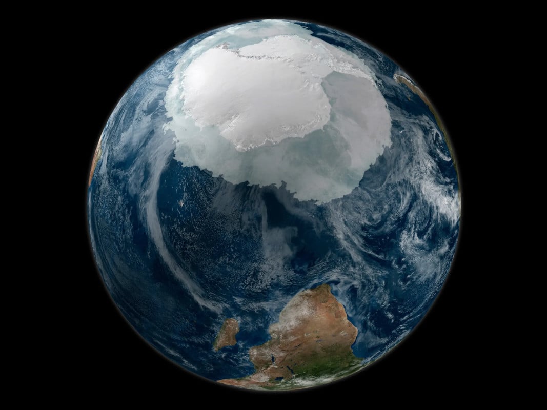
The Chinese satellite Fengyun-3E is using innovative radar technology to monitor Antarctic sea ice and gather data on wind patterns, distinguishing between new and old ice formations. Placed in an early morning orbit, it can capture detailed information using long shadows cast by the sun. The satellite's data will aid in improving climate models and understanding sea ice behavior, with potential applications beyond academia, as weather satellites often broadcast unencrypted data accessible to anyone.
Topics:sciencescience-and-technology#antarctic#climate-change#satellite#science-and-technology#sea-ice#weather-data
Want the full story? Read the original reporting
Read on Hackaday