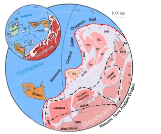
Ancient Gondwana: The 80% Earth-Land That Sparked the Cambrian Explosion
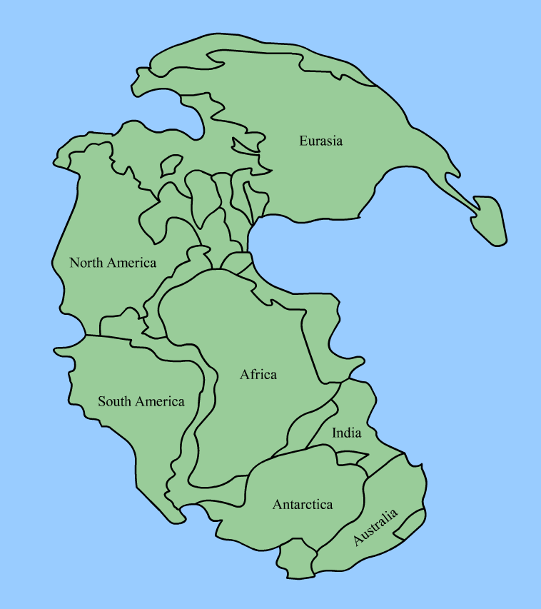
New isotopic mapping of rocks shows Gondwana formed a massive supercontinent that covered about 80% of Earth's land between 550 and 500 million years ago, a configuration linked to the Cambrian explosion and the rise of complex life, highlighting how deep-Earth processes helped drive major biodiversity upheavals.