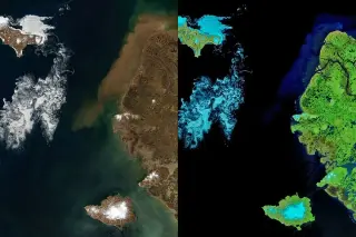
NASA’s Earth Observatory uses MODIS imagery from NASA’s Terra satellite to show the Bering Sea thaw as sea ice fragments break apart and sediment-laden coastal waters appear around Alaska’s Yukon Delta, signaling the approach of summer.
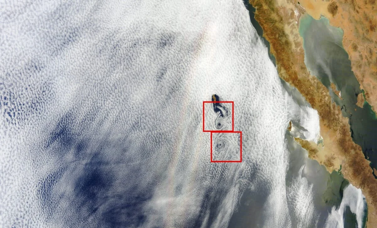
A 2012 NASA Terra satellite image over the Pacific captures a rare optical display called a glory that appears as two parallel rainbow-like streaks due to the satellite's swath-scanning, alongside a line of Von Kármán vortices shed by Guadalupe Island’s volcanic ridge; the two phenomena are unrelated but coincident in the frame, illustrating unusual atmospheric physics. The piece also notes a recent report of a possible extrasolar glory on exoplanet WASP-76 b.
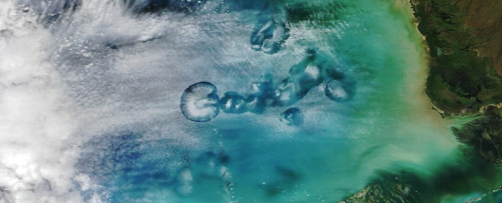
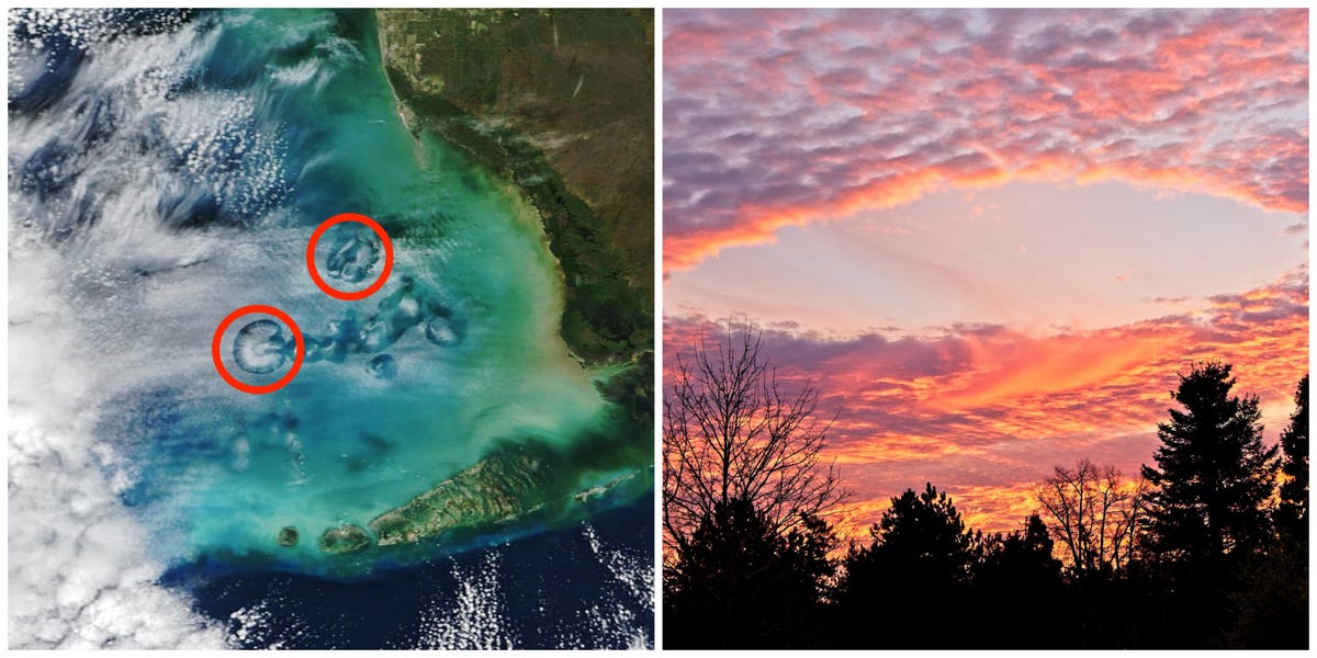
NASA's Terra satellite captured a photo of cavum clouds, also known as hole-punch clouds or fallstreak holes, over the Gulf of Mexico. These unusual cloud formations are created when airplanes pass through mid-level altocumulus clouds, leaving behind large circular gaps. Researchers have been studying this phenomenon since the 1940s, and recent studies have provided explanations for their formation. The Terra satellite's data helps researchers map the impact of human activity and natural disasters on Earth's atmosphere and climate change.
NASA's Terra satellite captured a photo of ring-shaped cavum clouds over the Gulf of Mexico, a phenomenon caused by airplanes passing through mid-level altocumulus clouds. These clouds, also known as hole-punch clouds or fallstreak holes, have been mistaken for unusual phenomena due to their distinct appearance. Researchers have found that any type of plane can produce cavum clouds, with over 1,000 flights per day from Miami International Airport contributing to their formation near the west coast of Florida. The Terra satellite's data is used to study changes in Earth's atmosphere and the impact of human activity and natural disasters.