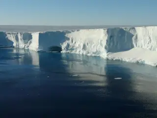
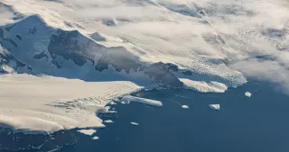
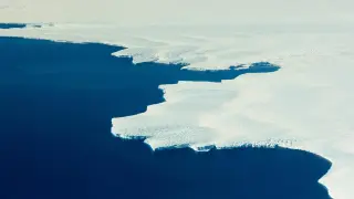
A new study in Nature reveals that East Antarctica gained 695 billion tonnes of ice between 2021 and 2023, the largest increase recorded by GRACE satellites. This temporary surge, driven by tropical ocean warming and atmospheric rivers, does not reverse long-term ice loss trends.
A warming pool of tropical ocean water (where the tropical Pacific meets the Indian Ocean) drove a Rossby wave pattern and more atmospheric rivers to East Antarctica from 2021–2023, causing unusually heavy snowfall that added about 695 billion tons of ice—the largest ice-mass gain on record and temporarily offsetting ice loss. The study found the warming of the tropical warm pool was the direct driver, with anthropogenic influence contributing about 9% of the snowfall anomaly, suggesting natural variability plays a major role. Such multi-year warm-pool events occur roughly once per decade, and researchers warn a similar snowfall could recur around 2031–33, underscoring the complex dynamics of Antarctic ice in a warming world.
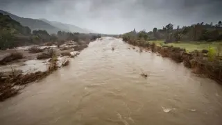
A new study identifies a climate teleconnection in which abnormally warm temperatures on the Tibetan Plateau in late 2016 and early 2023 intensified atmospheric rivers and triggered record-setting rainfall across California and nearby Western states in 2017 and 2023, causing about $6.6 billion in damage and at least nine deaths. The link, documented through observations and modeling, could improve forecasts and warnings for West Coast weather, although such events have historically been hard to predict with ocean-focused predictors.
Researchers say sustained warming in the tropical warm pool (2021–23) set off a Rossby wave train and a north–south dipole that funneled moisture to East Antarctica, spawning atmospheric rivers and heavy snowfall that added about 695 billion tons to the ice sheet—the largest mass gain seen by GRACE. The effect is temporary and does not alter Antarctica's long-term ice loss; anthropogenic influence accounts for about 9% of the snowfall anomaly.
A tropical-warm-pool–driven circulation change temporarily boosted snowfall in East Antarctica, adding a record 695 billion tons of ice from 2021–2023—the largest gain detected by GRACE—yet it does not reverse the continent’s long-term ice loss (about 140.5 billion tons per year), highlighting a recurring tropical linkage that can influence Antarctic mass balance for several years.
A Nature Communications study finds that human-caused warming is slowing the Atlantic Meridional Overturning Circulation (AMOC), with a possible near-future collapse. Using NASA data and climate models, researchers project that a weaker AMOC would alter atmospheric moisture and storms globally, intensifying North American—especially California—storms by the end of the century while reducing them in Greenland and the Arctic. Atmospheric rivers, the moisture-dense air streams that drive much of California’s rainfall, could become more frequent and wetter, increasing flood risk in some regions and changing water resources; ARs may also transport more moisture to the Southern Hemisphere and accelerate Antarctic ice melt. The greatest increases in AR activity are expected along North America’s West Coast, from Baja California to Alaska, while Arctic regions could see fewer ARs as the jet stream shifts. However, the outcome depends on future greenhouse gas emissions, making the scenario not guaranteed. The research highlights how a single major ocean current can ripple across global climate patterns and emphasizes potential adaptation, such as restoring landscapes to capture more water in drought-prone areas.
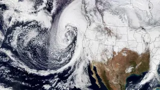
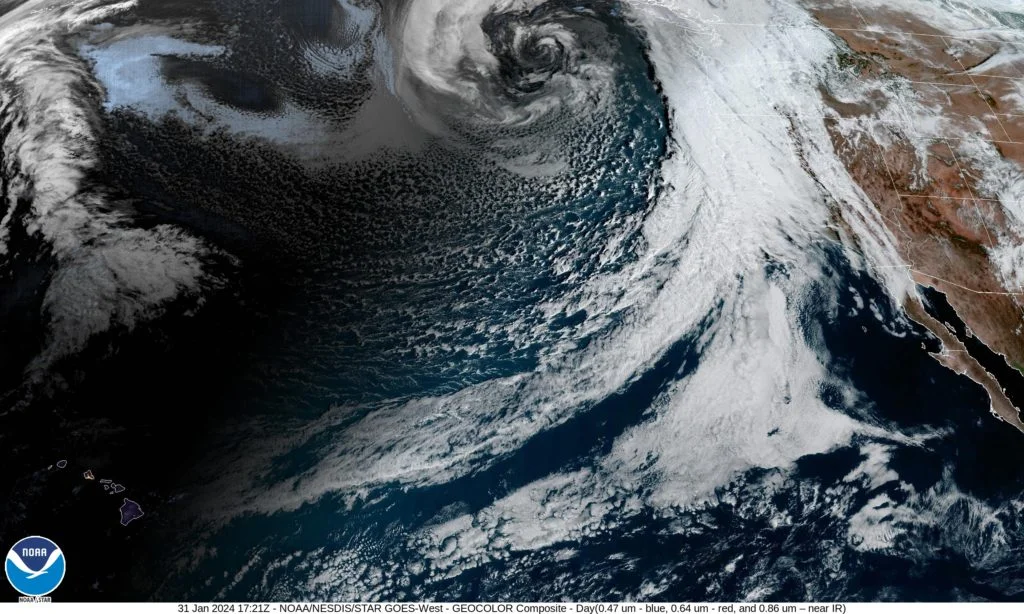
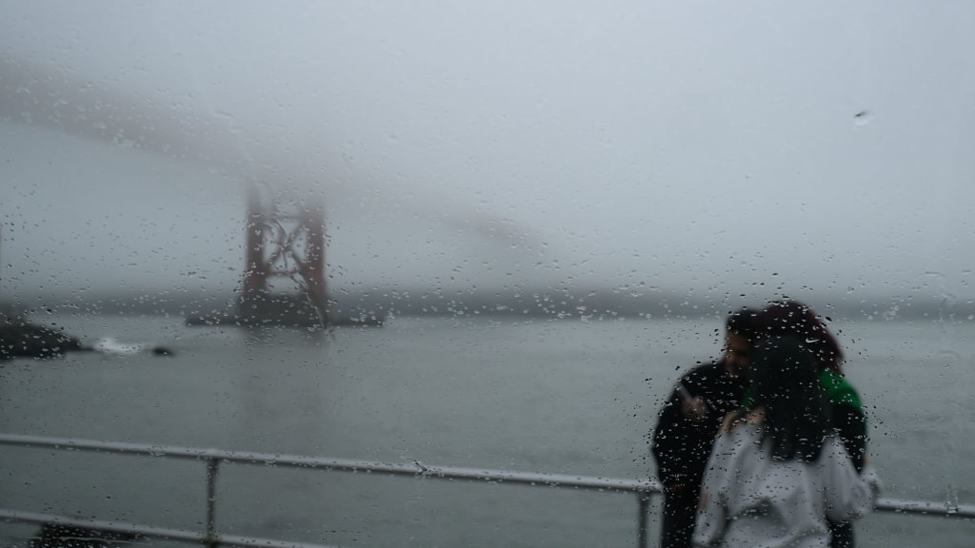
A series of heavy storms will drench the parched U.S. West with widespread rain and mountain snow, starting this weekend in Northern California and parts of Oregon, as a strong low-pressure system moves ashore around the San Francisco Bay Area by Monday, bringing gusty winds and broad precipitation.
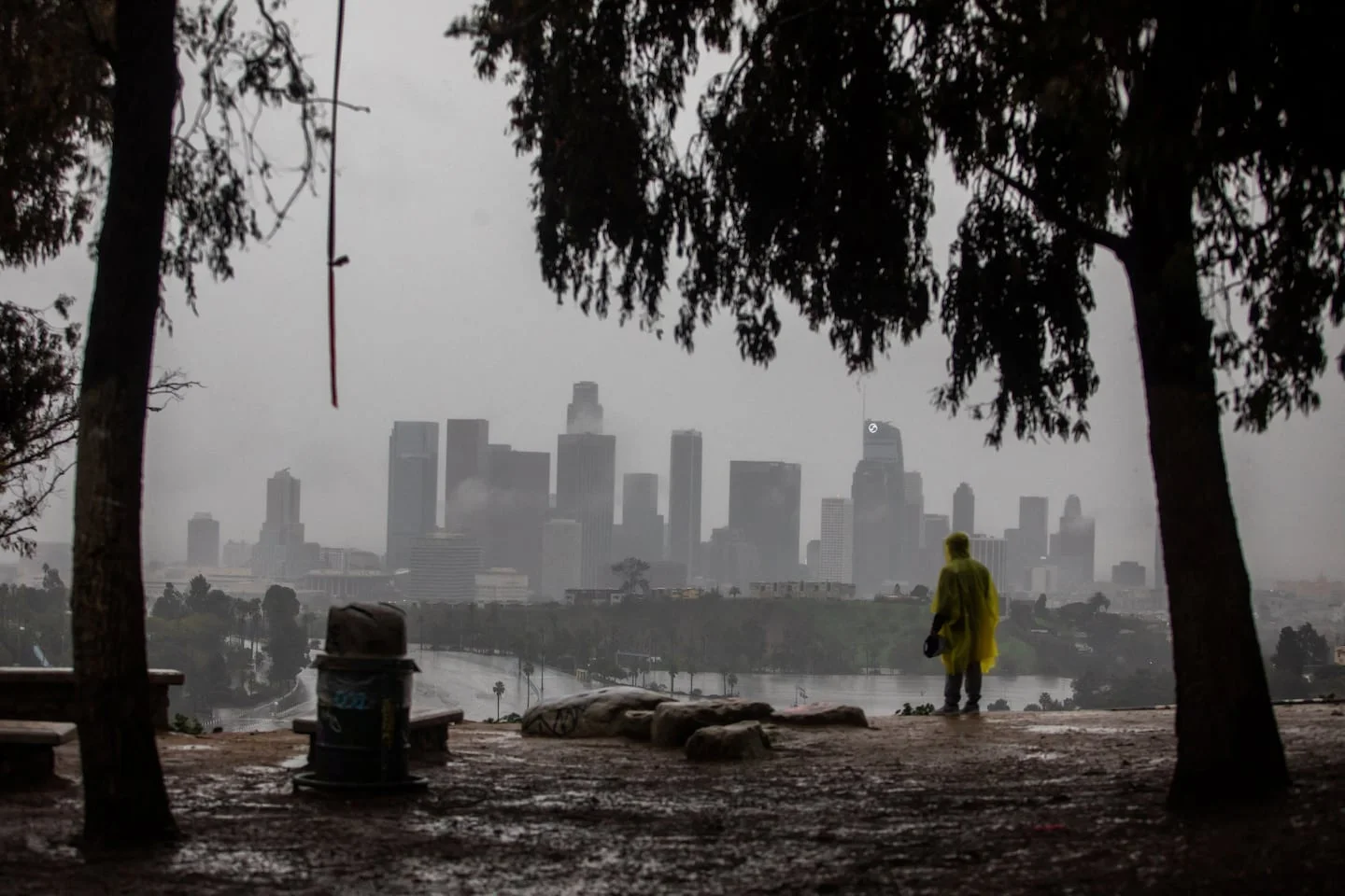
California has experienced a rare period of no abnormal dryness for the first time in 25 years, thanks to recent heavy rains and atmospheric rivers, reducing wildfire risk and water supply concerns, though climate change is expected to cause more extreme weather swings in the future.
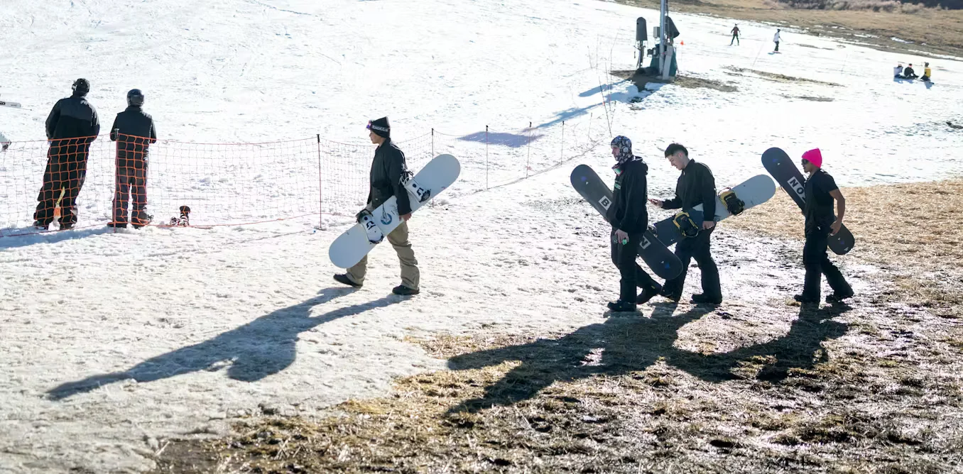
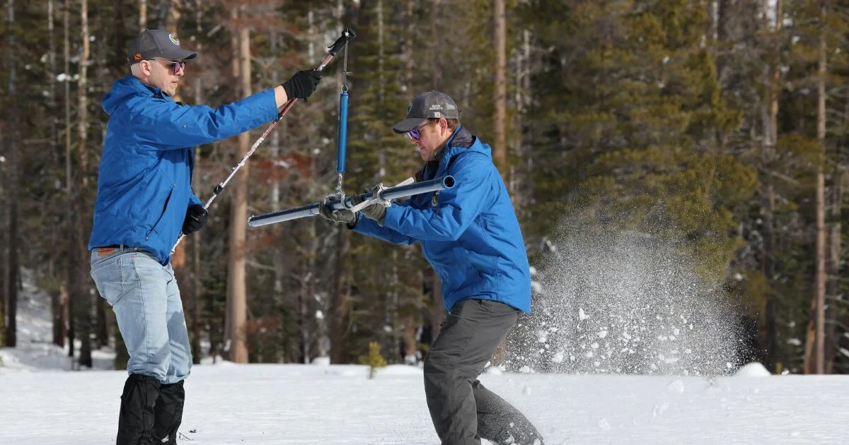
The western US is experiencing a snow drought in 2026, worsened by atmospheric river storms that caused heavy rainfall and melting of snowpack, which is critical for regional water supplies. Warmer temperatures have led to more rain instead of snow, exacerbating water shortages and increasing risks of flooding and landslides. Scientists are working to improve predictions and understand storm impacts to better manage water resources amid climate change.
California's snowpack is currently below average at 71%, despite recent storms that temporarily improved conditions. The snowpack, crucial for the state's water supply, remains a concern due to variability influenced by atmospheric rivers and climate change, with the coming months critical for recovery. Reservoir levels are above normal, but the overall season's outcome remains uncertain, emphasizing the importance of continued storm activity.
Atmospheric rivers are large plumes of moisture that form in tropical regions and are carried by winds to other areas, especially impacting the U.S. West Coast by causing heavy rain, snow, and potential flooding, with their size and frequency increasing due to climate change.
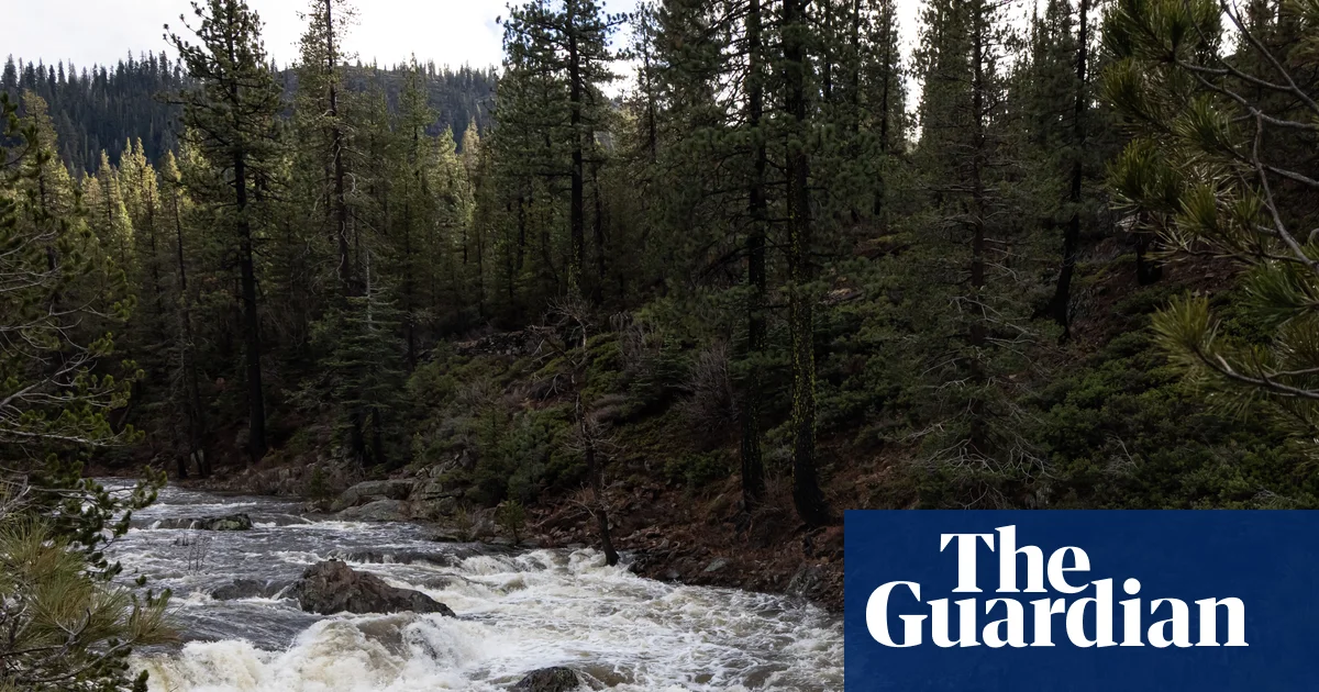
Heavy rain and flash flooding in northern California caused water rescues and at least one death, with significant rainfall in Redding and other areas, driven by atmospheric rivers bringing moisture from the tropics.
California faces ongoing flood risks due to heavy rainfall and atmospheric rivers, with potential record-breaking rain and snow, while other regions like Zimbabwe and Australia experience severe weather variations during the festive period.
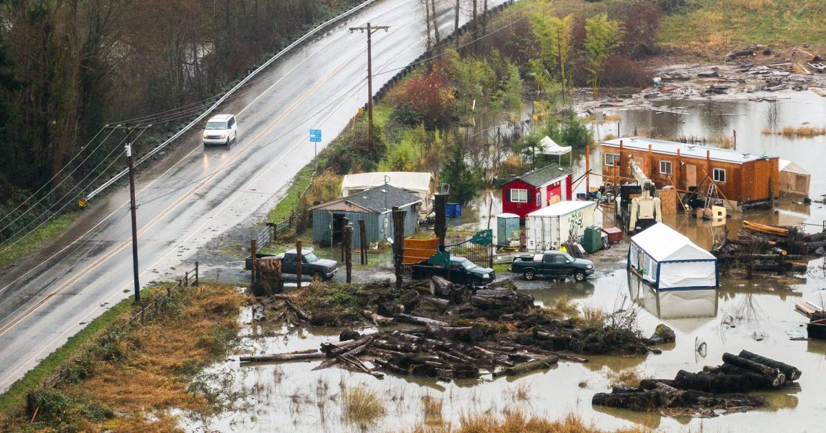
Washington state is experiencing infrastructure failures, including levee breaches and highway closures, due to persistent atmospheric river storms, with one fatality reported and ongoing flood risks exacerbated by climate change and human modifications to rivers.
Two atmospheric river storm systems are bringing significant rain and snow to the Pacific Northwest and Northern California, with the first storm already delivering 1 to 2 inches of rain west of the Cascade Mountains. These storms, characterized by concentrated moisture, are expected to cause heavy flooding and mountain snow in the region.