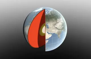
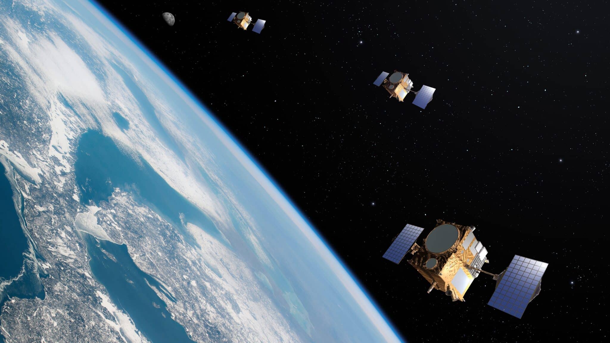
A NASA-led study refines measurements of Earth's center of mass, finding its annual wobble is about half of previous estimates—only a few millimeters—driven by seasonal transfers of water, ice, and air, using LAGEOS lasers and GRACE-FO data to improve reference systems for GPS and navigation.
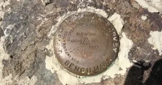
The National Geodetic Survey is retiring NAD83 (horizontal) and NAVD88 (vertical) and replacing them with four plate-fixed terrestrial reference frames plus a new geopotential datum, tying coordinates to GEOID2022 and the ITRF2020. As a result, every published latitude, longitude and height could shift by up to about four meters depending on location and epoch, even though the actual ground stays fixed. Submissions to the old system end January 13, 2027, and control moves off the ground into orbit, with epoch 2020.00 referenced in the new system. Old survey marks remain in records but won’t serve as primary geodetic control, and downstream products like flood maps will be affected. The transition will require new software and may prompt state-law updates as federal agencies align with international standards and satellite positioning.
During Bolivia’s rainy season, Salar de Uyuni floods into a 10,000-square-kilometer mirror that makes sky indistinguishable from ground, a natural feature prized by scientists for its extreme flatness and used to calibrate satellite sensors. centimeter-level geodetic measurements show the surface is almost perfectly level (after removing geoid effects), with a history of centimeter-scale elevation accuracy under controlled surveys. The seasonal flooding, which dissolves high spots and redeposits salt in low spots, helps keep the surface within about a meter of level, while beneath lies lithium-rich brine and growing industrial activity. The paradox is that the mirror’s usefulness for calibration can also complicate some laser measurements when the water coverage is at its peak.
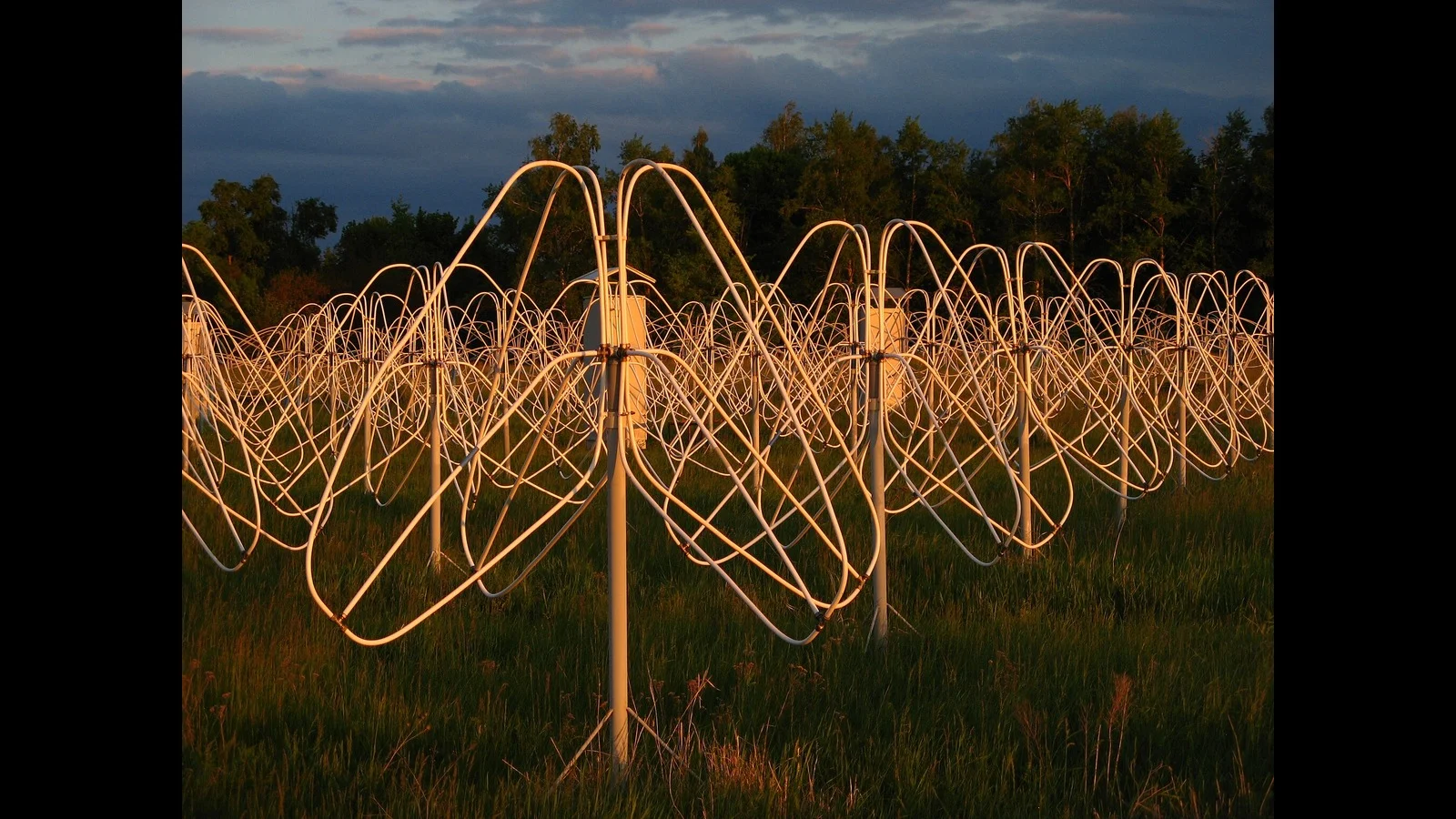
Scientists rely on tracking distant black holes via radio telescopes to precisely measure Earth's position for satellite navigation and Earth observation, but increasing human-made radio signals from wifi, mobile phones, and satellites are congesting the radio spectrum, threatening these critical measurements. To address this, international cooperation is needed to allocate more radio spectrum lanes and establish radio quiet zones, ensuring the continued accuracy of geodetic measurements essential for modern technology and infrastructure.
Scientists rely on radio signals from distant black holes to precisely measure Earth's position for satellite navigation and observation, but increasing human-made radio signals from Wi-Fi, mobile phones, and satellites are causing interference, threatening these essential measurements. To address this, international cooperation is needed to allocate more radio spectrum lanes and establish radio quiet zones, ensuring the continued accuracy of geodetic measurements and satellite services.
Scientists rely on tracking distant black holes via radio telescopes to precisely measure Earth's position for satellite navigation and other services, but increasing human-made radio signals from wifi and mobile phones are obstructing these measurements, prompting calls for better spectrum management and radio quiet zones.
A recent study reveals that parts of South Africa are experiencing land uplift due to drought-induced water loss, which reduces gravitational pressure on the Earth's crust, allowing it to rebound. This widespread vertical movement, tracked via GPS, highlights the significant impact of water depletion on geophysical processes and offers a potential new method for drought detection and climate monitoring.
The Earth appears flat to us because we are small creatures living on a vast sphere, making it difficult to perceive its curvature from the ground. Our eyes can only see a limited horizon, about 3 miles, which isn't enough to notice the Earth's roundness. To see the curvature, one must be at a high altitude, like in a plane or from space. Additionally, Earth is not a perfect sphere but an oblate spheroid, slightly wider at the equator due to its rotation.
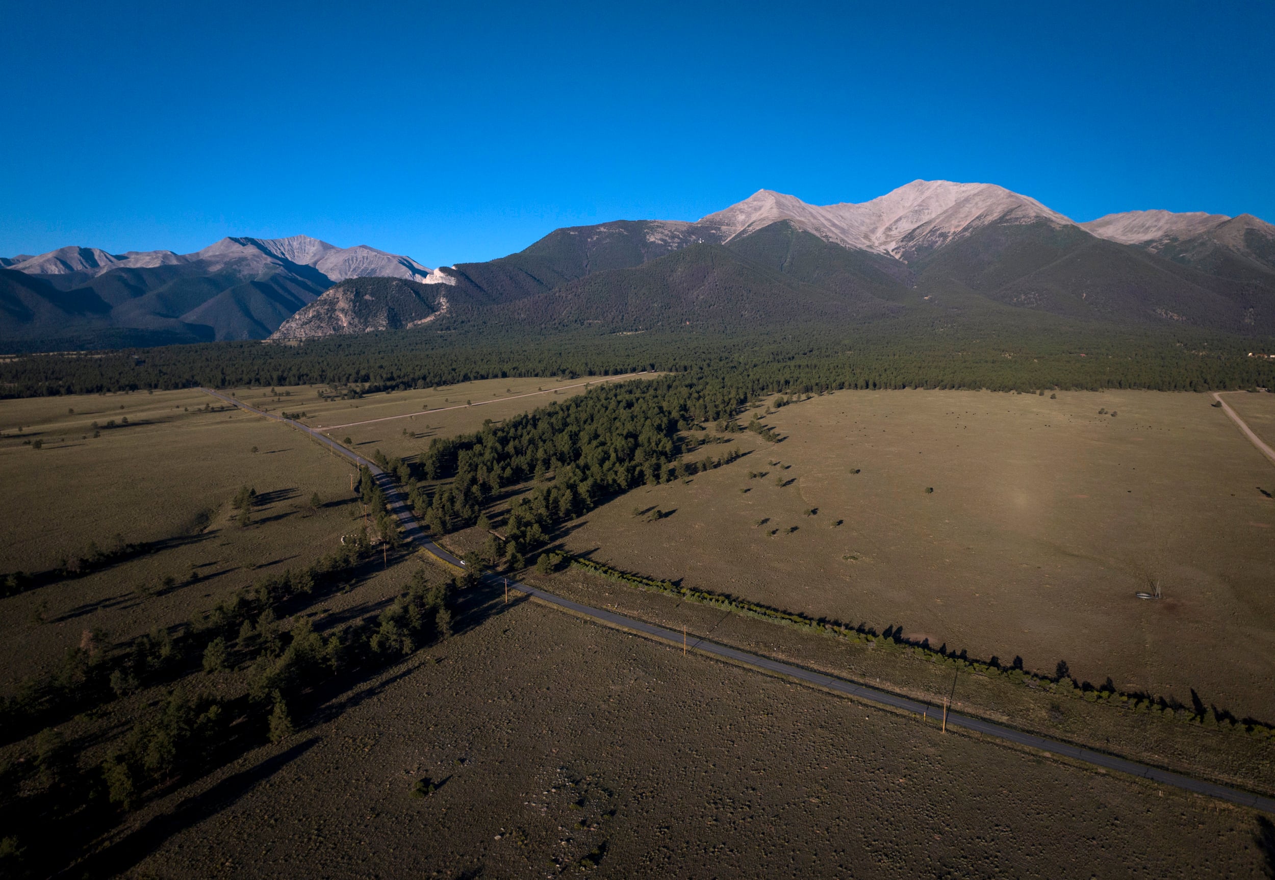
The National Oceanic and Atmospheric Administration (NOAA) has remeasured Colorado's 14ers, resulting in a 2-foot reduction in their heights due to more precise GPS measurements and a better understanding of gravity and the Earth's curvature. Some peaks have seen changes in their rankings, with Sunshine Peak getting a promotion and Huron Peak being temporarily humbled. The updated measurements have implications for various fields and will require adjustments to town welcome-sign elevations, but they ensure that all fourteeners maintain their coveted status of being over 14,000 feet.