US Overhauls Geodetic Backbone, Rebaselining Coordinates by Up to Four Meters
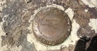
The National Geodetic Survey is retiring NAD83 (horizontal) and NAVD88 (vertical) and replacing them with four plate-fixed terrestrial reference frames plus a new geopotential datum, tying coordinates to GEOID2022 and the ITRF2020. As a result, every published latitude, longitude and height could shift by up to about four meters depending on location and epoch, even though the actual ground stays fixed. Submissions to the old system end January 13, 2027, and control moves off the ground into orbit, with epoch 2020.00 referenced in the new system. Old survey marks remain in records but won’t serve as primary geodetic control, and downstream products like flood maps will be affected. The transition will require new software and may prompt state-law updates as federal agencies align with international standards and satellite positioning.