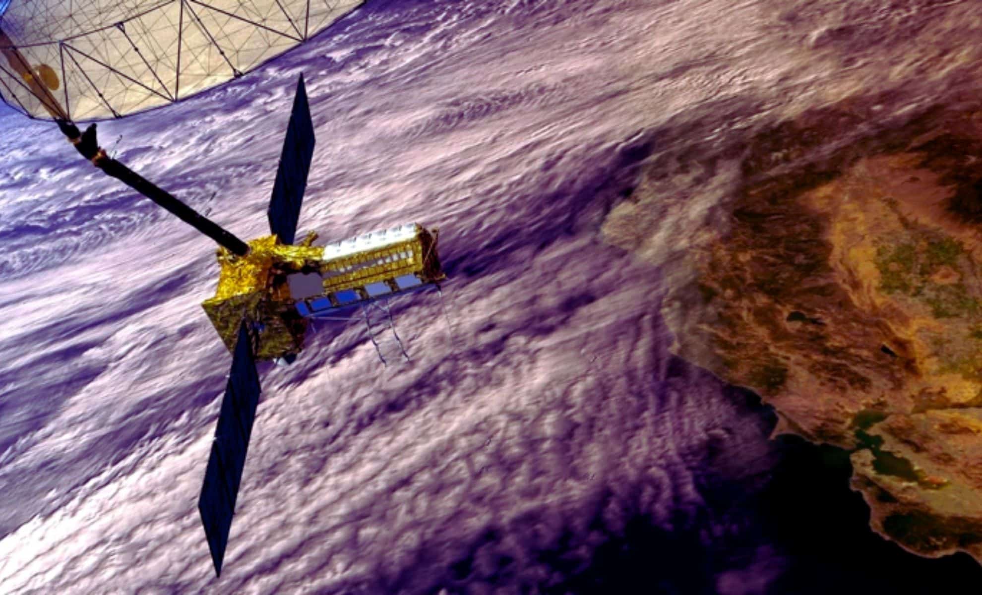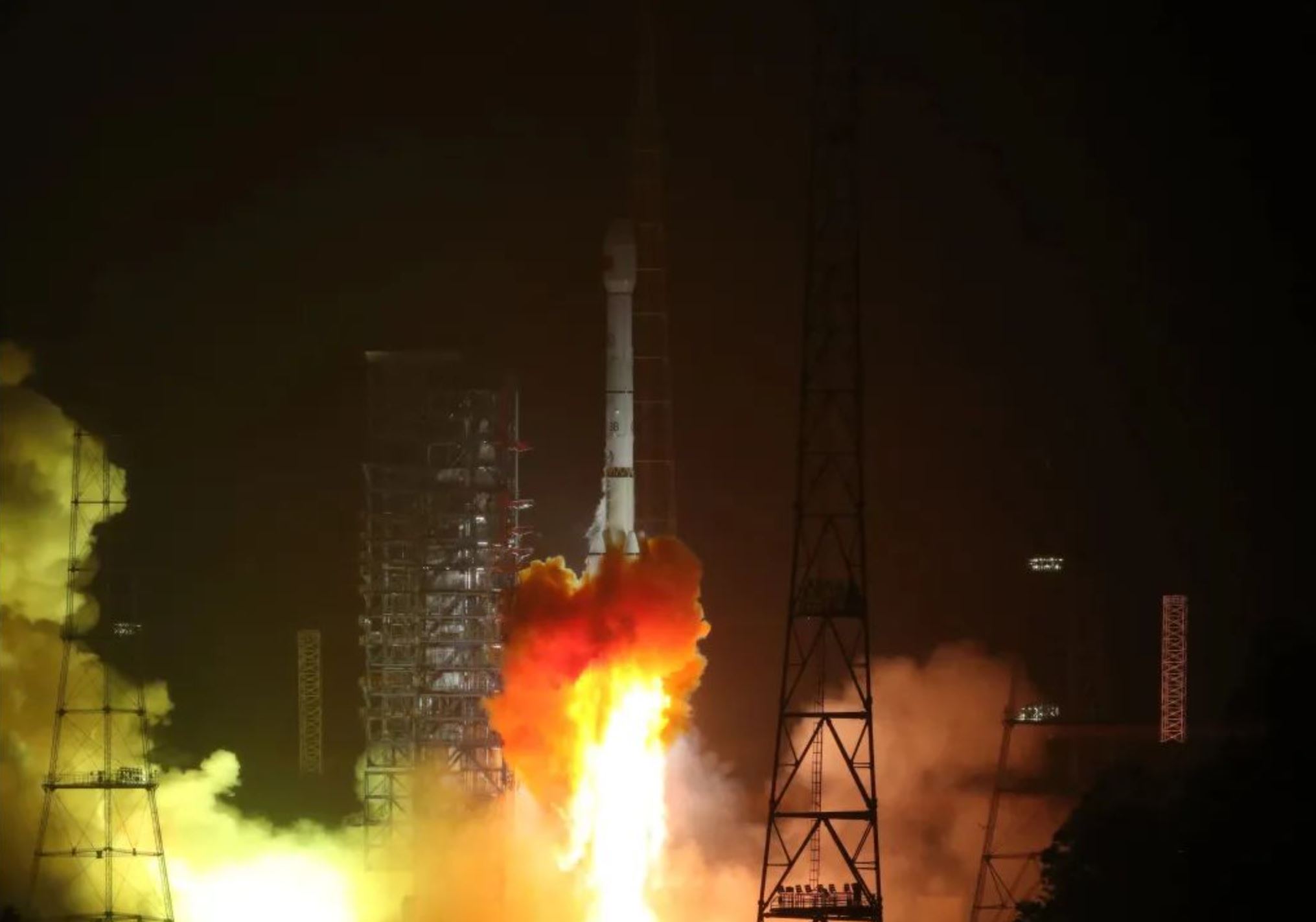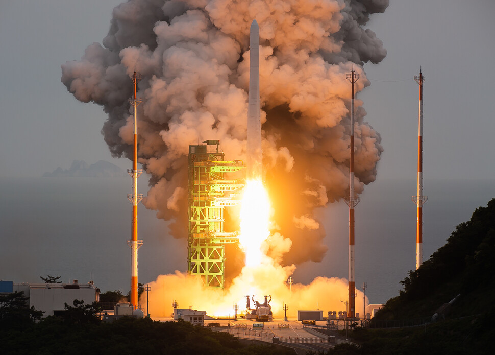
Satellites map global bridge vulnerabilities
An international study of 744 long-span bridges shows North America and Africa have the riskiest infrastructure, with many spans dating from the 1960s; researchers say space-based radar can detect millimetre-scale deformations, offering a cost-effective, global monitoring method that could flag problems earlier and reduce the number of high-risk bridges—especially as satellites like Nisar enable near-real-time tracking.