Alaska’s Tracy Arm Landslide Sparks a 481-Meter Tsunami, Raising Climate-Hazard Warnings
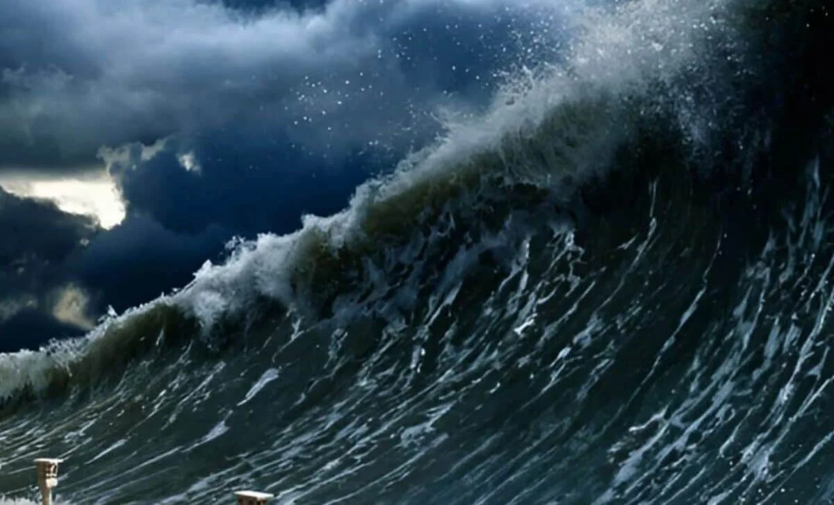
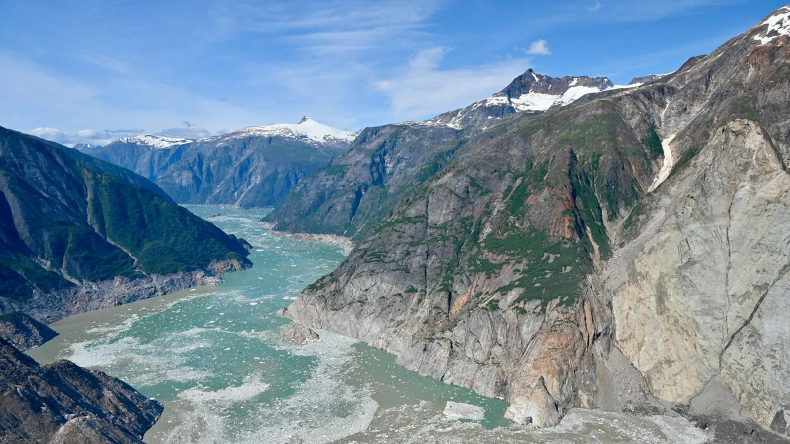
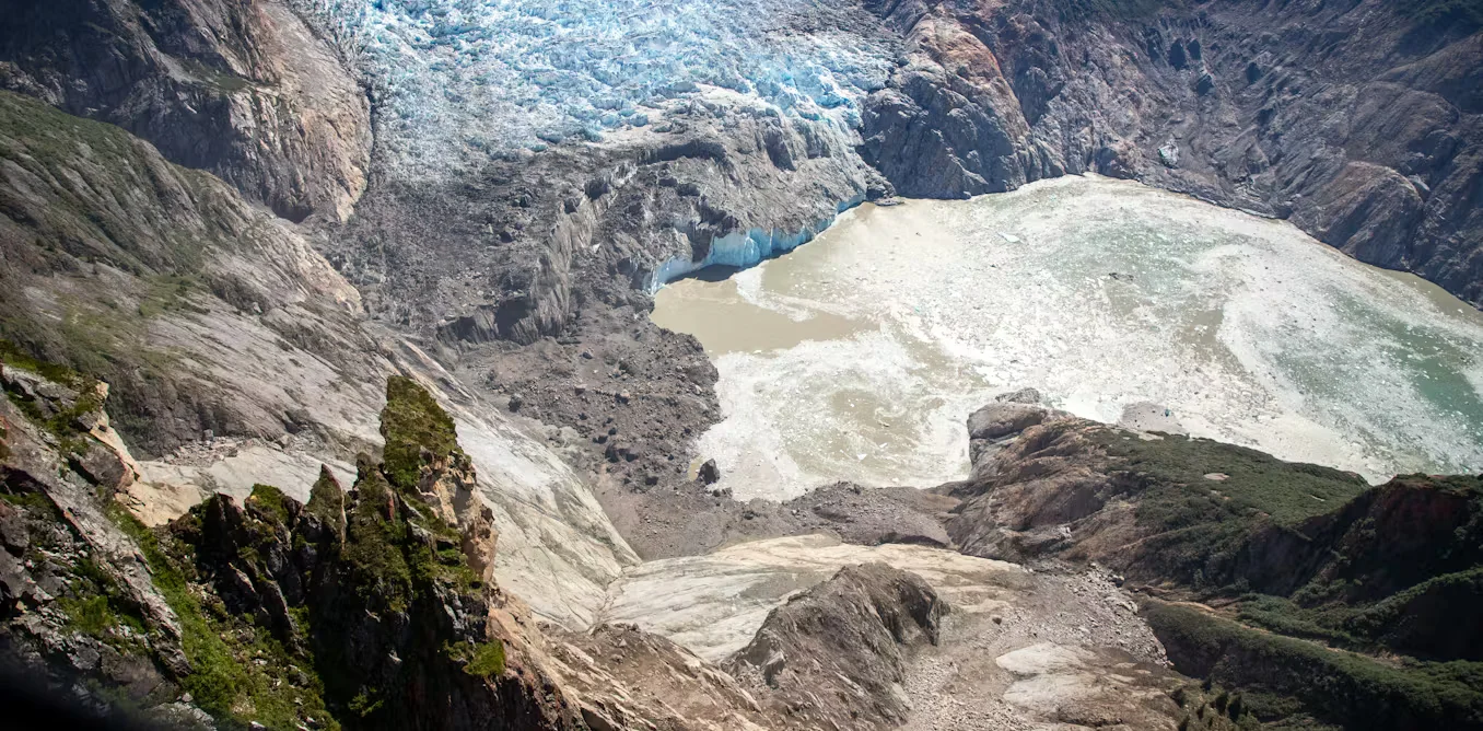
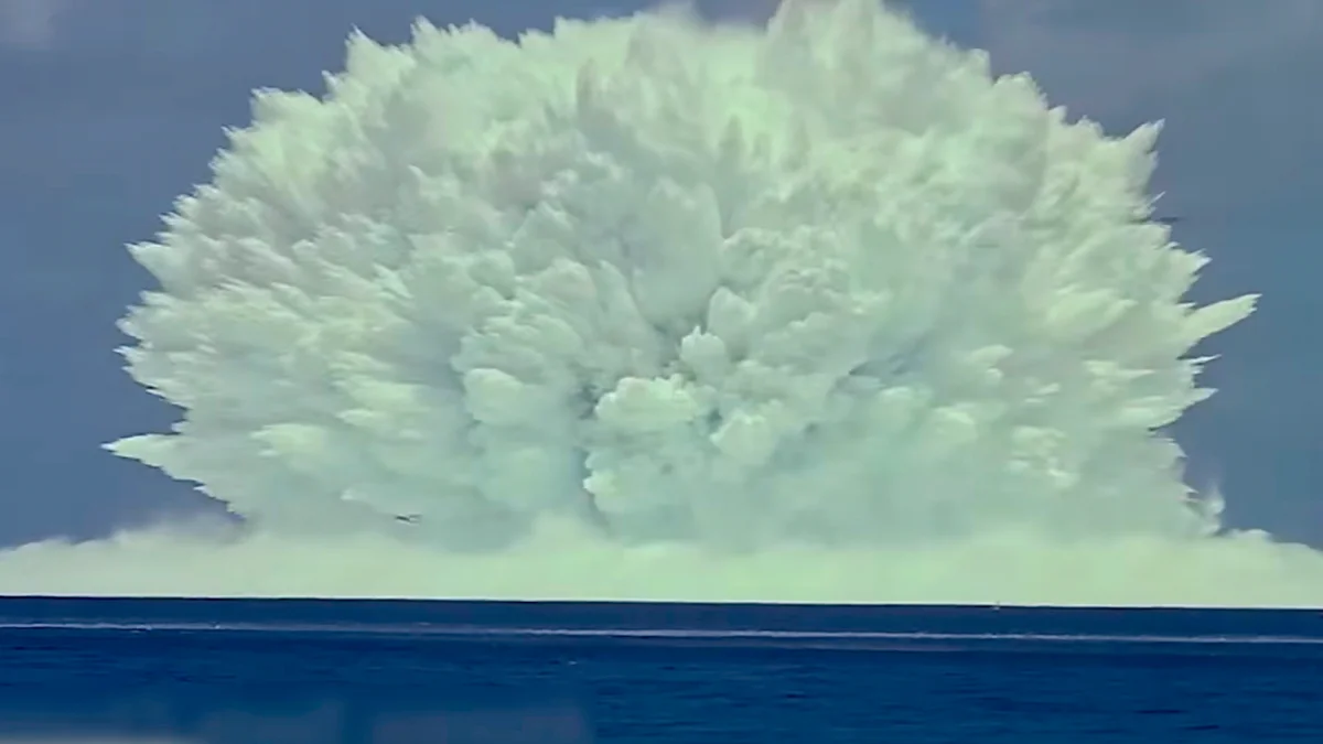
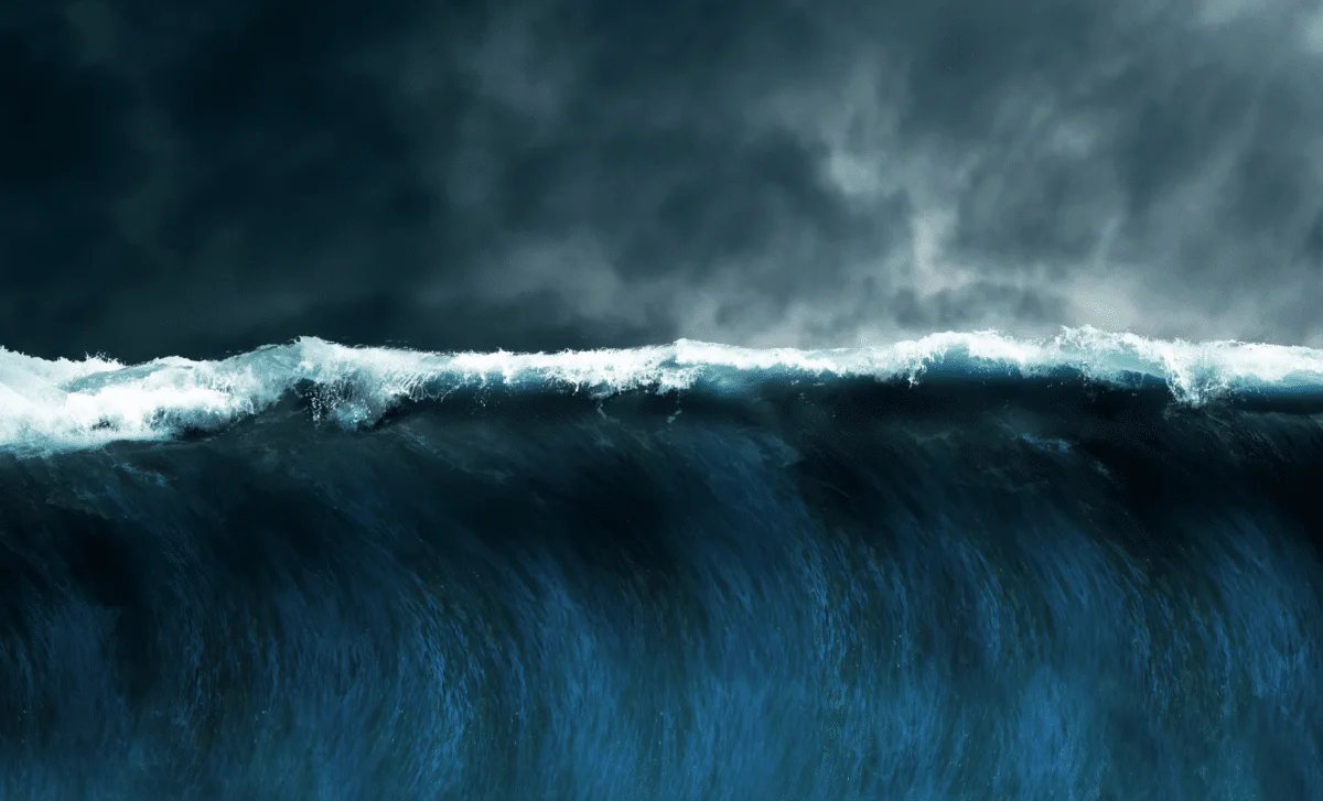
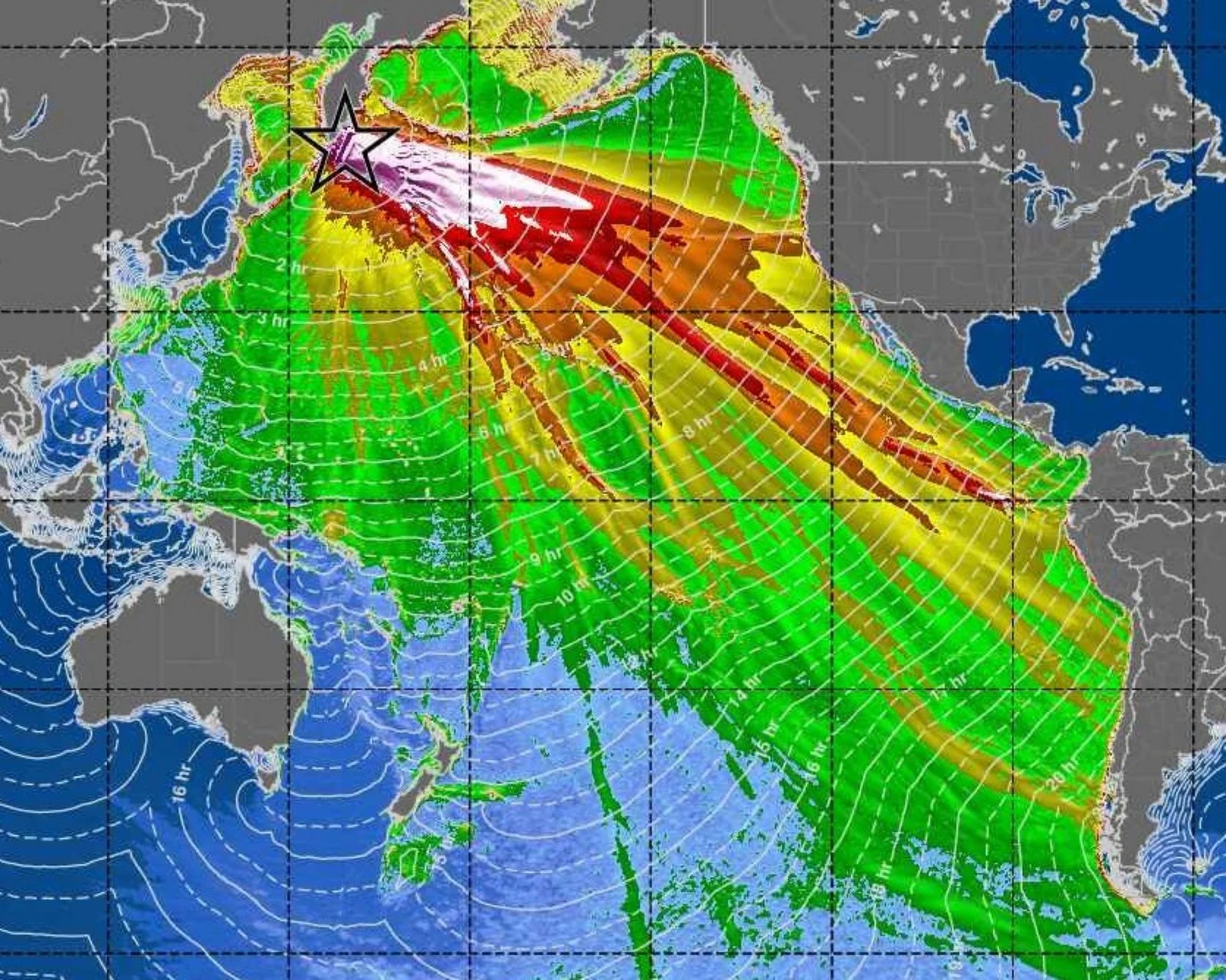
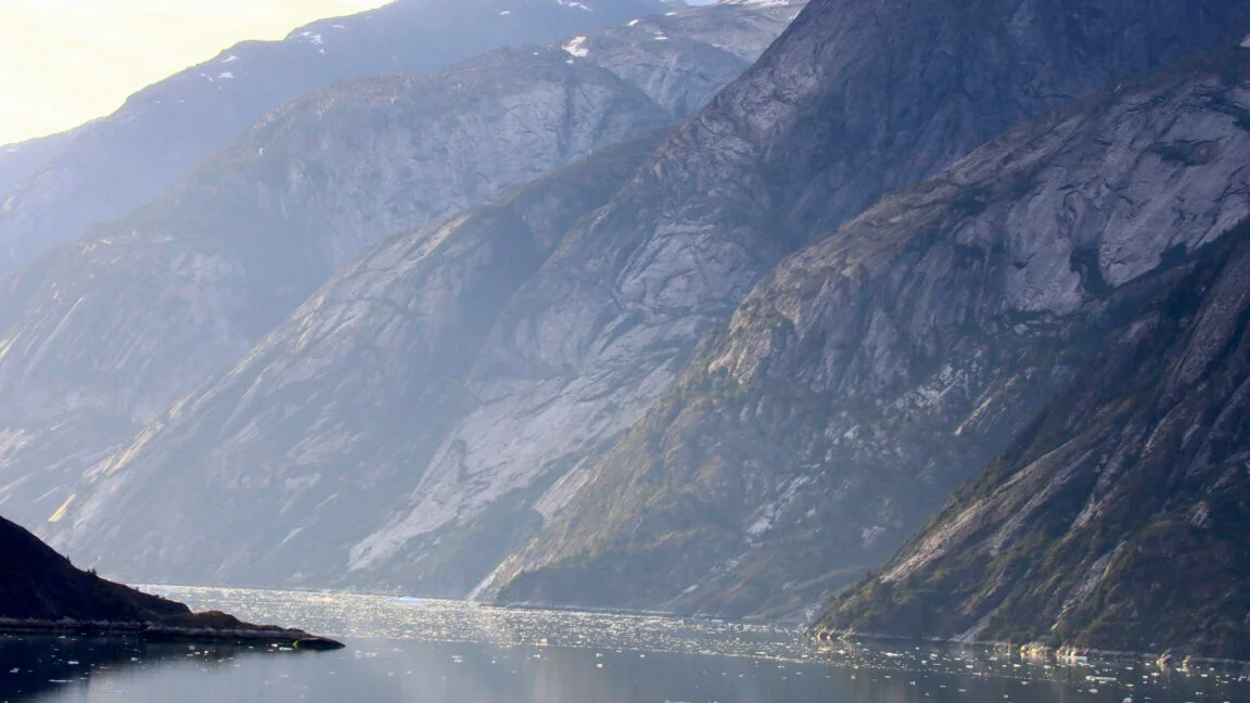
Scientists reconstruct the August 10, 2025 Tracy Arm event: a 63.5‑million‑cubic‑meter rockslide into Alaska’s narrow fjord generated a 100‑meter breaking wave that climbed to 481 meters on the opposite shore, the second-highest tsunami on record. The extreme runup was amplified by the fjord’s confinement and linked to climate‑driven glacier retreat thinning the ice that once stabilized the slope; microseismic signals days earlier may offer precursors. No injuries occurred thanks to early‑morning timing, but rising cruise-ship traffic underscores the need for early warning systems for similar hazards.