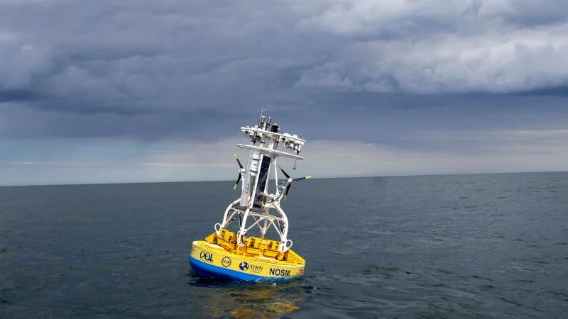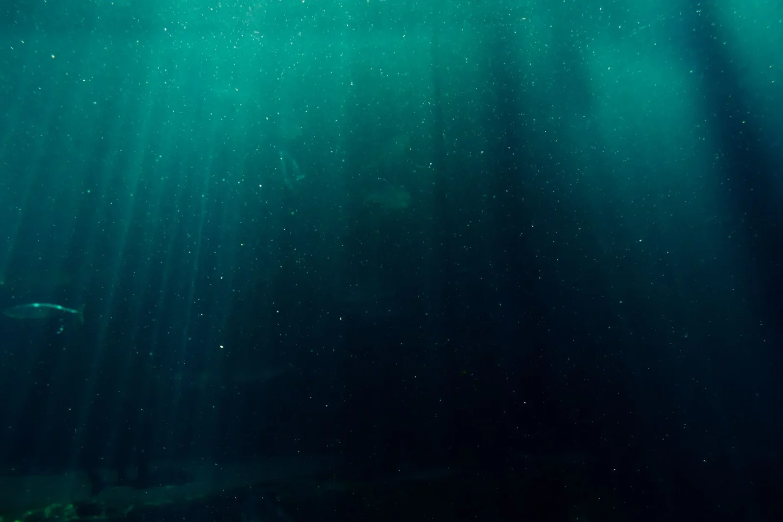
Seven Decades of Dives Yet Leaves Most Deep Seafloor Unseen
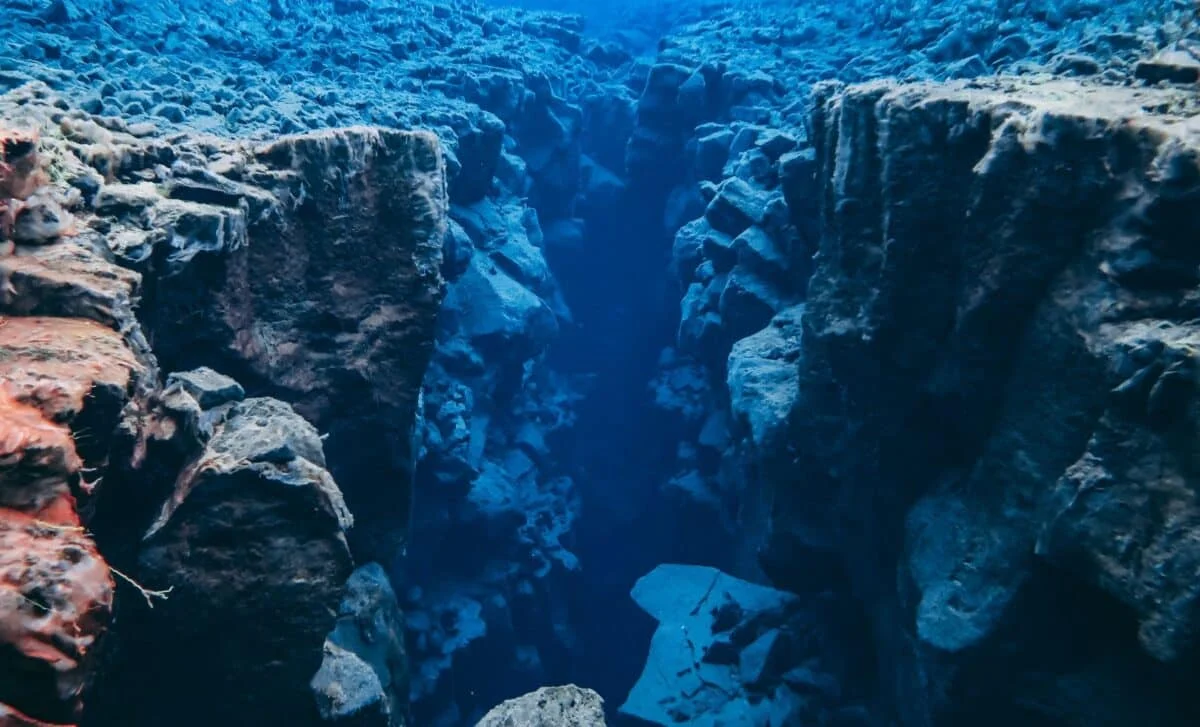
A Science Advances study compiling 43,681 submersible dives since 1958 finds humans have visually observed less than 0.001% of the deep seafloor, roughly the size of Rhode Island, with observations heavily concentrated near the US, Japan and New Zealand and most regions largely unsampled. The research emphasizes that close visual records complement maps but are uneven and sparse, highlighting the need for cheaper vehicles, shared archives, more open industrial imagery, and broader international participation to establish robust ecological baselines for biodiversity, climate, and resource decisions in the deep ocean.