Greenland fjord seiche finally confirms the source of the 2023 planetary hum
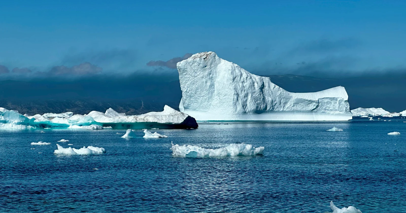
Global seismometers detected a 90-second, nine-day oscillation in September 2023 that was later traced to a standing water wave (seiche) inside East Greenland’s Dickson Fjord, triggered by a landslide that spawned a ~200 m mega-tsunami. After initial modelling in 2024, a 2025 Oxford-led study used SWOT/KaRIn satellite data to map cross-channel water-height differences of up to ~2 metres and linked them to distant seismic signals, providing the first direct observational confirmation of the seiche mechanism and underscoring how fjord geometry and satellite monitoring can reveal planetary-scale effects from local events.