Tag

Geoscience

All articles tagged with #geoscience

In situ observation captures a rapid seafloor-spreading burst at the Southeast Indian Ridge
geoscience3 days ago

In situ observation captures a rapid seafloor-spreading burst at the Southeast Indian Ridge

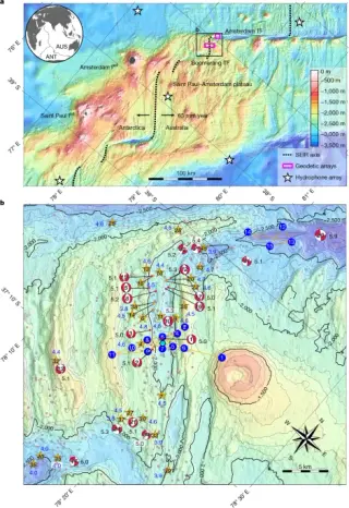
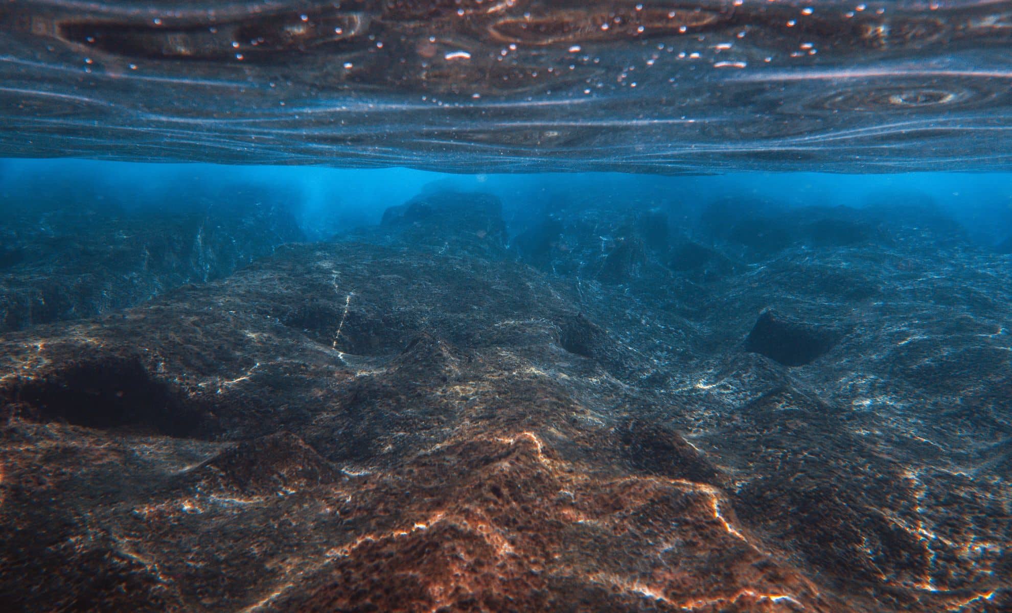
An autonomous seismogeodetic array on SEIR’s segment I1 captured a rapid seafloor spreading event beginning 26 April 2024, driven by a migrating swarm of extensional earthquakes that propelled a southeast- to northwest-propagating dyke from a deflating axial magma reservoir. This produced about 4 meters of subsidence and over 1 meter of horizontal extension in the axial valley, followed by the eruption of roughly 160 million cubic meters of lava on the seafloor over ~16 days, while triggering seismic and aseismic slip on valley-bounding normal faults and the adjacent transform fault. The multi-sensor data (hydrophones, acoustic ranging, bottom-pressure recorder, and swath bathymetry) suggest large-scale aseismic magmatic slip could be the primary mechanism driving MOR fault displacement, addressing long-standing questions about short-timescale MOR dynamics. 2D elastic-dislocation modeling of sill, dyke, and fault geometries supported the observed displacements.

Hidden Antarctic Fan Megabasin Reshapes Ice Flow
science1 month ago

Hidden Antarctic Fan Megabasin Reshapes Ice Flow

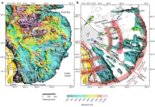
An international team mapped a continent-wide, two-mile-deep network of basins under East Antarctica—now called the East Antarctic Fan-shaped Basin Province—linking Wilkes and Aurora basins with Lake Vostok. Using gravity measurements, magnetic data, and subglacial topography, they describe a fan-shaped megabasin formed by ancient crustal spreading before Gondwana’s breakup, which influences how ice moves over the bed and could affect projections of Antarctica’s response to climate change.

Earth gravity bends light to boost remote sensing
science2 months ago

Earth gravity bends light to boost remote sensing

Australian physicist Enbang Li has built a compact, three‑foot device that uses gravity to bend light via spiraled fiber-optic coils, detecting tiny picosecond time delays to sense gravitational changes. The approach could enable high‑precision gravity sensing for mapping underground features, monitoring magma, and improving sensing on moving platforms like planes and submarines. While still in early lab stages, the work suggests photons can interact with Earth’s gravitational field in new ways and may prompt fresh thinking about light’s behavior, with findings published in Scientific Reports.

Antarctica’s Blood Falls Finally Explained: Pressure-Driven Brine and Iron From Ancient Microbes
science4 months ago

Antarctica’s Blood Falls Finally Explained: Pressure-Driven Brine and Iron From Ancient Microbes

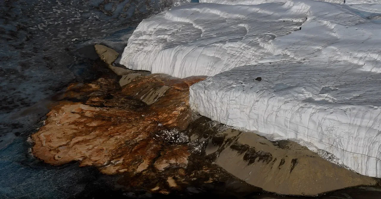
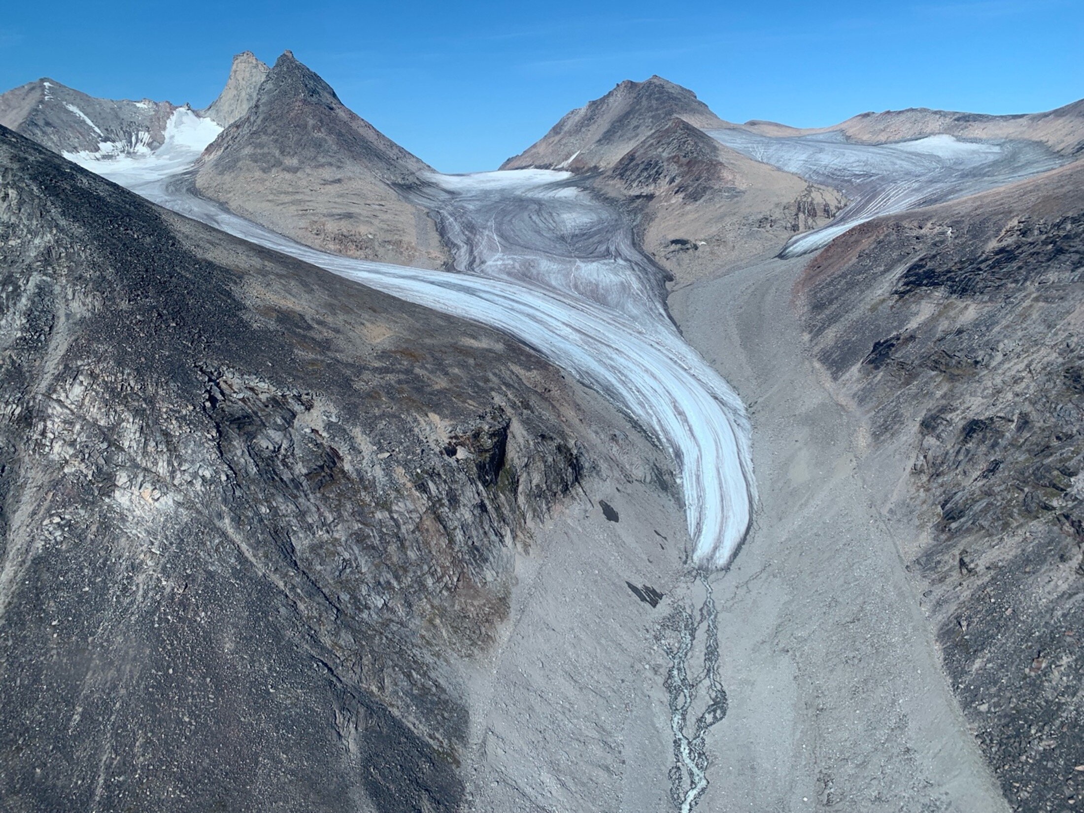
New research published in Antarctic Science explains Blood Falls: the red water is iron oxide formed by ancient subterranean bacteria, while the liquid is a hypersaline brine kept unfrozen at -20°C; eruptions occur when pressure builds in subglacial channels beneath Taylor Glacier, forcing brine out in bursts and briefly slowing the glacier, with warming's future effects still unknown.

Scientists Uncover the Hot Secret Stabilizing Earth's Continents and Life
science8 months ago

Scientists Uncover the Hot Secret Stabilizing Earth's Continents and Life

New research reveals that Earth's stable continents were formed by extremely high temperatures deep within the crust, driven by radioactive decay of elements like uranium and thorium, which facilitated the cooling and solidification of the crust. These processes, akin to forging metal, shaped Earth's landmasses and created a stable foundation for life, offering insights into planetary habitability and guiding the search for life on other planets.

Scientists Warn of Major Landmass Shift Due to Powerful Force
science8 months ago

Scientists Warn of Major Landmass Shift Due to Powerful Force

Greenland has been shifting northwest by about two centimeters annually over the past 20 years due to ice melt caused by climate change, affecting its size and shape, with implications for geoscience and navigation; this movement underscores the accelerating impact of global warming on the Arctic, prompting increased awareness and conservation efforts worldwide.

Moving Hotspot Forms World's Longest Underwater Mountain Chain
science1 year ago

Moving Hotspot Forms World's Longest Underwater Mountain Chain

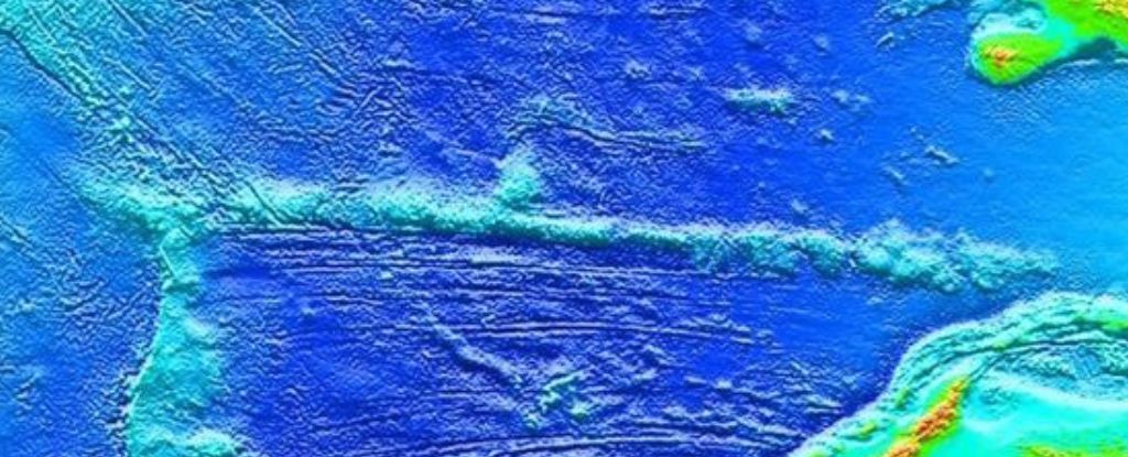
A new study reveals that the Ninetyeast Ridge, a massive underwater mountain range in the Indian Ocean, was formed by a moving hotspot, challenging previous beliefs that hotspots remain stationary. Researchers found that the Kerguelen hotspot moved several hundred kilometers within the mantle, creating the ridge as the Indian Plate drifted northward. This discovery, supported by basalt sample analysis, provides new insights into the dynamics of mantle plumes and tectonic plate movements, refining models of Earth's geological history.

Volcanic Caves on Earth Offer Clues to Life on Mars
science1 year ago

Volcanic Caves on Earth Offer Clues to Life on Mars

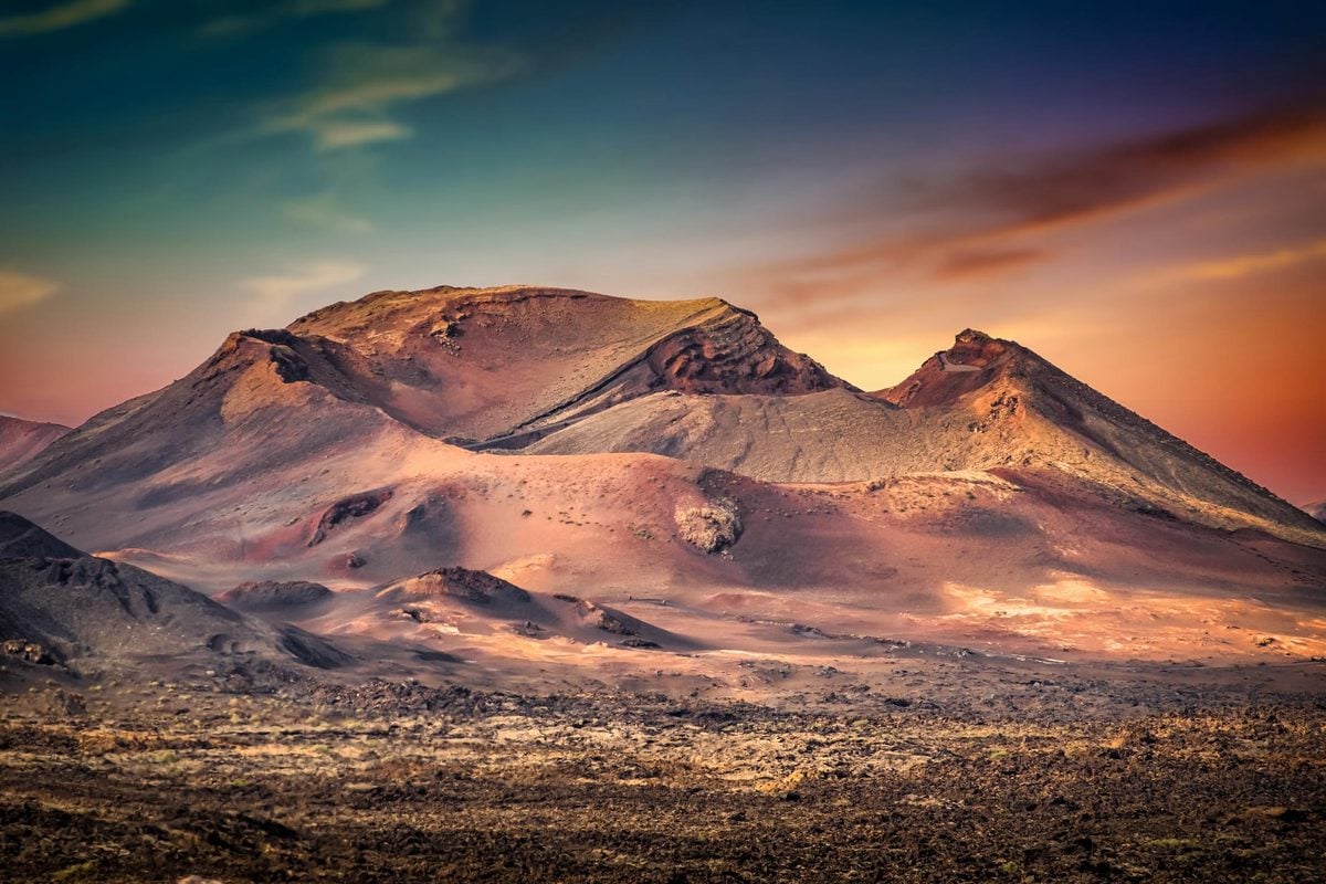
An international team of researchers has conducted the first detailed study of minerals and microorganisms in lava tubes on Lanzarote, revealing insights into Earth's ancient ecosystems and potential implications for finding life on Mars. The study, led by Professor Bogdan P. Onac, found that the volcanic rock in these tubes preserves biosignatures, suggesting microbial activity. This research highlights the potential of lava tubes as refuges for microbial life, which could guide future Mars missions in identifying biosignatures.

China Embarks on Deep Earth Drilling Project for Scientific Research
science-and-technology1 year ago

China Embarks on Deep Earth Drilling Project for Scientific Research

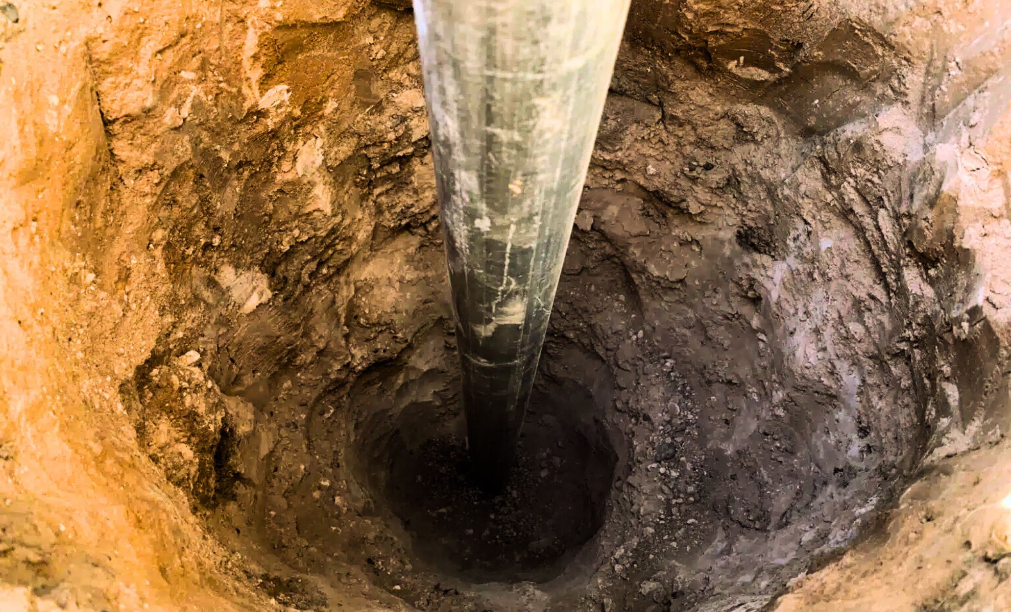
China is drilling a deep borehole, Shenditake 1, in the Taklamakan Desert, aiming to reach 36,418 feet into the Earth's crust to study its internal structure and evolution. The project, led by China National Petroleum Corporation, has already reached over 32,808 feet in just 10 months, despite challenging conditions like high temperatures and pressure. This effort is part of a broader geoscience research initiative, contrasting with Russia's Kola Superdeep Borehole, which took 19 years to reach a greater depth.

Scientists Uncover Origin of Mysterious Earth Layer
science2 years ago

Scientists Uncover Origin of Mysterious Earth Layer

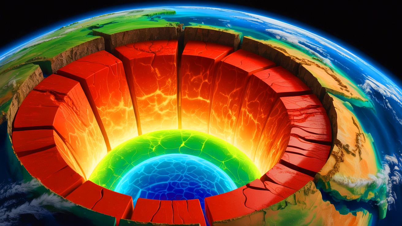
Geoscientists have potentially solved the mystery of the D" layer, a molten rock layer deep within the Earth, suggesting it was formed by a collision with a Mars-sized planet billions of years ago. This impact created a magma ocean, where unique chemical reactions led to the formation of an iron-rich phase called iron-magnesium peroxide, explaining the layer's seismic heterogeneity and varying thickness.