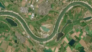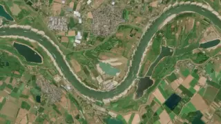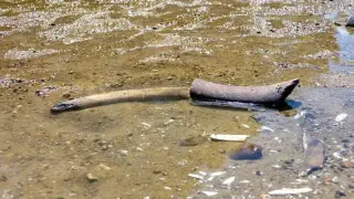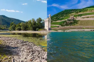
Photos show toxic runoff from rare-earth mining contaminating rivers in Southeast Asia, signaling environmental damage that could threaten ecosystems and local communities, and prompting calls for tighter oversight and cleanup efforts.
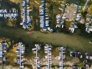
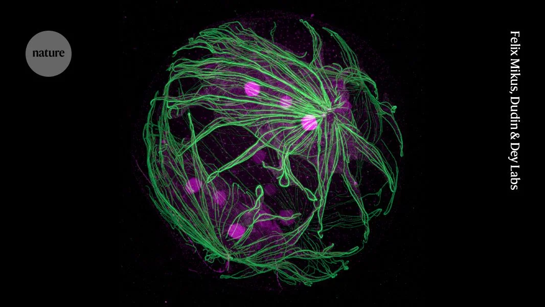
Nature’s March image showcase highlights striking science visuals—from expansion microscopy of green algae and sleeping parasites to the first satellite-tracked leatherback turtle, a global river network mapped from 1.7 million observations, glowing coronae on tree tips, a chocolate slime mold, and AI-driven outdoor robots.
A 2023 Landsat-8 image captures the moment when Guyana’s Cuyuni, Mazaruni and Essequibo rivers converge near Bartica to form a large waterway with a striking color split. The lighter Cuyuni carries more suspended sediment, while the Mazaruni and Essequibo are darker due to tannins from vegetation decay; the different densities of the river waters slow mixing at the junction, creating the half-and-half effect that reflects both the country’s geology (the Guiana Shield) and upstream mining impacts.
Geologists say a deep lithospheric drip beneath the Uintas briefly lowered a barrier, allowing the Green River to cut uphill and merge with the Colorado River for about 99–100 miles in northeastern Utah. The event is dated to roughly 2.3–4.7 million years ago and is supported by sediment records and seismic imaging showing a mantle root beneath the mountains. This deep-earth movement helped shift the continental drainage divide, enabled fish to mix between basins, and helped carve the Canyon of Lodore, illustrating how subterranean processes shape surface rivers.
The Seahawks' defense led them to an 18-16 win over the Colts, limiting Philip Rivers and Jonathan Taylor, despite Rivers' impressive return and Taylor's usual explosiveness, with key plays including a game-winning field goal and a game-sealing interception.
A recent study published in Nature reveals that ancient carbon stored in soils and rocks is leaking into the atmosphere through rivers at a much higher rate than previously thought, potentially significantly impacting global climate change efforts and requiring a reassessment of the global carbon cycle.
A recent study using 36 years of satellite data has revealed that rivers split into multiple channels when erosion outpaces sediment deposition on opposite banks, a finding that clarifies a century-old mystery and has implications for river restoration and flood management.
A new study reveals that over half of the carbon emissions from rivers come from ancient, long-term stored carbon, challenging previous assumptions and indicating a significant, previously unaccounted-for source of atmospheric greenhouse gases that could impact climate change models.
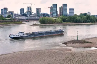
A new study has mapped the flow of water through the world's rivers over 35 years, revealing significant changes with major implications for water supply and flood risks. Nearly half of the largest downstream rivers have seen reduced flow, while 17% of smaller upstream rivers have increased flow, largely due to human activity and climate change. These changes affect freshwater availability, sediment transport, and flood risks, highlighting the need for better understanding and adaptation to these rapid shifts.
Rivers and streams in Alaska are turning orange due to toxic metals like iron, zinc, and copper being released from thawing permafrost, a phenomenon linked to climate change. This unexpected consequence has surprised scientists and raised concerns about the impact on aquatic life and local communities relying on these waterways. Similar effects have been observed in other regions, including Colorado's Rocky Mountains.
Several rivers in the Pittsburgh area have reached or are near major flood stages following record rainfall, with the Ohio River in Pittsburgh cresting just below the major flood stage mark. Flood warnings are in place, impacting traffic and causing closures of major routes. The Monongahela and Youghiogheny Rivers have also crested at major flood stages, leading to significant flooding across the region. The wet weather is expected to continue, with colder conditions increasing the risk of landslides, and winter weather advisories in effect for parts of West Virginia.
As global temperatures rise, Arctic permafrost could thaw, leading to the creation of new rivers and expansion of existing ones, releasing large amounts of carbon into the atmosphere and potentially triggering a devastating feedback loop. The study found that permafrost thaw from 1 degree Celsius of warming in the Arctic could emit the same amount of carbon as 35 million cars driven for a year, contributing to more warming and erosion of the landscape.
Toxic runoff from roads surrounding the Welford Park Estate, where the 'Great British Baking Show' tent is erected, is polluting streams and rivers in the area, with the River Lambourn being particularly affected. The runoff contains oil, chemicals, and rubber particulates from car and truck tires, posing a threat to the local ecology. Despite the identification of over 1,000 high-risk areas, only 30 have been slated for mitigation measures by National Highways, raising concerns about the future impact of increasing tire and brake particulates from larger electric cars on waterways.
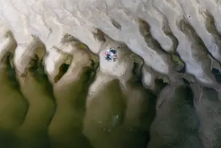
NASA's Mars Reconnaissance Orbiter has captured an image showing evidence of ancient rivers on Mars, indicating that the planet once teemed with water billions of years ago. The snapshot reveals ridges in Aeolis Planum, showcasing the meandering forms of dried-up rivers and the geological phenomenon of inverted channels. While Mars is now an intensely dry, desert world, NASA's Perseverance rover is currently searching for potential signs of past primitive life on the Red Planet, and the space agency is investigating the potential for a compact Mars plane to further explore the Martian surface.
Heavy rain in southeast Texas has led to concerns about potential flooding in the Houston area, particularly along the San Jacinto River, Trinity River, and San Bernard River. Water releases from the Lake Conroe dam and Lake Livingston dam have raised water levels, prompting voluntary evacuation orders in some areas. Residents are advised to exercise caution and stay away from affected rivers until water levels recede.