Spanning roughly 60 million square miles, the Pacific Ocean holds more than half of Earth's freshwater, is bordered by the Ring of Fire with deep trenches like the Mariana, and its tectonic activity and current systems drive climate patterns such as El Niño and La Niña while supporting a vast range of marine life.
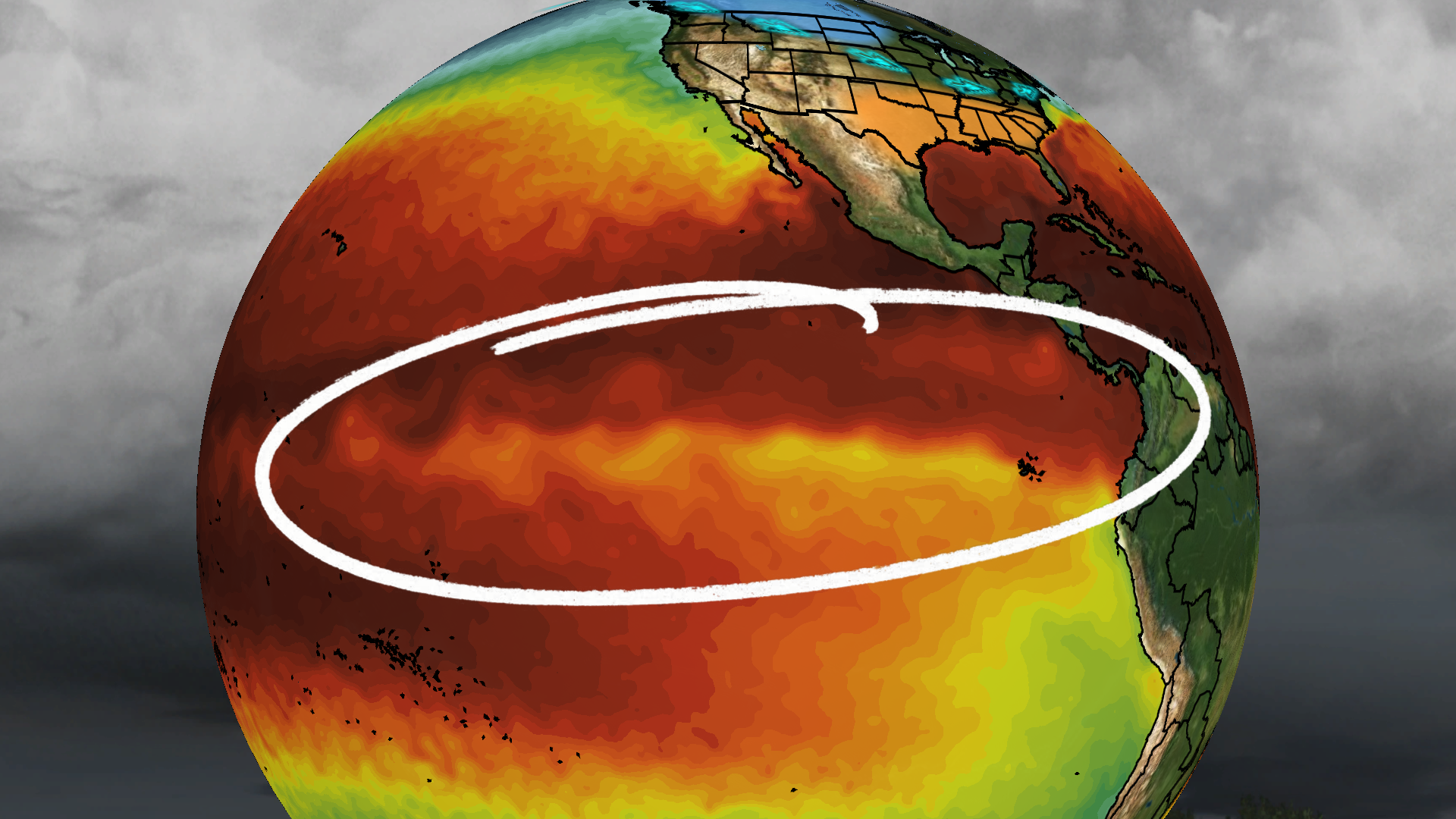
A Science Advances study explores marine cloud brightening—spraying particles into ocean clouds to reflect sunlight—as a controversial, temporary tool to lessen the impacts of a potential Super El Niño. Using a natural-fire–driven analog, researchers modeled deploying the technique before two historic El Niño events and found it could reduce heat and dryness and boost La Niña conditions by about 40%, especially if used early. The paper stops short of advocacy, calling it a proof-of-concept that warrants further study while flagging major caveats: technical feasibility, uncertain regional effects, ethical questions about governance, and the risk of unintended consequences or termination shocks if deployed. Experts caution that while intriguing, such geoengineering is far from ready and should not replace emissions cuts.
Global temperatures in 2025 averaged about 1.4C above pre-industrial levels, cooler than 2024 due to La Niña, but the last three years have been the warmest on record. Despite natural cooling, human-caused emissions continue to drive long-term warming, bringing the world closer to the 1.5C target and signaling more heat records and extreme weather unless emissions are sharply reduced and adaptation is intensified.
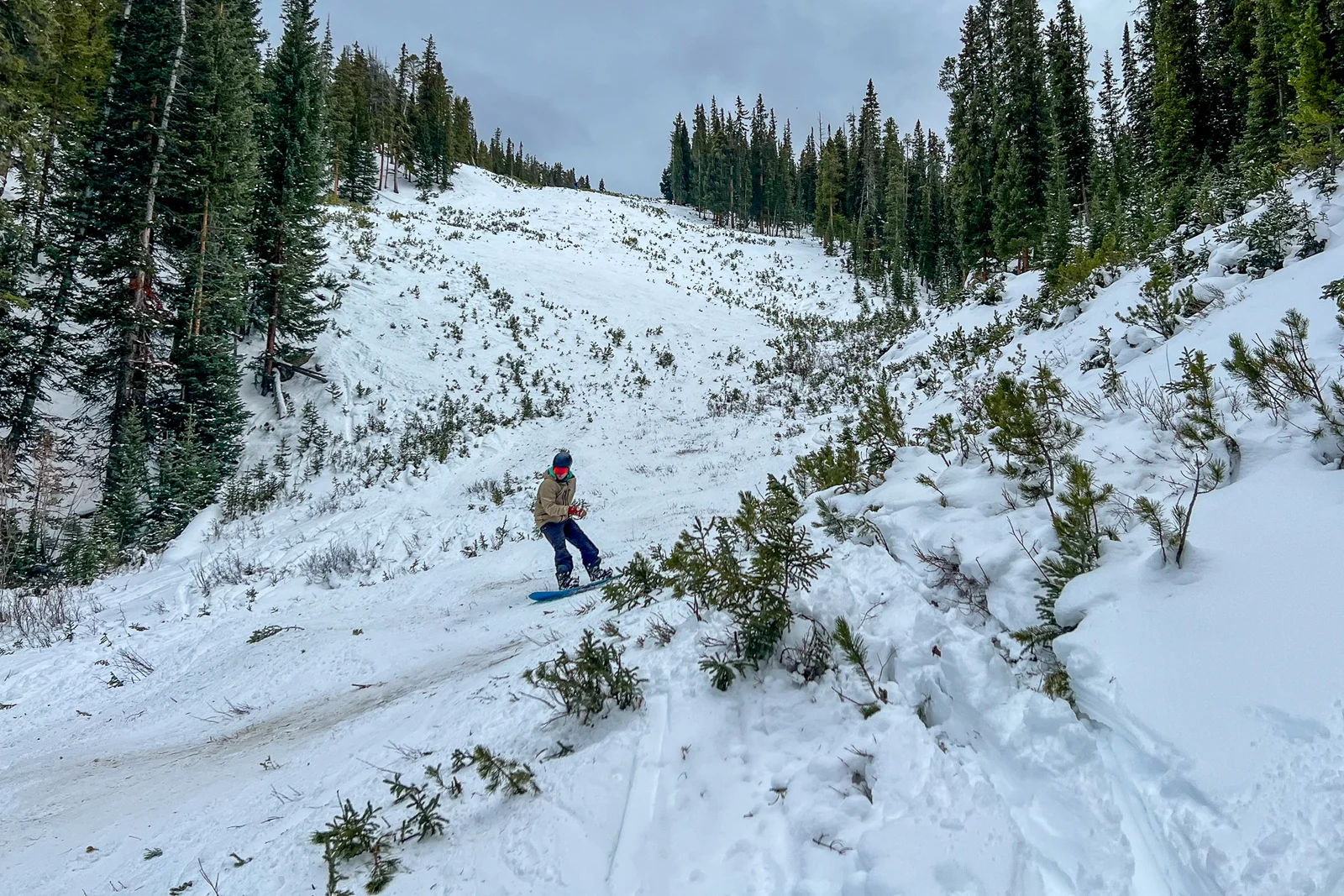
Colorado's snowpack remains significantly below normal due to dry conditions and warm temperatures, with natural variability and La Niña influences playing roles; climate change may be contributing to the record warmth, but its impact on snowfall is less certain.
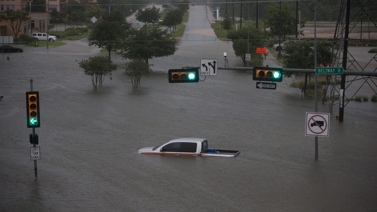
Severe storms across the US coasts and Midwest are causing widespread travel disruptions during the busy holiday season, with over 1,600 flights canceled and major airports affected by snow, rain, and flooding, compounded by the return of La Niña weather patterns.
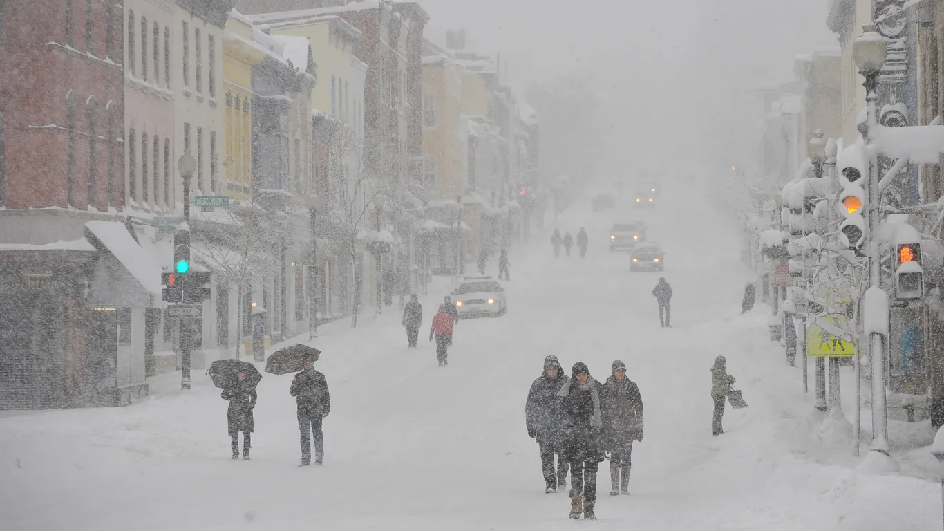
NYC's winter snowfall is expected to be below average this season due to a weak La Niña, with forecasts predicting 15-20 inches of snow, which is less than the 30-year average of nearly 30 inches, though a significant snowstorm cannot be ruled out.
Scientists have linked the Earth's recent off-kilter wobble, known as the Chandler wobble, to a significant La Niña event in 2010-2011, which caused mass anomalies and influenced Earth's rotational axis, with climate change potentially amplifying such effects in the future.
Weather forecasters have issued early predictions for the 2024-2025 winter season in New Jersey, with most expecting warmer than average temperatures and varying snowfall levels. AccuWeather and the Climate Prediction Center anticipate less snow and warmer conditions, while NY NJ PA Weather suggests near-normal temperatures and snowfall, with potential for significant snow in some areas. The Farmers' Almanac predicts above-normal precipitation, while the Old Farmer’s Almanac forecasts a milder winter with less snow. A weak La Niña and warm ocean waters are influencing these forecasts.
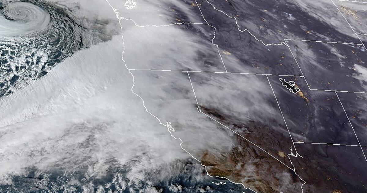
California's rainy season has begun with a powerful atmospheric river storm, intensified by a bomb cyclone, bringing heavy rains and strong winds to Northern California and southern Oregon. The storm is expected to cause life-threatening flooding, power outages, and blizzard conditions in the region. While the rainfall may help alleviate fire risks, it also poses significant flooding threats. The storm's impact on the overall rainy season remains uncertain, with predictions of above-average rainfall in the short term, but long-term forecasts are unclear due to a neutral El Niño-Southern Oscillation cycle.
Meteorologists are divided on snowfall predictions for Washington D.C. this winter, with forecasts ranging from 6 to 20 inches. While La Niña conditions suggest a milder winter, the Capital Weather Gang predicts 12 to 18 inches, potentially making it the snowiest season since 2018-2019. However, other forecasts vary, with some predicting as little as 4 inches. The region hasn't seen normal snowfall in five years, and predicting weather beyond 10 days remains challenging.
NOAA has issued an update indicating that a weak La Niña is expected to develop in the coming months, but it is likely to be short-lived and have less impact on global weather patterns, including winter weather in the U.S. Current neutral conditions in the Pacific Ocean suggest that while a La Niña watch remains in effect, the event's influence on typical winter temperature and precipitation patterns may be less pronounced. The likelihood of La Niña forming by the end of December has decreased to 57%.
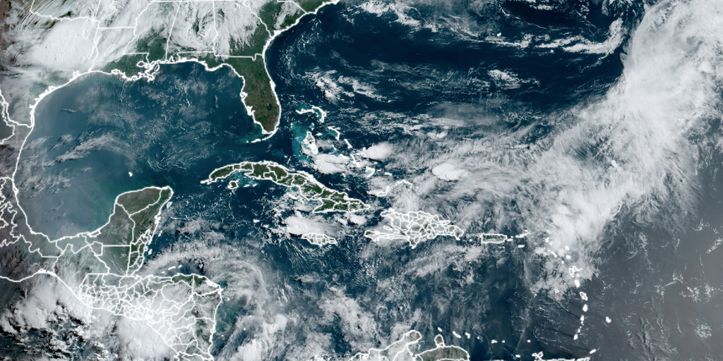
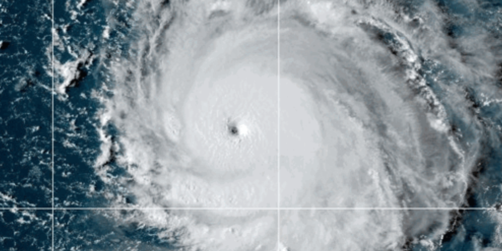
Despite a historically late start to the Atlantic hurricane season with no named storms by June 5, forecasters maintain that the season could still be very active. The delay is attributed to a heat dome over Central America and Mexico, which has created hostile conditions for storm development. However, record-warm water temperatures and the budding La Niña are expected to make conditions more favorable for tropical activity later in the season. Forecasters urge caution, noting that past seasons with late starts have still been above average and devastating.
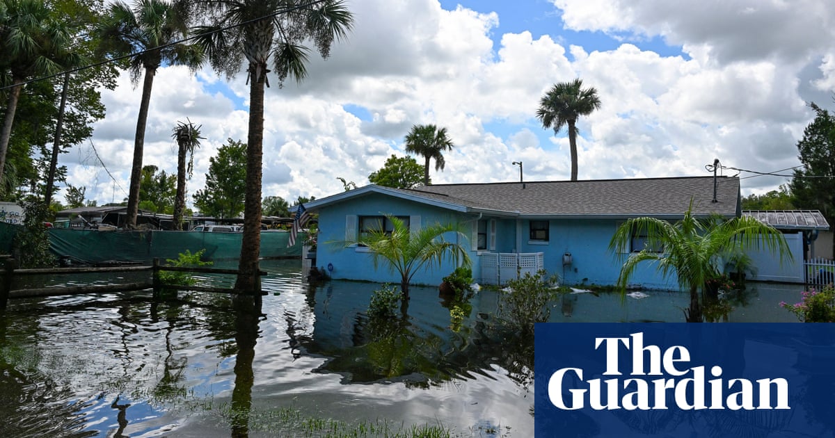
The summer of 2024 is expected to bring extreme weather conditions, including record-breaking heat, deadly wildfires, and a potentially prolific Atlantic hurricane season, driven by the alternating climate patterns of El Niño and La Niña. Scientists warn that climate change is exacerbating these natural phenomena, making them more destructive and unpredictable. Residents in vulnerable areas are advised to prepare for these extreme events in advance.
The 2024 Atlantic hurricane season is expected to be highly active, with NOAA forecasting 17-25 named storms, 8-13 hurricanes, and 4-7 major hurricanes. The season runs from June 1 to November 30, with the peak typically occurring in August and September. Factors contributing to the aggressive forecast include extremely warm Atlantic waters and the potential development of a La Niña. Experts urge residents to prepare now, emphasizing the importance of having a plan, an emergency kit, and knowing evacuation zones.
The National Oceanic and Atmospheric Administration predicts an "above normal" 2024 Atlantic hurricane season due to very warm ocean temperatures and La Niña conditions, with an 85% chance of increased storm activity. Scientists warn of potential natural disasters, particularly affecting coastal and low-income communities. NOAA forecasts 17-25 named storms, including 8-13 hurricanes and 4-7 major hurricanes. Experts urge policymakers to invest in climate resilience and reduce emissions to mitigate future risks.