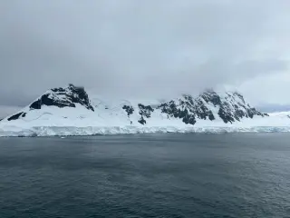
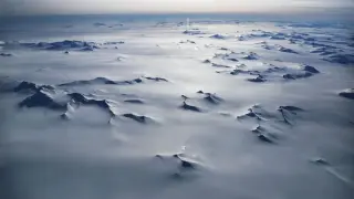
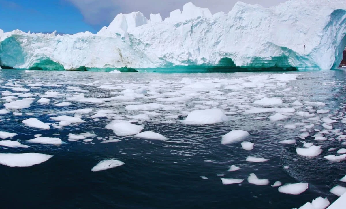
A new study in Nature Geoscience confirms that Antarctica is committed to net ice loss this century, even if global warming is limited to 1.5 degrees Celsius. While extra snowfall cannot offset melting, high emissions could trigger a domino effect adding up to 25.4 cm to sea levels by 2100, threatening coastal communities.
A new study in Nature reveals that East Antarctica gained 695 billion tonnes of ice between 2021 and 2023, the largest increase recorded by GRACE satellites. This temporary surge, driven by tropical ocean warming and atmospheric rivers, does not reverse long-term ice loss trends.
A 2026 modelling study links East Antarctica’s rise to Jurassic-era mantle processes triggered by continental breakup, arguing that tens of millions of years of uplift created a high interior and ice-hardy topography that allowed a continent-wide ice sheet to form around 34 million years ago even while global temperatures were about 5°C warmer than today. Falling CO2 remained the primary trigger, with topography and albedo feedbacks helping seed and stabilize the ice, though this reconstruction carries uncertainties and does not guarantee modern ice safety.
Beneath roughly four kilometres of Antarctic ice at Vostok Station, Lake Vostok—about the size of Lake Ontario—remains liquid thanks to insulation by the ice, a pressure-lowered melting point, and a steady geothermal heat flux that keeps the basal boundary near the melting point. The ice’s slope creates zones of melting and freezing, driving circulation and a slow exchange with accretion ice at the bottom. The lake has likely stayed isolated for about 15 million years from sunlight and direct atmosphere, though the water itself is mobile and the exact ages of water or material differ; while microbes have been detected in accretion ice, clean evidence from the main water column is hampered by drilling contamination, so a robust biological census remains elusive.
Antarctica is a desert by precipitation, receiving less than 250 mm annually, yet it stores about 70% of Earth's fresh water in an ice sheet averaging over two kilometres thick. The interior's extreme dryness and cold allow snow to accumulate and compress into ancient ice that records climate history in cores like Vostok. Warming could bring more snowfall inland but intensify coastal ice loss, notably from Thwaites Glacier, with potential sea-level rise around 58 metres if all Antarctic ice melted—though that would occur on millennial timescales. The continent's high, cold plateau is the key to this paradox and Earth's largest freshwater reservoir.
New computer models suggest mantle-wave driven uplift after Gondwana's breakup raised East Antarctica high enough by about 45 million years ago to form mountain glaciers and seed the Antarctic ice sheet long before the Arctic froze; the study shows elevation and latitude are as important as CO2 cooling in glaciation and cautions that warming today can erode ice faster than it can regrow.
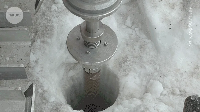
Researchers drilled 523 meters through Crary Ice Rise in West Antarctica to recover a 228-meter sediment core, capturing a 23-million-year climate record that includes evidence of past open-ocean conditions and ice-margin retreat during warmer periods, informing predictions of how the West Antarctic Ice Sheet may respond to warming and its potential sea-level contribution.
A multinational team drilled beneath the West Antarctic Ice Sheet, reaching 523 meters of ice and 228 meters of ancient rock and sediment, and found marine organisms and shell fragments that indicate parts of the region were once open ocean. These findings shed light on past warmer climates over the last roughly 23 million years and could help improve predictions of future sea-level rise as the ice sheet retreat cycles are better understood.
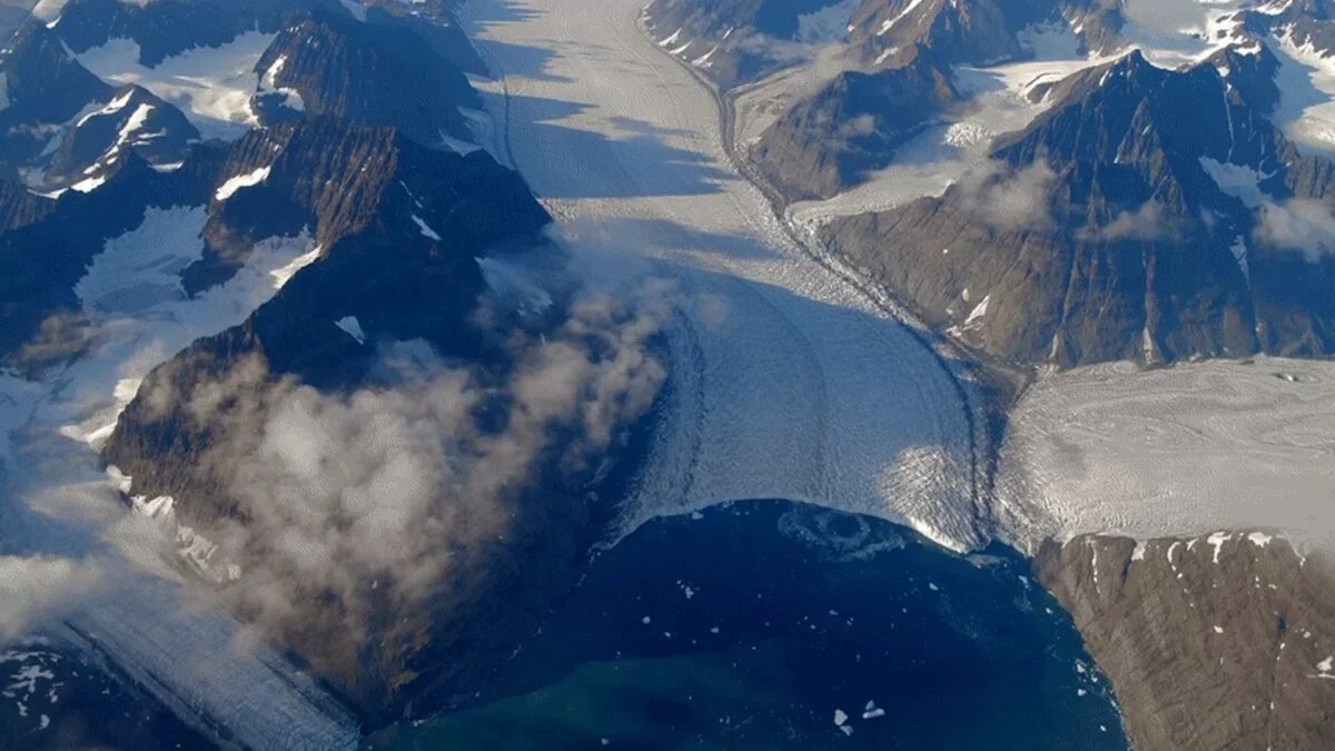
New computer modeling of Greenland’s ice sheet suggests deep plume-like structures arise from thermal convection—a heat-driven, slow churning process that may make some ice softer than previously thought. While this explains the plumes, researchers caution softer ice alone doesn’t automatically mean faster melt or higher sea-level rise, and further studies are needed to understand the full implications for the ice sheet’s mass balance and coastal impacts.
An international SWAIS2C team drilled a 523‑metre hole through West Antarctica’s Crary Ice Rise to recover a 228‑metre sediment core—the deepest ever retrieved beneath an ice sheet. Preliminary dating, based on fossilized algae, suggests a 23‑million-year archive that includes warmer-than-present periods, providing new insight into how far the West Antarctic Ice Sheet has retreated in the past and whether warming could trigger irreversible loss, with significant implications for future sea levels.
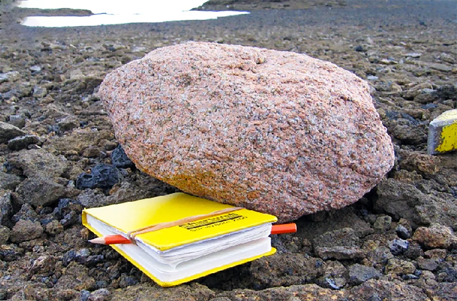
Pink granite boulders found in Antarctica’s Hudson Mountains led scientists to discover a massive granite deposit buried beneath Pine Island Glacier, linking surface clues to the glacier’s past flow and improving predictions of future sea‑level rise.
Pink granite boulders on Antarctica’s Hudson Mountains led scientists to a vast, buried granite deposit beneath Pine Island Glacier—about 100 km wide and 7 km thick. Dating places the rocks at roughly 175 million years old, and gravity surveys reveal the hidden under-ice structure. The find helps explain how the ice sheet moved in the past and how it may respond to future sea-level changes, improving models of ice dynamics.
Researchers using gravity surveys and radiometric dating have uncovered a vast 100-km-wide, 7-km-thick granite deposit buried beneath Pine Island Glacier, dating to about 175 million years ago. The discovery sheds light on subglacial topography, ice-sheet dynamics, and could improve predictions of future sea-level rise.
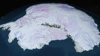
A high-resolution map created by combining satellite data and physics-based modeling reveals Antarctica’s buried bed beneath the ice, uncovering tens of thousands of subglacial features and a massive under-ice channel in the Maud Subglacial Basin, improving understanding of how the ice sheet may move over time.
Using high-resolution satellite data and Ice Flow Perturbation Analysis, scientists mapped Antarctica’s concealed under-ice landscape—71,997 hills and a 248.5-mile valley in the Maud Subglacial Basin—showing how this hidden terrain governs glacier movement and will improve predictions of global sea‑level rise.