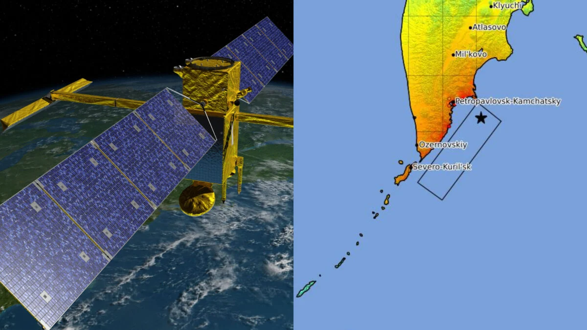
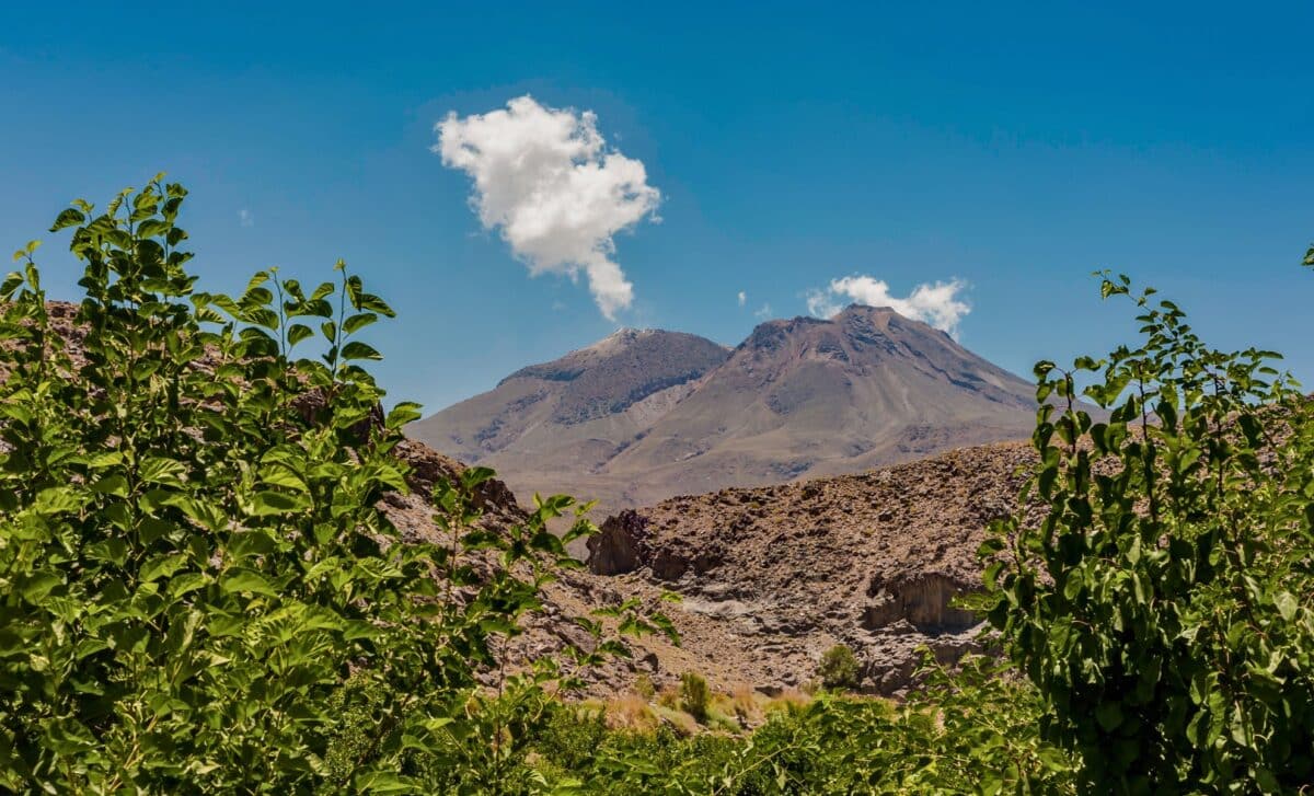
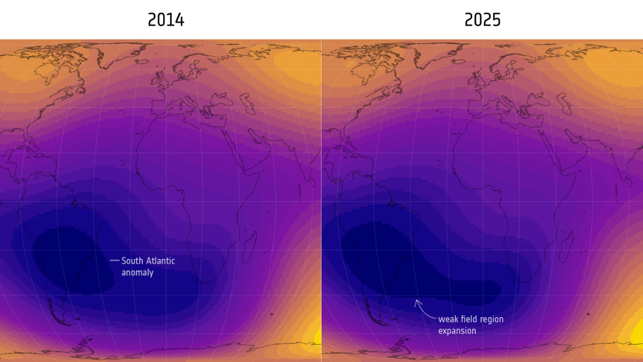
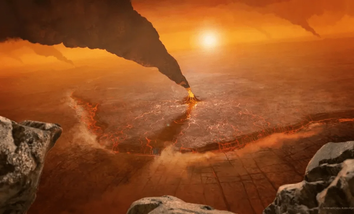
Tag

Satellite Data

All articles tagged with #satellite data

Glacier-edge lakes accelerate Greenland ice loss, study finds
environment2 days ago

Glacier-edge lakes accelerate Greenland ice loss, study finds

A new satellite-based study from the University of Leeds shows meltwater lakes forming at the ends of retreating Greenland glaciers (ice-marginal lakes, IMLs) actively speed up ice loss by lifting glacier fronts, reducing friction, and increasing calving, with fronts up to about three times faster and effects measurable up to 3.5 km inland. The finding implies current ice-sheet models should include IMLs to better project Greenland’s contribution to future sea level rise, alongside ongoing warming that already drives about 0.8 mm/year of sea-level rise and substantial ice loss.

Global Sea Level Exceeds Predictions, Southeast Asia at the Frontline
climate1 month ago

Global Sea Level Exceeds Predictions, Southeast Asia at the Frontline

Global coastal sea level is about 1 foot higher than previously assumed, with gaps up to 3 feet in Southeast Asia, because many studies relied on models without satellite measurements; a review of 385 papers found 90% used model-based estimates, risking 132 million more people being exposed sooner than projected. The authors call for recalibrating baselines by integrating satellite data with models, while long-term rise projections stay the same.

NASA Satellite Reveals Unexpected Tsunami Behavior After Russian Quake
science3 months ago

NASA Satellite Reveals Unexpected Tsunami Behavior After Russian Quake

A massive earthquake in Russia triggered a tsunami that was captured in unprecedented detail by the SWOT satellite, revealing complex wave interactions that challenge traditional models and refining the understanding of the quake's rupture length, highlighting the importance of integrating diverse data sources for accurate tsunami prediction.

Earth's Dimming and Symmetry Loss Signal Climate Shifts
science5 months ago

Earth's Dimming and Symmetry Loss Signal Climate Shifts

Recent satellite data reveal that the Earth's Northern Hemisphere is absorbing more sunlight than the Southern Hemisphere, breaking the long-standing symmetry. This shift is attributed to melting snow and ice, reduced pollution, and increased water vapor, potentially impacting global climate patterns. The study highlights the complex interactions between clouds, aerosols, and surface changes in Earth's energy balance.

Growing Weak Spot in Earth's Magnetic Field Detected by Satellites
science5 months ago

Growing Weak Spot in Earth's Magnetic Field Detected by Satellites

Satellite data over 11 years reveal that the South Atlantic Anomaly, a weak spot in Earth's magnetic field, is expanding and weakening more rapidly since 2020, with regional variations indicating complex changes in Earth's magnetic dynamics, which could impact satellite operations and Earth's protection from cosmic radiation.

Growing Weak Spot in Earth's Magnetic Field Detected by Satellites
science5 months ago

Growing Weak Spot in Earth's Magnetic Field Detected by Satellites

A significant and growing weak spot in Earth's magnetic field, known as the South Atlantic Anomaly, has expanded since 2014, posing risks to satellites and spacecraft. This growth is linked to complex flux patterns at Earth's outer core, with changes also observed over Canada and Siberia, indicating ongoing shifts in Earth's magnetic dynamics.

NASA Warns Earth’s Dimming Sunlight Threatens Global Climate Stability
science6 months ago

NASA Warns Earth’s Dimming Sunlight Threatens Global Climate Stability

Satellite data over 24 years reveal the Northern Hemisphere is gradually absorbing more solar energy due to reduced reflectivity from melting ice, decreased aerosols, and cloud changes, disrupting Earth's energy balance and potentially accelerating regional and global warming. This hemispheric asymmetry challenges existing climate models and underscores the need for refined predictions and policies.