Ocean Warming and Ice Melt Push Global Sea Levels Higher, Study Finds
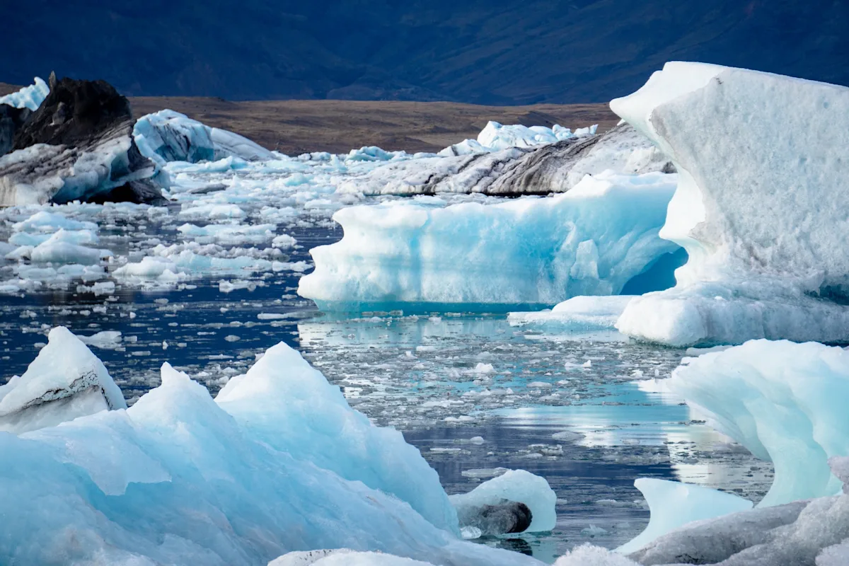
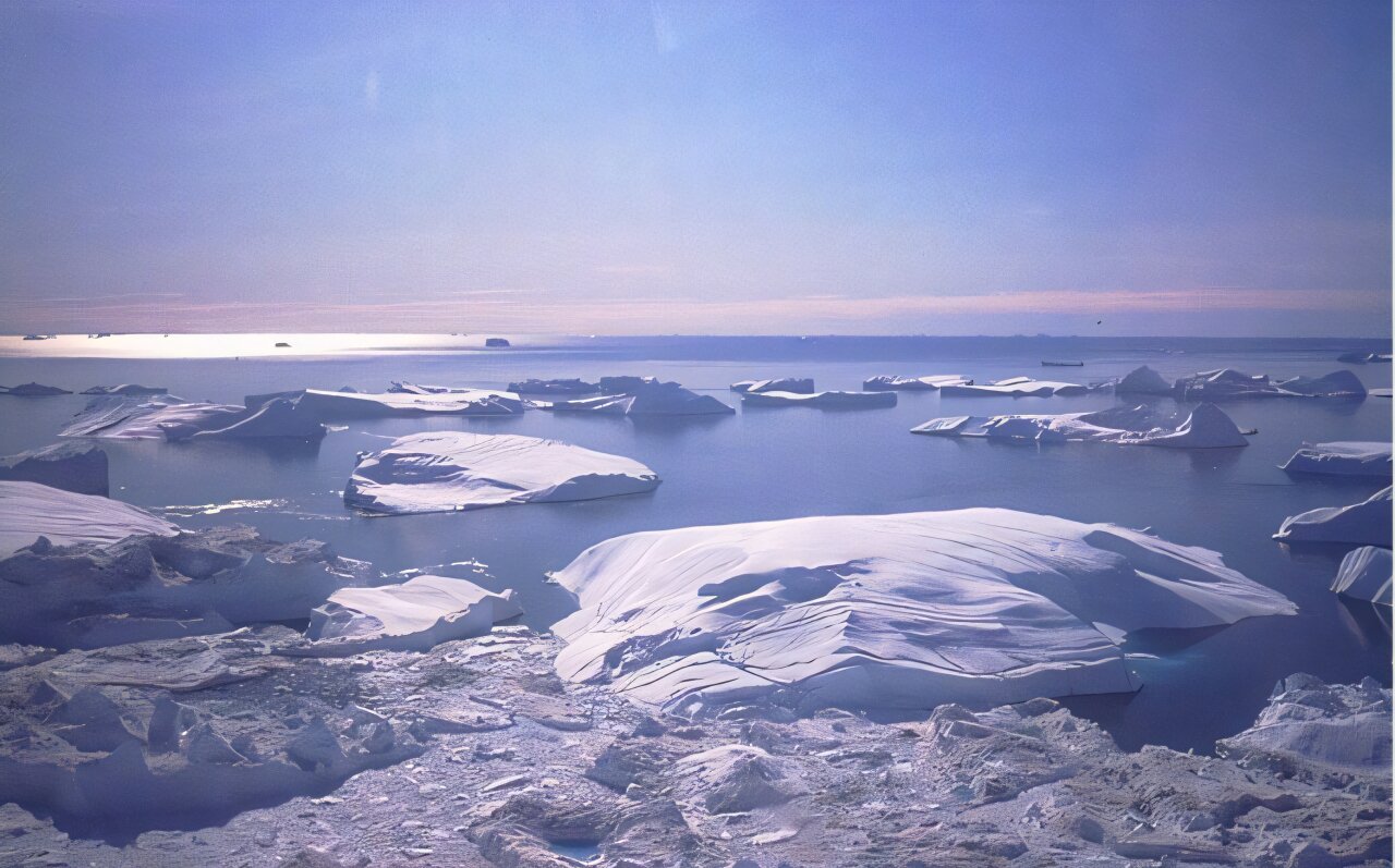
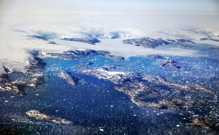
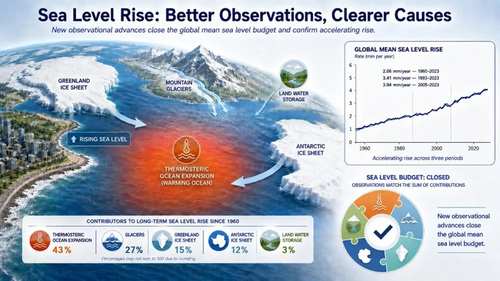
Global sea levels are rising at an accelerating pace driven mainly by warming oceans expanding water, with glaciers and ice sheets contributing increasingly; improved satellite and tide-gauge measurements close a long-standing discrepancy between observations and known causes, and scientists warn sea levels will keep rising for centuries due to climate inertia.