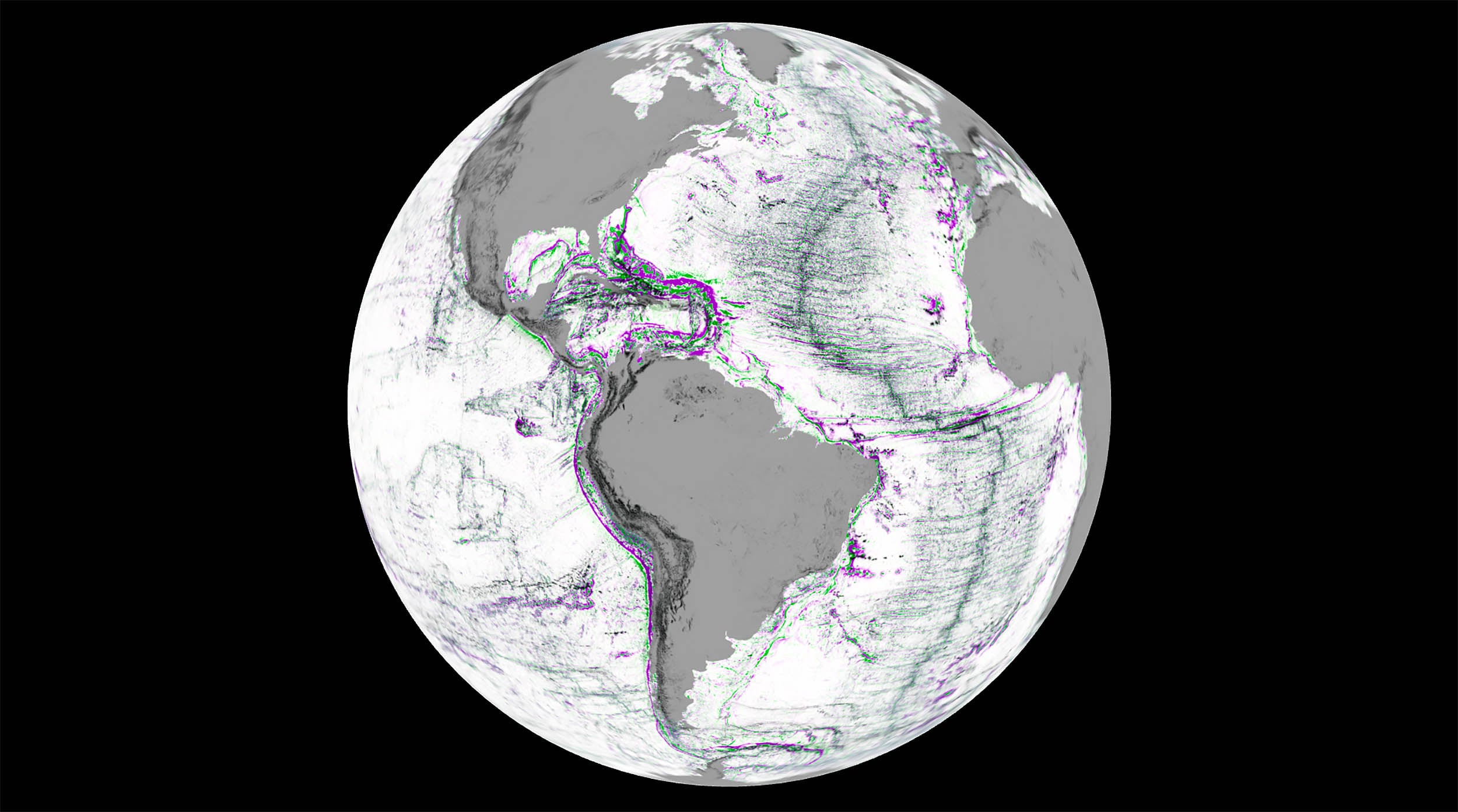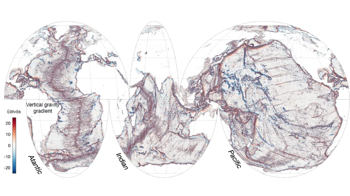
Earth’s Hidden Spine: The 65,000-Kilometer Undersea Mountain Chain
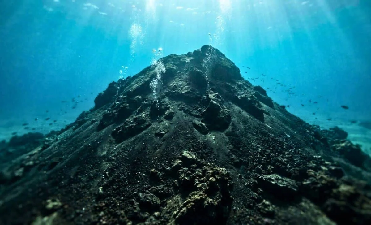
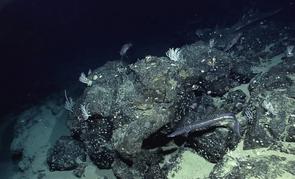
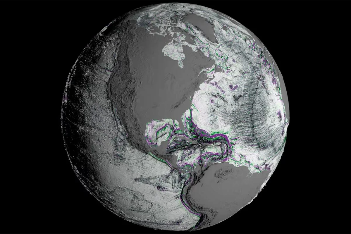
The mid-ocean ridge is the Earth’s longest mountain range, a 65,000‑km system of underwater volcanoes that encircles the globe and lies mostly beneath the sea. It forms where tectonic plates pull apart and new ocean crust is created. Mapped in the 1950s by Marie Tharp and colleagues, with major atlases published in 1957 and 1977, the ridge reshapes our view of the planet. Despite decades of sonar and satellite work, only about 28–29% of the seafloor has high‑resolution mapping as of 2026, and explorers have seen a vanishingly small fraction of the deep ocean floor, underscoring how much of Earth remains unseen.