Zealandia: Earth's eighth continent hidden beneath the South Pacific
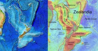
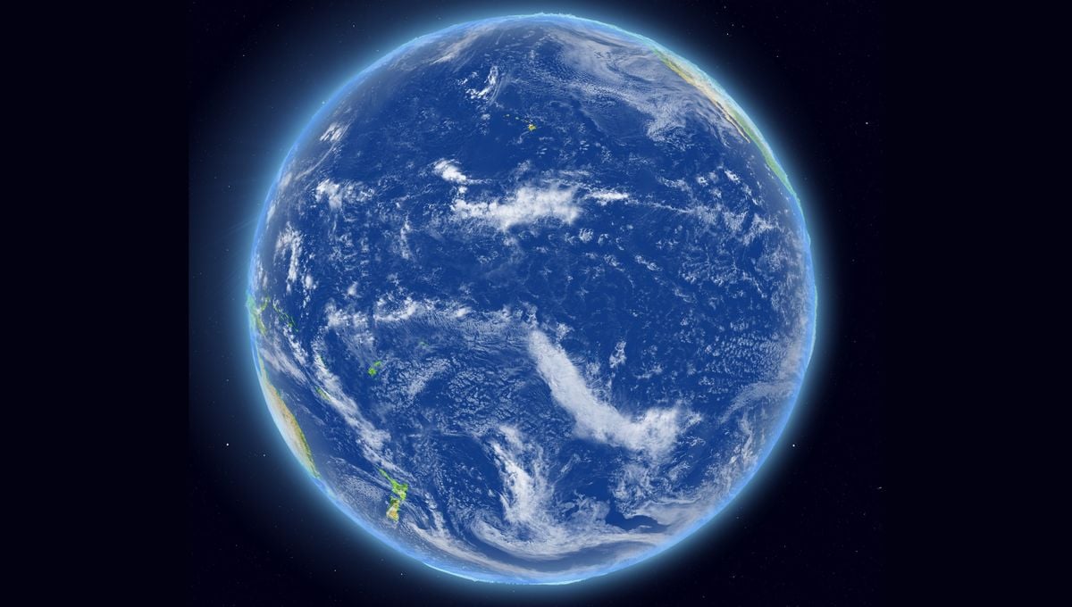
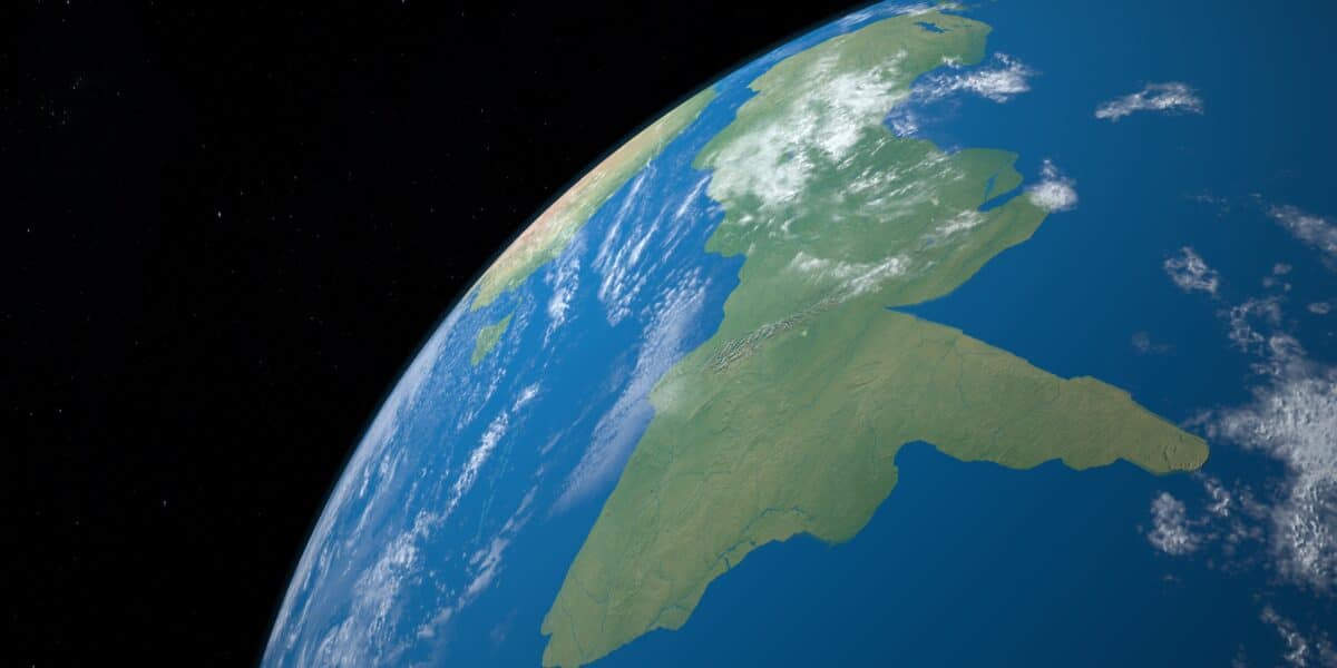
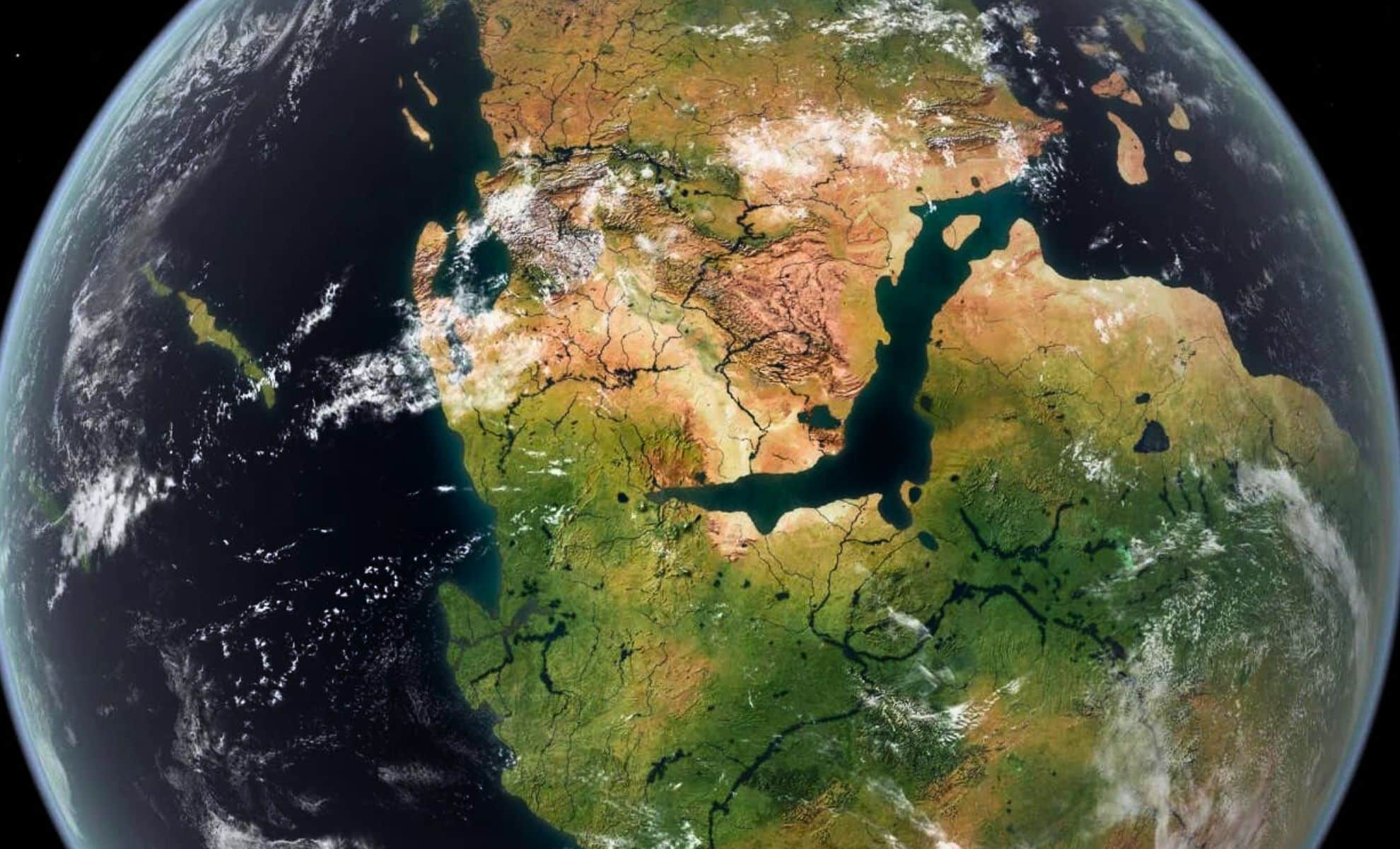
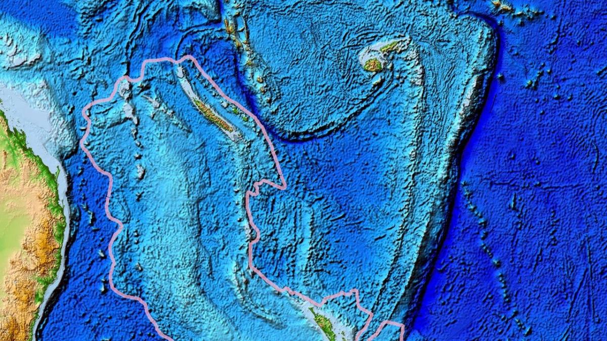
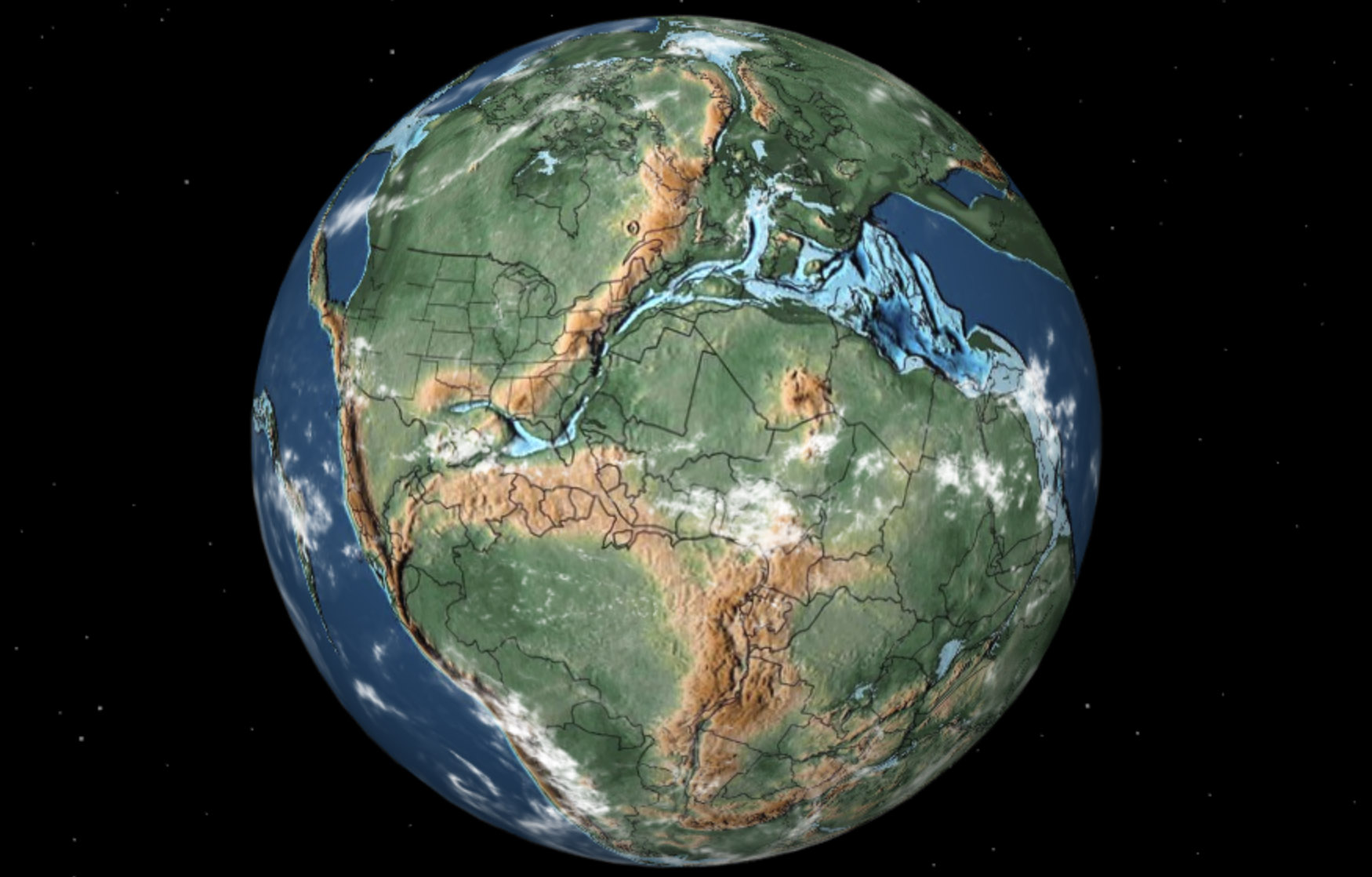
Zealandia is a coherent continent-sized crust of about 4.9 million square kilometres, roughly 94–95% submerged in the South Pacific, making it Earth’s eighth continent by geological criteria. Its classification rests on four tests (elevation above the seafloor, distinctive geology, continental crustal structure, and a sufficiently large, well-defined area) and is supported by rocks, gravity, seismic, and magnetic data linking offshore ridges to onshore belts. Separation from Gondwana began around 105–85 million years ago as the Tasman Sea opened, with modern mapping (2023) tying the submerged edges together at reconnaissance scale. The size is about 1.5 times India’s land area and roughly two-thirds the size of Australia, and while school maps commonly show seven continents, Zealandia’s status reflects geological, not cartographic, convention. There is no global authority mandating a continent count, so Zealandia’s “eighth continent” label remains a scientific classification rather than a universally official designation.