Tag

Mapping

All articles tagged with #mapping

Hidden Basin Network Beneath East Antarctica Could Reshape Ice Flow
earth-science1 month ago

Hidden Basin Network Beneath East Antarctica Could Reshape Ice Flow

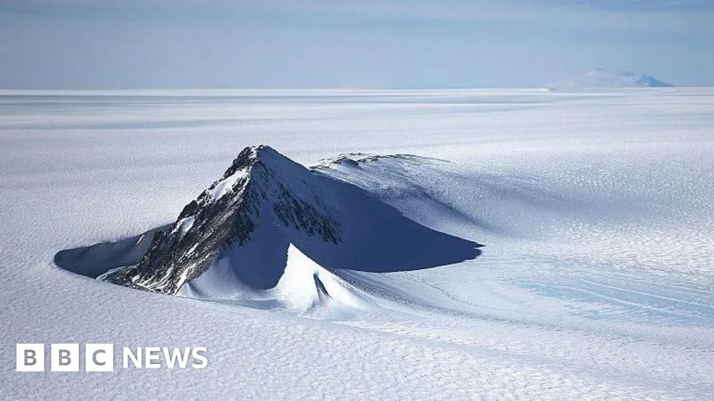
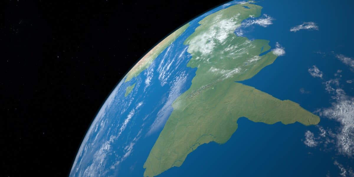
Researchers mapped a continent-scale bedrock system under East Antarctica—the East Antarctic Fan-Shaped Basin Province—comprising 30 pull-apart basins formed by distributed rotational extension. Using airborne gravity, magnetic surveys and seismic imaging, they suggest thinner, younger crust under much of the East Antarctic Ice Sheet, which could alter ice-flow patterns and heat transfer, with implications for ice-sheet stability and sea-level rise. The study, published in Nature Geoscience, challenges the idea of a single, stable crust beneath East Antarctica and underscores how hidden geology can influence the fate of Earth's freshwater ice.

Antarctica's Hidden Subglacial Landscape Unveiled from Space
science5 months ago

Antarctica's Hidden Subglacial Landscape Unveiled from Space

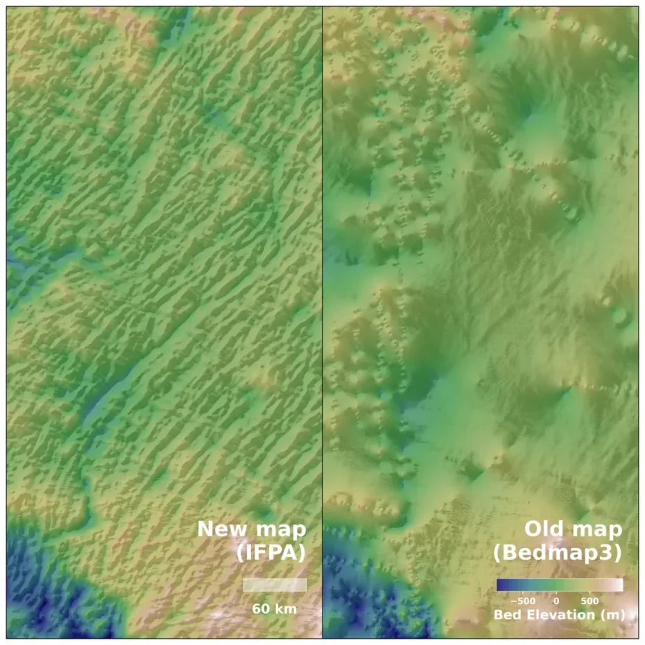
A new ultra-high-resolution map of Antarctica’s bedrock beneath the ice combines satellite data and glacial-flow models to reveal a surprisingly varied subglacial landscape—from alpine valleys to eroded ice-stream troughs. Published in Science by Helen Ockenden and colleagues, the map refines projections of ice loss and sea-level rise beyond earlier radar surveys. The work highlights the importance of space-based data for understanding Antarctica, with a caveat that removing ice weight would cause the land to rebound."

AI-powered map uncovers deep groundwater across the U.S. at 30-meter resolution
science5 months ago

AI-powered map uncovers deep groundwater across the U.S. at 30-meter resolution

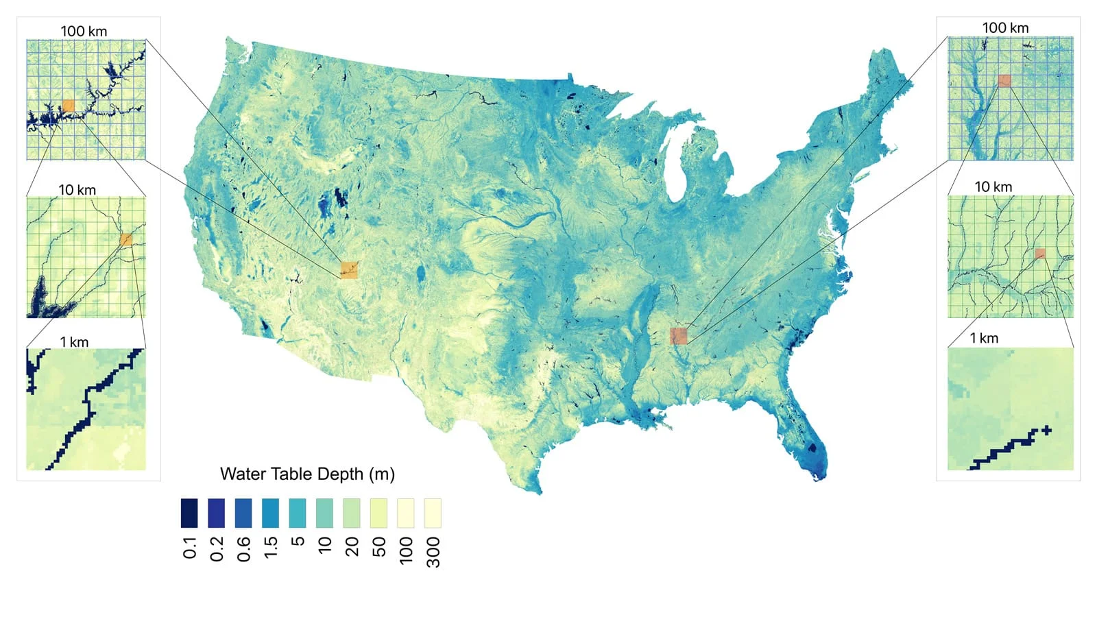
Researchers from Princeton and the University of Arizona created a high-resolution, AI-driven map of groundwater depth for the continental United States by combining over a million direct measurements with regional climate and geological data. The result estimates about 306,000 cubic kilometers of groundwater at a 30-meter grid (roughly 98 feet), revealing shallow supplies previously unknown and enabling more informed irrigation, conservation, and water infrastructure decisions. The model also quantifies uncertainty at each location and is designed for global expansion via the HydroFrame platform, signaling a shift toward data-driven, local-scale groundwater management.

Antarctica's hidden bedrock revealed in ultra-detailed new map
science5 months ago

Antarctica's hidden bedrock revealed in ultra-detailed new map

A new, highly detailed map of Antarctica’s bedrock beneath the ice, created by combining satellite surface data with ice-flow physics, reveals thousands of previously unseen hills and ridges and a prominent 50m-deep, 6km-wide channel in the Maud Subglacial Basin; while uncertainties remain, the map offers a clearer view of the bedrock that could improve models of glacier movement and future sea-level rise, complementing radar surveys and aiding climate projections.

Evolving Front Lines and Territorial Demands in Ukraine Conflict
world7 months ago

Evolving Front Lines and Territorial Demands in Ukraine Conflict

The article discusses the evolving and increasingly complex nature of mapping Ukraine's front line in the ongoing conflict with Russia, highlighting how open-source maps and social media are crucial in understanding battlefield dynamics, especially as the front becomes more porous and contested, with both sides using maps for propaganda and strategic purposes.

Revolutionary Digital Map Reveals Extent of Ancient Roman Roads
history8 months ago

Revolutionary Digital Map Reveals Extent of Ancient Roman Roads

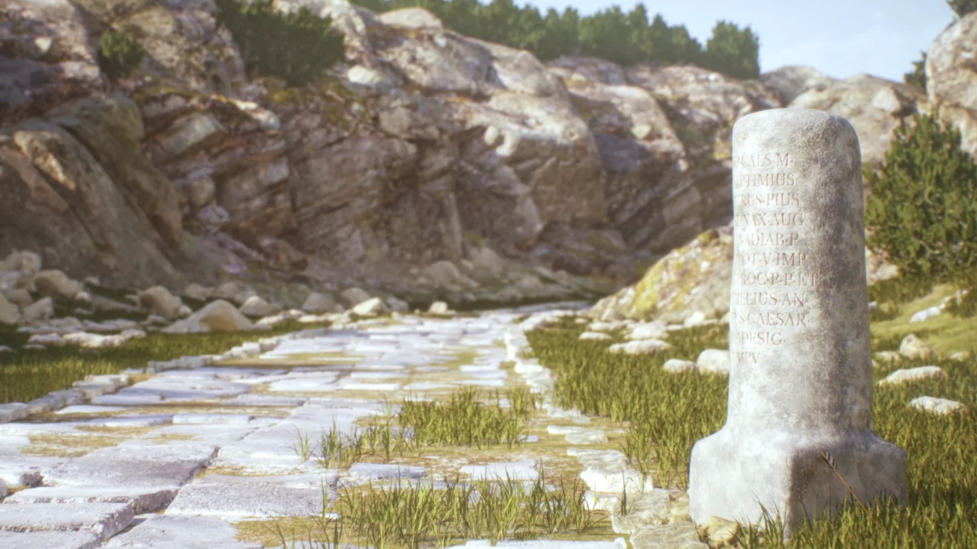
A team of international researchers has created a detailed map of the Roman road system around AD 150, covering over 300,000 km, which offers new insights into ancient Roman connectivity, travel, and influence, despite many roads still being uncertain in exact location. The visualization tool supports further research into Roman infrastructure and its long-term effects on the empire and beyond.

Google Earth Celebrates 20 Years with New Historical Street View Features
technology1 year ago

Google Earth Celebrates 20 Years with New Historical Street View Features

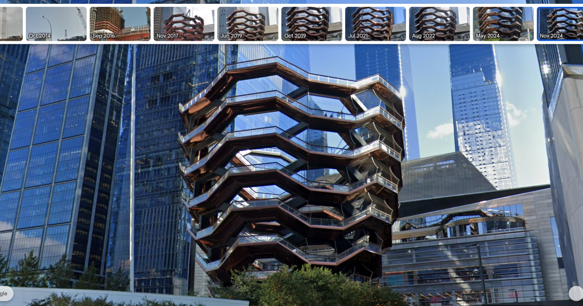
Google Earth has introduced a new feature allowing users to view historical Street View images, enabling them to see how locations have changed over time, as part of its 20th anniversary updates. Additionally, professional users will soon gain access to AI-driven insights about environmental factors like tree canopy coverage and land surface temperatures.

"Colorado's Fourteeners and Denver's Capitol Steps to Receive Updated Elevations"
geography2 years ago

"Colorado's Fourteeners and Denver's Capitol Steps to Receive Updated Elevations"

A new nationwide coordinating system for studying altitude will lead to changes in the listed elevations of Colorado's 14ers and the capitol steps marker in Denver, as the study shows discrepancies in their heights. The federal government will switch to this new system in 2026, impacting mapping across the country, and the study, led by a scientist at the National Oceanic and Atmospheric Administration, has taken 15 years and will redefine the American Vertical Datum.

"Google Maps Enhances Navigation with Expanded 3D Features for Android and Android Auto"
technology2 years ago

"Google Maps Enhances Navigation with Expanded 3D Features for Android and Android Auto"

Google Maps has added a "show 3D buildings" option for navigation in its latest update, providing basic 3D geometry of buildings while navigating. This visual tweak follows a series of recent additions to the app, including weather and air quality display, AI-related upgrades, and real-time battery info for electric vehicles.

"Wildfire Threatens Air Force Academy in Colorado Springs"
environment2 years ago

"Wildfire Threatens Air Force Academy in Colorado Springs"

The exact location of the fire burning on the United States Air Force Academy in Colorado Springs has been pinpointed using a photo shared by the Colorado Springs Fire Department and analysis with Google Earth. The fire is near the mouth of the West Monument Creek canyon, approximately 1.64 miles from the northern most homes of Peregrine and 1.6 miles from the Military Family and Readiness Center on the Academy. Wind gusts have been out of the west through Sunday afternoon at speeds between 35 and 45 mph.