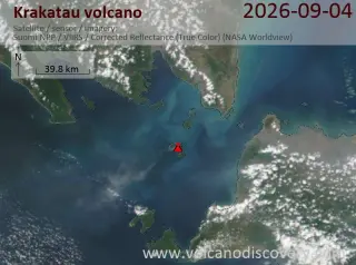
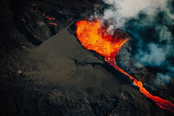
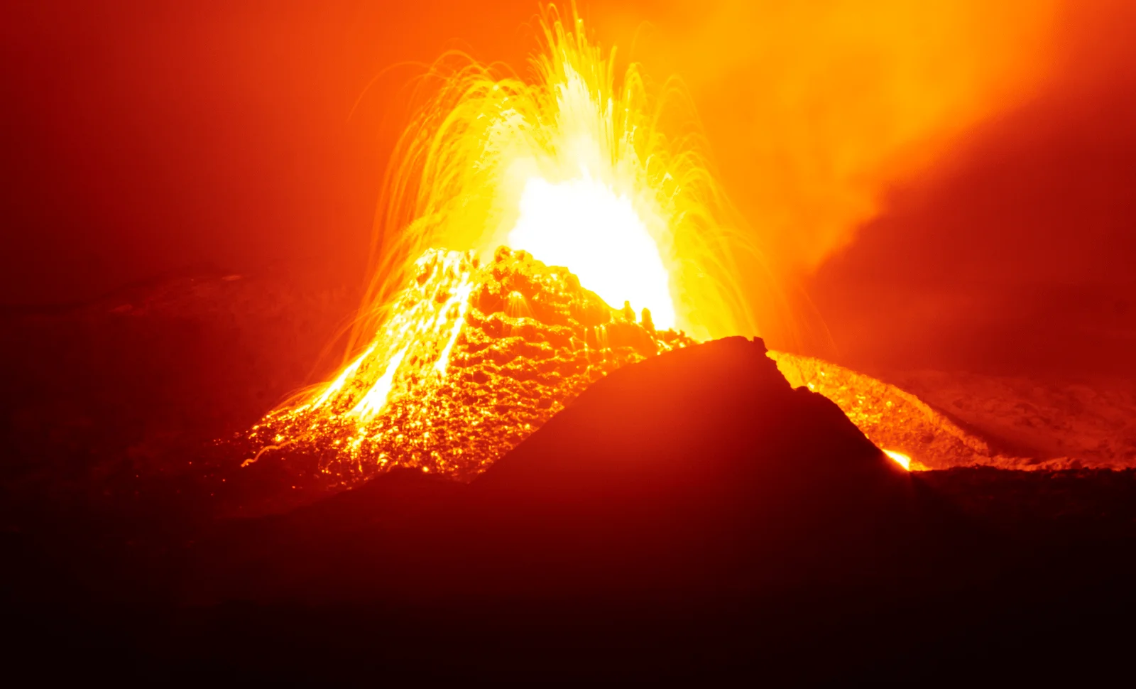
Volcanic activity at Krakatau continues with a VAAC advisory reporting an ash plume rising to flight level 450 (45,000 ft / 13,700 m) and moving west; further advisories are expected as monitoring continues (as of 16:30 UTC on Sep 4, 2026).
Geologists have dated zircon crystals from boreholes in Lincolnshire and Norfolk to about 454.4 million years ago, tying a vast eruption that spread Kinnekulle tephra across northern Europe to a buried supervolcano beneath the Wash estuary in eastern England, part of a larger caldera system. The eruption likely expelled tens to hundreds of cubic kilometers of material high into the atmosphere; today the volcano is buried and not eruptible, providing new insight into England’s deep geological history.
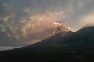
A eruption of the Fuego volcano in Guatemala prompted evacuations of nearby communities, with a photo gallery capturing ash plumes, displaced residents, and ongoing concerns about further activity and safety.
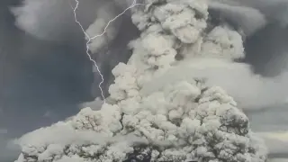
A 2022 eruption of the Hunga Tonga–Hunga Ha’apai volcano released about 330 gigagrams of methane but simultaneously destroyed roughly 900 megagrams per day through chlorine-driven reactions in the plume, with methane breakdown detectable for about 10 days as the cloud drifted toward South America. The findings suggest a natural mechanism that could inspire engineered methane-removal approaches, though practical deployment and safety concerns, plus measurement challenges, remain.
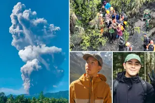
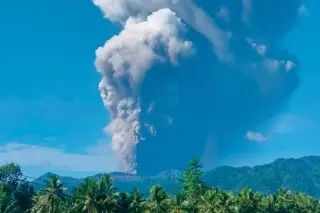
Two Singaporean hikers, Heng Wen Qiang Timothy and Shahin Muhrez bin Abdul Hamid, were found dead beneath rock debris after Mount Dukono erupted on Halmahera, Indonesia, with a third victim, Indonesian woman Enjel, also killed; about 150 rescuers searched a dangerous crater rim amid ongoing volcanic activity, and 17 other hikers survived. Authorities closed the four-kilometer crater zone and are reviewing possible negligence by tour operators as ash plumes rose high into the sky. The bodies were recovered in a complex operation, and autopsies are planned as investigations continue.
An explosive eruption of Mount Dukono on Halmahera Island killed three hikers who had entered a restricted zone; about 20 climbers were on the ascent, 14 have been evacuated, and rescuers continue searching for others amid ongoing eruptions and dangerous conditions.
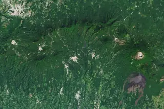
NASA’s Image of the Day spotlights western El Salvador’s Ahuachapán region, where a arc of volcanoes sits above a geothermal field that powers a long-running plant; while Santa Ana and Izalco are notable peaks, the area features fumaroles, hot springs, and steam vents, reflecting a landscape where heat fuels electricity yet can provoke eruptions and evacuations.
A decade-long study of the Jerk system—an automated, single-station seismometer near Piton de la Fournaise—accurately predicted about 92% of eruptions, issuing alerts minutes to eight hours before surface activity and validating 24 eruptions. Researchers aim to test the approach on Mount Etna, reduce false positives, and expand with multiple stations and deeper boreholes to generalize the method.
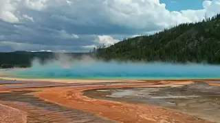
A new 3D model of Yellowstone and the Eastern Snake River Plain suggests tectonic forces within the lithosphere drive magma generation and migration from the shallow mantle (upper asthenosphere) into a complex plumbing system, rather than a deep mantle plume powering a single giant chamber. This tectonically controlled magma movement could improve eruption forecasting and hazard assessment for the park’s massive caldera, whose last major eruption occurred about 630,000 years ago and is not expected imminently.
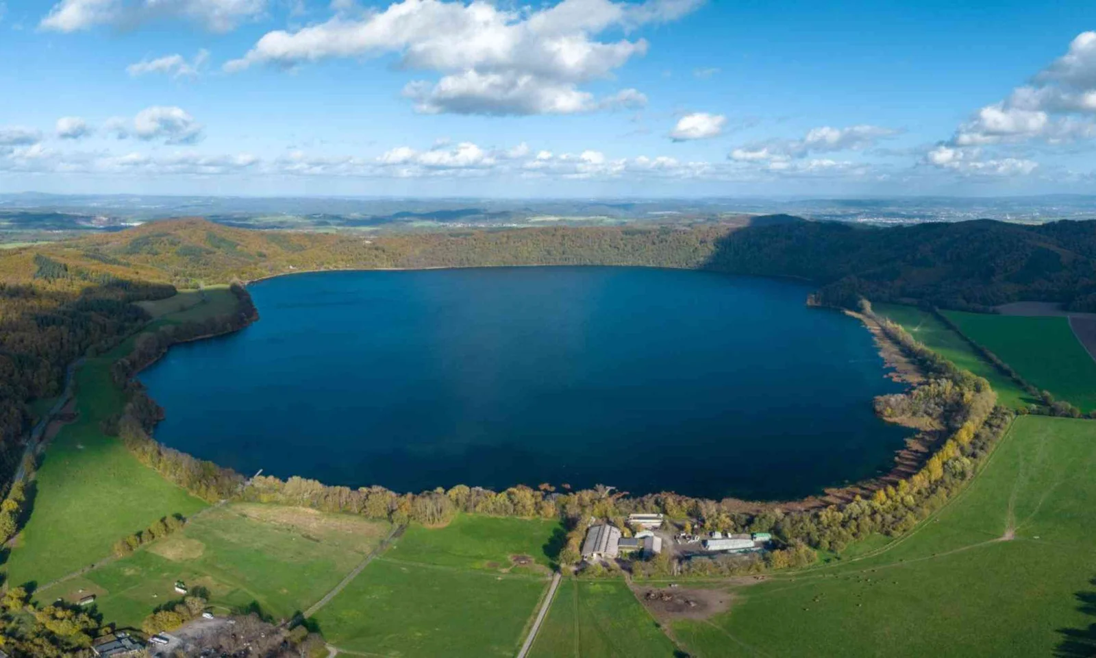
Scientists tracing Germany’s dormant Lake Laach volcano logged over 1,000 microearthquakes in a year, mapping a buried, tilted magma reservoir that leans toward the Neuwied Basin. Using 500 sensors and a fiber-optic line, they see a crustal system likely driven by moving fluids, which could indicate pressure changes but does not prove an eruption is imminent. The study, published in Geophysical Journal International, reframes the area as an active, watch-worthy volcanic field with a new baseline for monitoring future unrest.
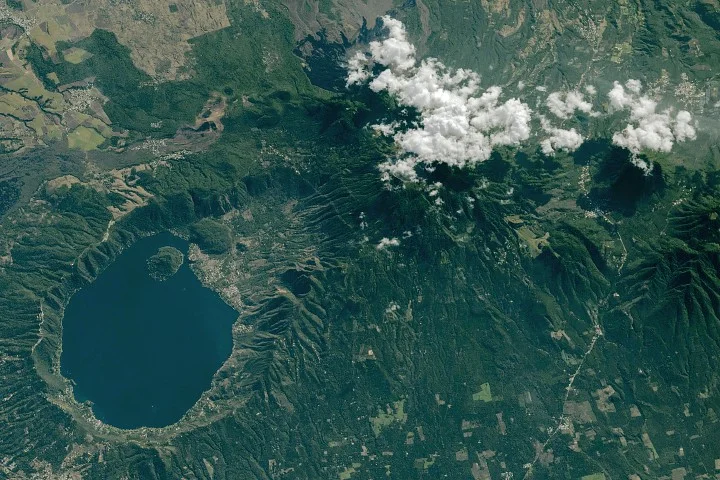
NASA’s Earth Observatory highlights Lake Coatepeque in El Salvador, a blue caldera lake formed by ancient eruptions. A February 10, 2026 ISS image captures the surrounding volcanic landscape and the caldera’s rim near Santa Ana; while Santa Ana remains active, Coatepeque has had no eruptions in the Holocene. The lake’s sometimes turquoise color is linked to natural mineralization and pigments from microalgae/cyanobacteria. The image, taken with a Nikon Z9, illustrates the Central American Volcanic Arc and the human development around the lake.
Volcanoes come in various forms, including supervolcanoes that produce enormous eruptions (VEI 8), create surface depressions, and erupt infrequently. Yellowstone is a famous example. The largest volcano on Earth is actually underwater: Tamu Massif in the Pacific, about 310,000 square kilometers in area with roots extending ~30 kilometers into the crust, formed around 145 million years ago and now extinct. Mauna Loa was previously considered the largest on land, while Olympus Mons is often cited for scale in comparisons.
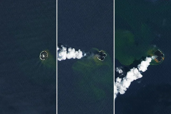
NASA’s Earth Observatory reports that Home Reef, a mid-ocean volcano near Tonga, continued erupting from December 2025 into February 2026, expanding its land area by about 8 hectares as lava flows extended the island; satellite data from Landsat 8/9, MODIS, and VIIRS tracked growth and gas plumes, while authorities say the current activity poses low risk to nearby populations.
Large Igneous Provinces (LIPs) are massive, long-lasting volcanic events capable of causing global destruction and mass extinctions, with historical examples like the Siberian Traps illustrating their potential to reshape Earth's environment and climate. While rare today, understanding LIPs is crucial for preparedness, as their effects include climate disruption, ecosystem collapse, and potential threats to civilization.