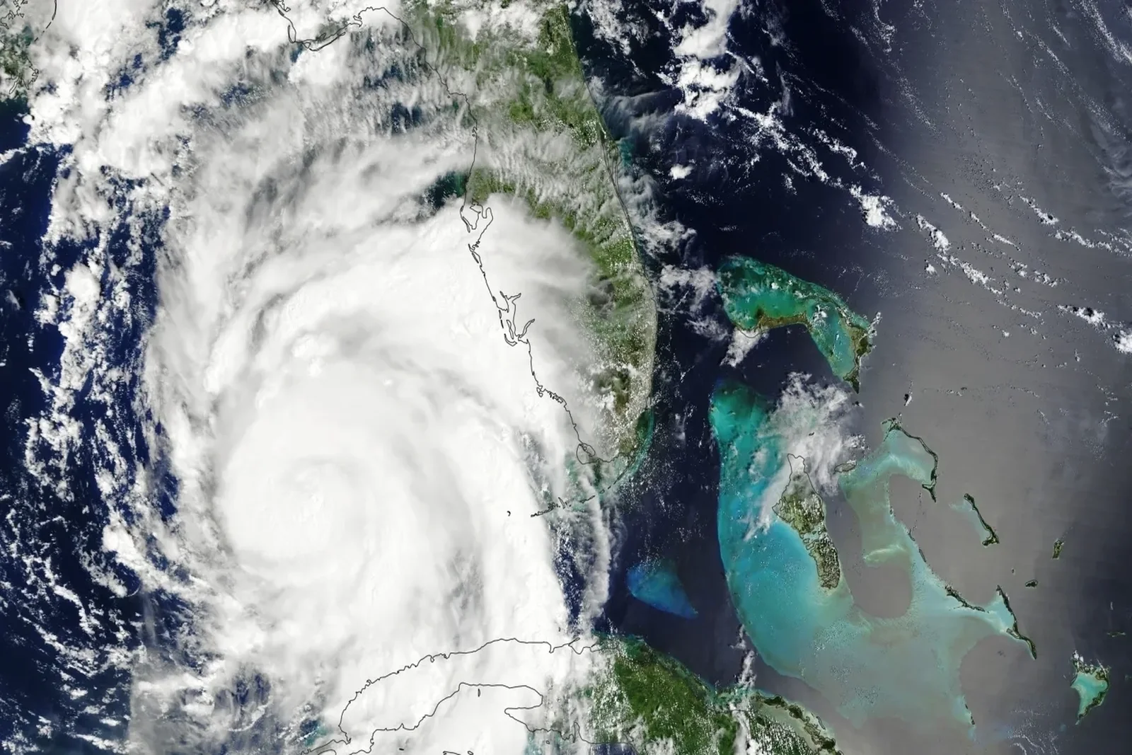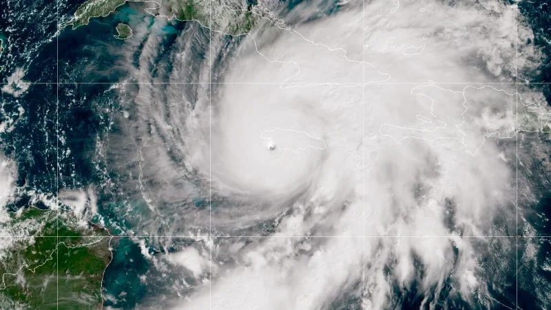
El Niño Settles In: Quiet Atlantic Season, Wetter South Florida Ahead
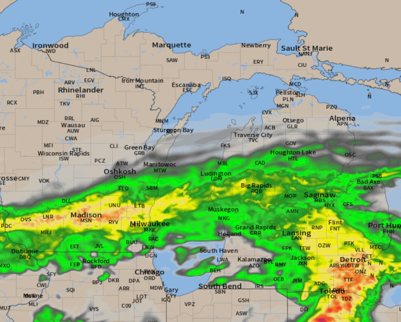
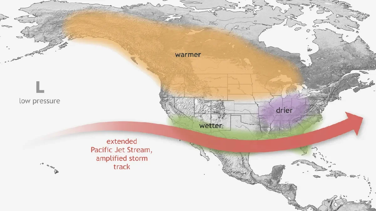
NOAA and climate models indicate El Niño will strengthen and likely persist into early 2027, dampening Atlantic tropical development via increased wind shear and forecasting a below-average 2026 hurricane season (CSU projects about 9 named storms, 4 hurricanes). For South Florida, the pattern points to a cooler, wetter, and potentially stormier winter driven by a persistent subtropical jetstream, signaling notable contrasts to the prior winter.